 Hiking
 Login
Login
 More
More
 EN
EN
 Premium
Blauberg-Wolfsdonk–Blauberg
automatic translation
7.6 km • Herselt
1.9373 0 0/5
7.6 km
0.0 km
0.0 km

 Addresse starting point (approximate)
Blauberg 15, 2230 Herselt, BE
 signage
The route is partially signposted with nodes. Use a GPS device or our app to follow the route.
© Jan Theunis
 Description
Walked on 3/1/2026
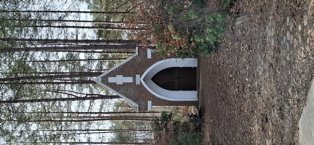
Parking: At the church of Blauberg
Walked distance according to GPS: 7.4 km.
Signposting: GPS/Walking App.
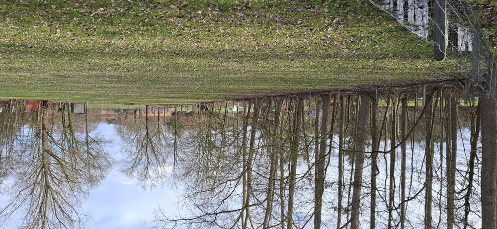
This walking loop Blauberg - Wolfsdonk - Blauberg is a varied walk through woods and along fields and was organized by the walking club WSC Langdorp. Nice walk, 50/50 paved and unpaved. In wet weather, there are some muddy stretches and good walking shoes are a must.
Bench(es): at 0.5/4.2 and 5.7 km, among others.
automatic translation


 Upgrade to Premium Plus
