 Hiking
 Login
Login
 More
More
 EN
EN
 Premium
Klotbroek and Zonhoverheide
automatic translation
7.2 km • Genk
1.8452 0 0/5
7.2 km
0.0 km
0.0 km

 Addresse starting point (approximate)
Klotstraat 125, 3600 Genk, BE
 signage
The route is partially signposted with nodes. Use a GPS device or our app to follow the route.
© Jan Theunis
 Description
Walked on 26/02/2026
Parking: Campus Ter Heide, Klotstraat 125 Genk
Distance walked according to GPS: 7.04 km.
Signage: GPS/Walking App.
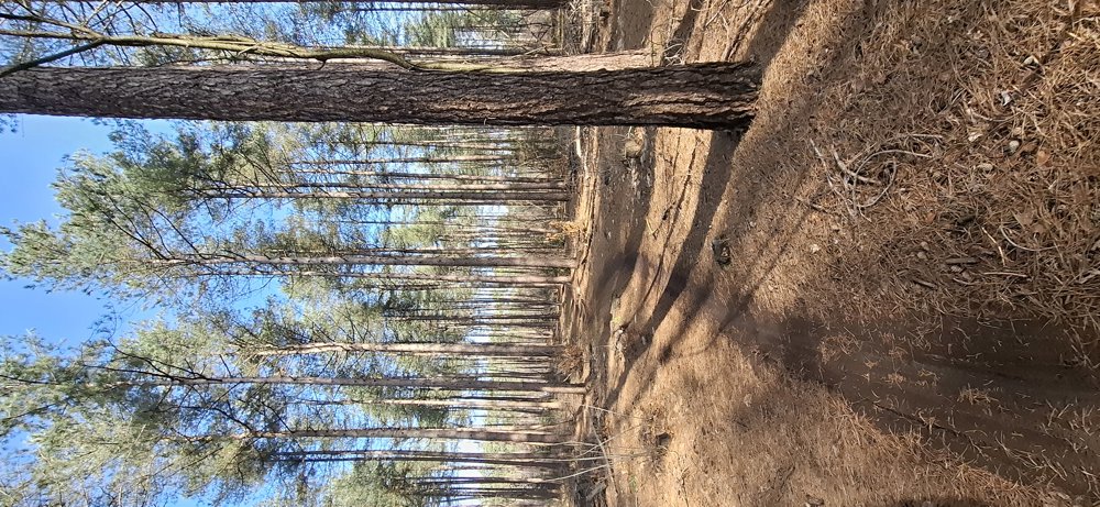
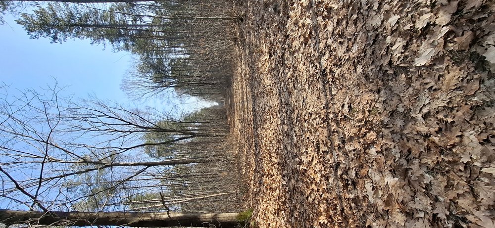
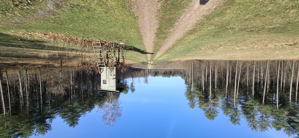
Beautiful walk through the forests of Klotbroek and Zonhoverheide. Lightly undulating walk. At the end of the walk, keep the unpaved path to the right on Klotstraat; you will come directly to the campus. (The app draws this incorrectly if you select speech).
Bench(es): None.
automatic translation


 Upgrade to Premium Plus
