
 Hiking
 Login
Login
 More
More
 EN
EN
 Premium
Bosland National Park
automatic translation
5 km • Lommel
2.3412 0 0/5
5 km
0.0 km
0.0 km

 Addresse starting point (approximate)
Rijtenstraat 79, 3920 Lommel, BE
 signage
The route is not signposted. Use a GPS device or our app to follow the route.
© Jan Theunis
 Description
Walked on 17/02/2026
Parking: Rijtenstraat Lommel, at the football club Lansiers.
Distance walked according to GPS: 5 km.
Signage: GPS/Walking App.
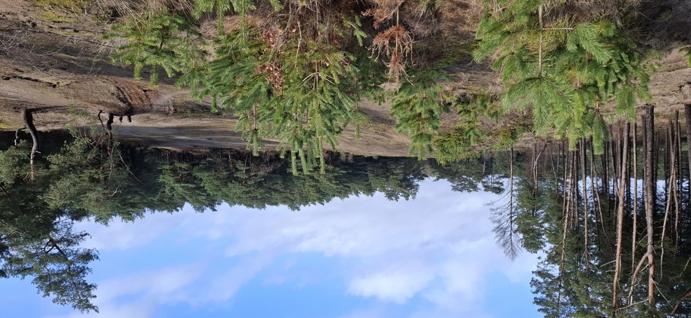
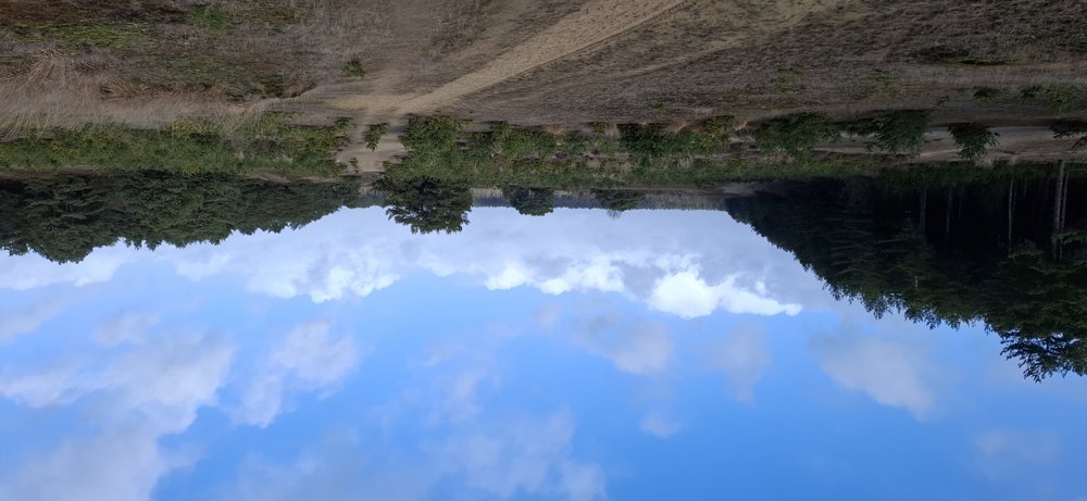
Nice short walk through the "National Park Bosland." Self-mapped route, so no following of junction points, pleasantly adventurous. Always through the woods and a small stretch through the Lommel Sahara, a delight for the ears as it is so quiet here.
Rest bench(es): None.
automatic translation



 Upgrade to Premium Plus


