
 Hiking
 Login
Login
 More
More
 EN
EN
 Premium
The Malesbroek
automatic translation
7.6 km • Geel
2.5202 0 0/5

 Addresse starting point (approximate)
Kemeldijk 12, 2440 Geel, BE
 signage
The route is partially signposted with nodes. Use a GPS device or our app to follow the route.
 Description
Walked on 02/13/2026
Parking: Kemeldijk Winkelomheide (Municipal primary school).
Walked distance according to GPS: 7.49 km.
Signposting: Junction points/GPS/Walking app.
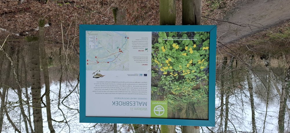
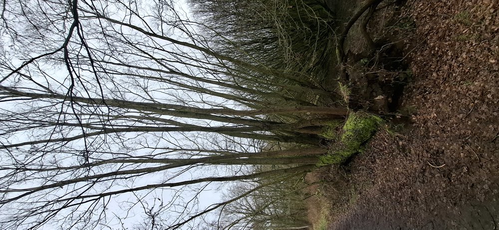
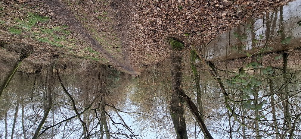
The first 2.5 km are on traffic-free paved roads, but then a very beautiful section follows through the Malesbroek and you walk along the Grote Nete. Despite the wet weather, the paths were in good condition. Further on, it alternates between paved roads and unpaved paths with another nice forest section.
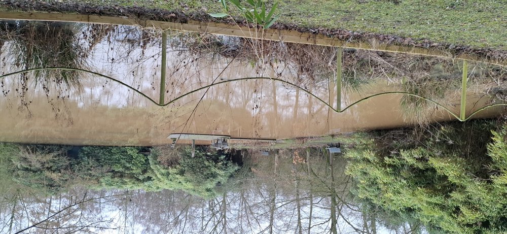
Bench(es): among others at 1.9/5.7/6.7 km.
Catering: after 5.9 km you pass by "De Cuylhoeve".
automatic translation
 nodes to follow
0 km

0.3 km
1.1 km
1.5 km
2.1 km
2.8 km
4.1 km
4.5 km
5 km
5.2 km
5.4 km
5.6 km
5.9 km
6 km
6.5 km
6.8 km
7.1 km

7.6 km



 Upgrade to Premium Plus


