 Hiking
 Login
Login
 More
More
 EN
EN
 Premium
Bray (Binche) quiet area 15 km
automatic translation
15.3 km • Binche
1.1171 0 0/5

 Addresse starting point (approximate)
Rue de Maurage 65, 7130 Binche, BE
 signage
The route is not signposted. Use a GPS device or our app to follow the route.
 Description
Departure: Bray Cemetery - rue de Maurage 65 - Binche
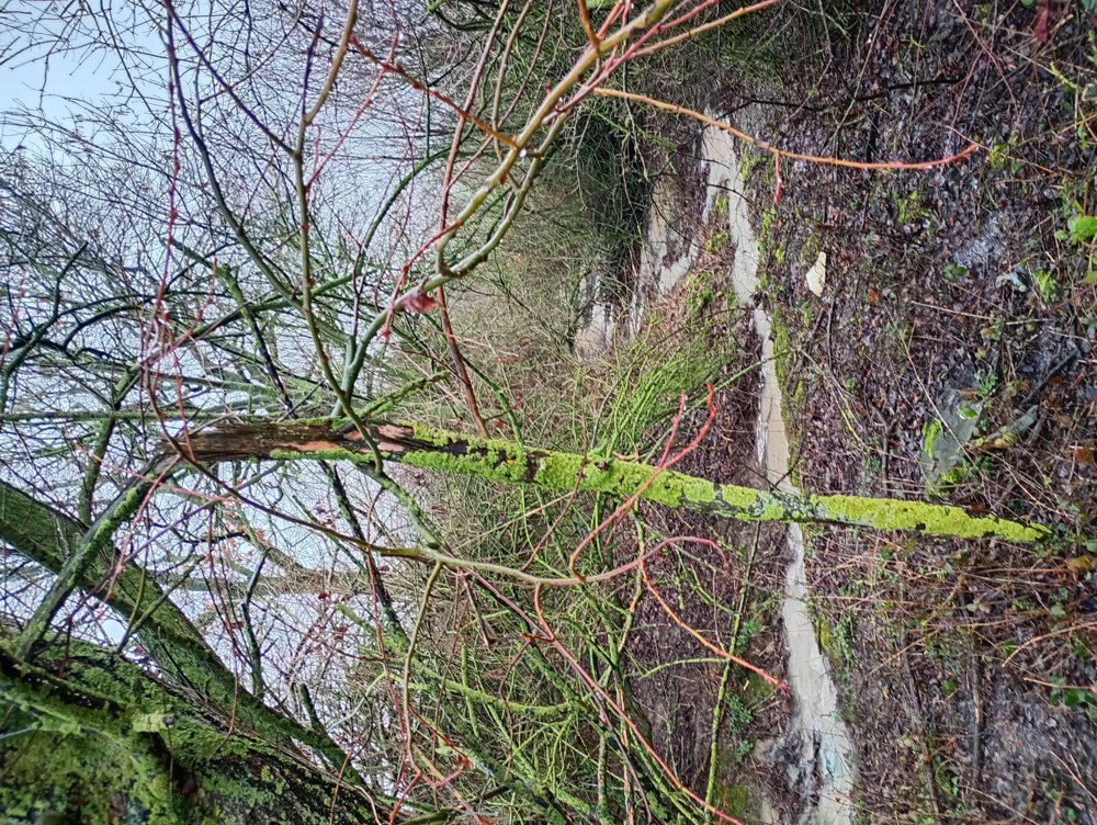
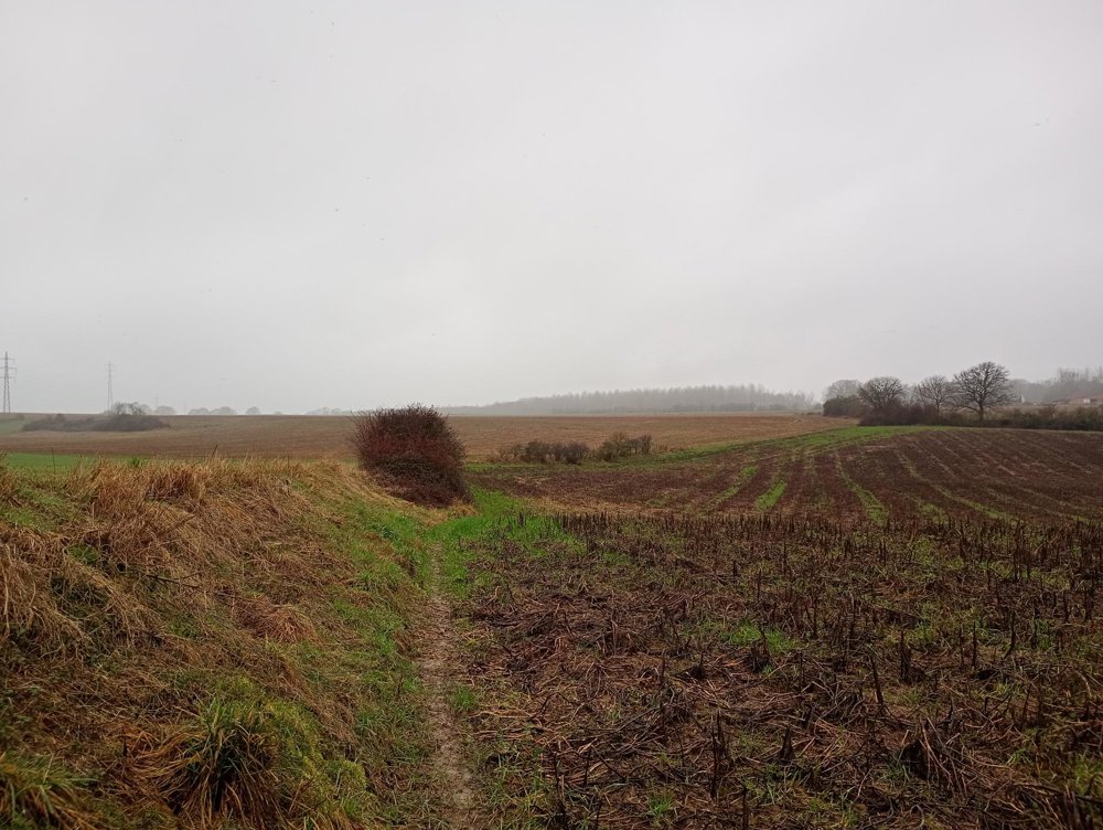
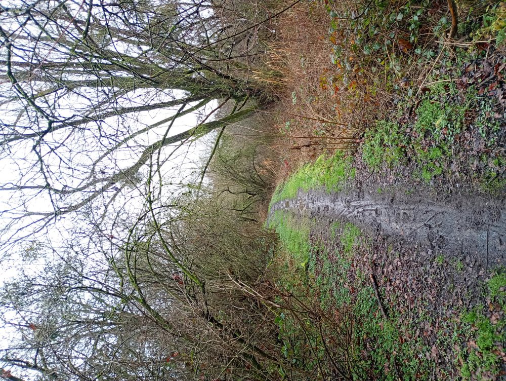
A very varied walk, but good waterproof shoes and trousers that can get dirty are recommended here. We walk through the fields to the Bois du Planti and then through the Bois du Rapois, where white wild hyacinths bloom in spring. Between these two woods stands the beautiful castle of Beaumont.
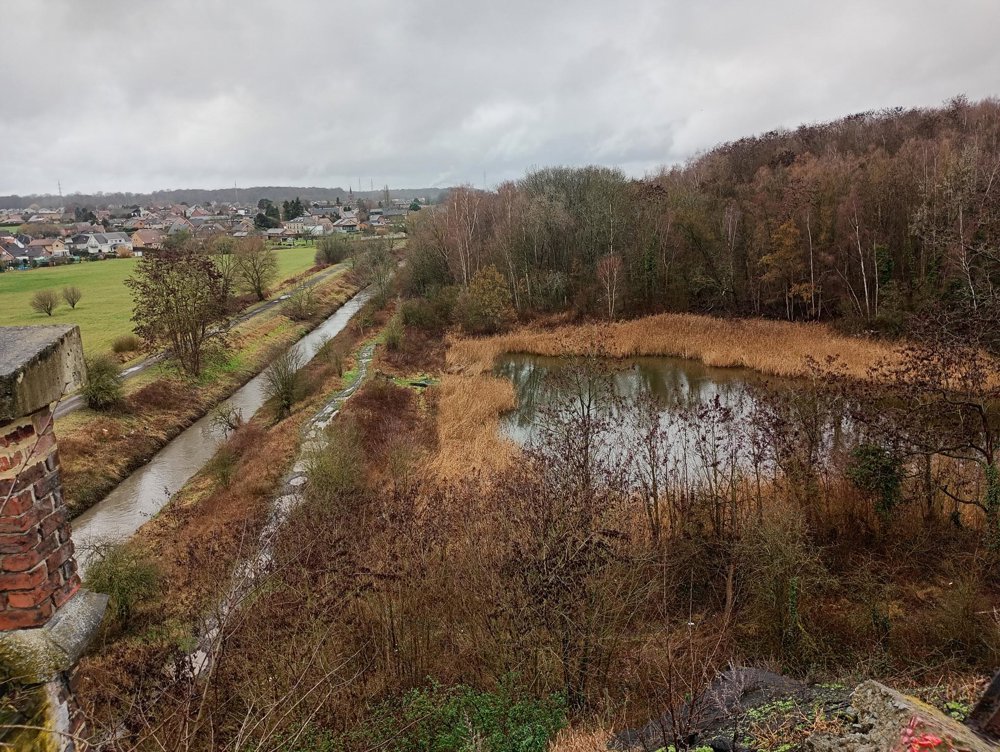
Afterwards, we walk a short distance along the Canal du Centre before turning towards the nature reserve of Thieu, a marshy area where many rare animal species have found their way back. Then on to La Garenne, a beautiful piece of nature unfortunately also discovered by illegal dumpers.
La Garenne is a small climb, but at the top, there is a wonderful view of the ponds and the river La Haine. Then back to the starting point through the cité Leburton, a social housing district with all houses having white walls and roofs - it looks like a snowy landscape!
automatic translation


 Upgrade to Premium Plus
