
 Hiking
 Login
Login
 More
More
 EN
EN
 Premium
Triangle des stériles
16.7 km • Dour
 official route
1.3132 0 0/5
16.7 km
0.0 km
0.0 km
route offered by

 Addresse starting point (approximate)
Rue Moranfayt 1, 7370 Dour
 signage
The route is fully signposted with nodes.
© Droits réservés
 Description
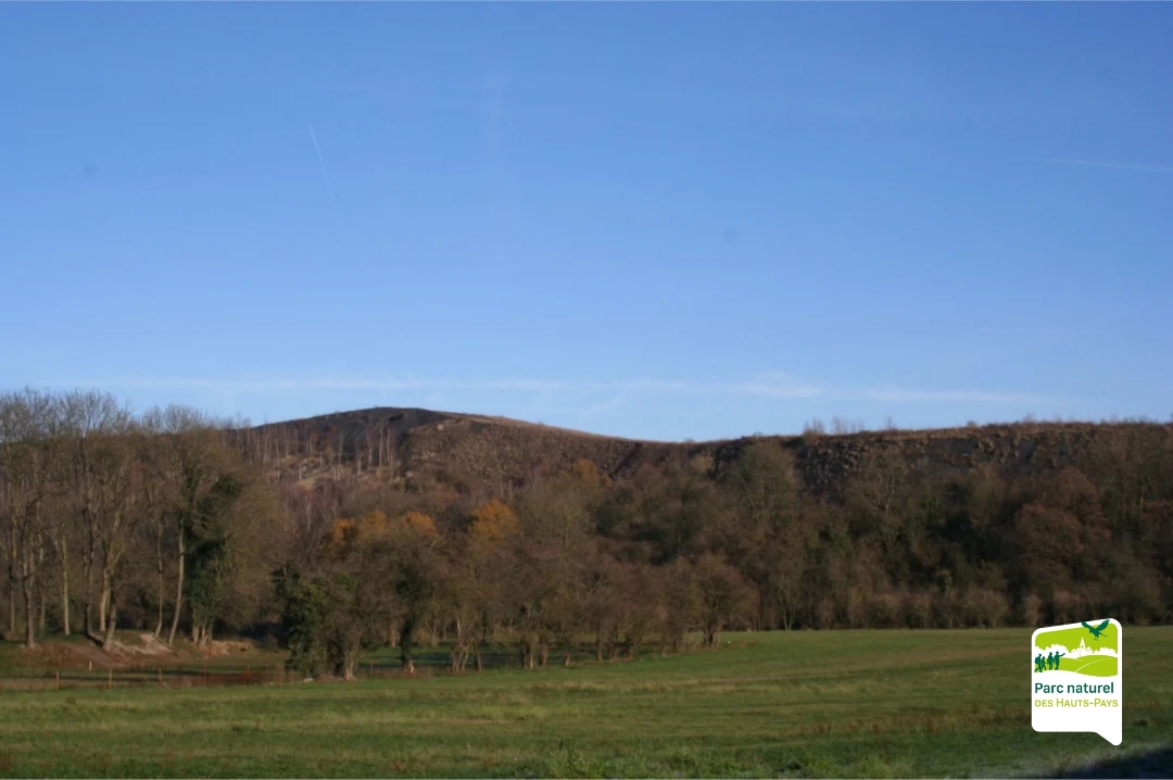
Le Triangle des Stériles - 17 km hike around the Dour slag heaps
Discover the "Triangle des Stériles", a 17 km hiking trail linking three emblematic slag heaps in the commune of Dour: Frédéric, Sauwartan and Saint-Charles. This 3-hour loop trail offers a unique immersion in the mining heritage of the Borinage region, combining nature, industrial memory and local culture.
automatic translation
 nodes to follow
0 km
0.8 km
1.6 km
1.7 km
2.5 km
3.2 km
3.5 km
3.7 km
4.8 km
5.1 km
5.5 km
6.6 km
7 km
10.4 km
11.8 km
11.9 km
13 km
13.5 km
15.9 km
16.6 km



 Upgrade to Premium Plus


