
 Hiking
 Login
Login
 More
More
 EN
EN
 Premium
Natura 2000 walk Frameries-Colfontaine-Dour : Loop B
automatic translation
10.1 km • Frameries
 official route
6871 1 2/5
route offered by

 Addresse starting point (approximate)
Rue de Dour - 7080 Frameries
 signage
The route is fully signposted with nodes.
 Description
Hiking in Colfontaine: discover Blaugies, Sars-la-Bruyère and the Poterie du Donjon
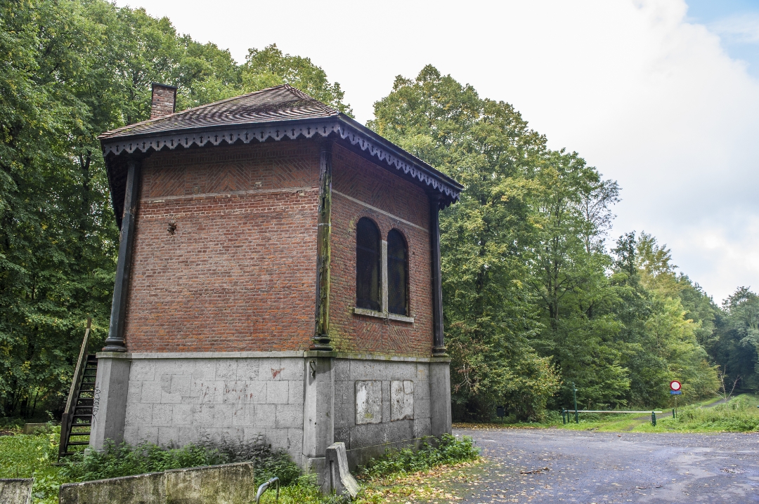
Set off on an adventure in the heart of the Parc Naturel des Hauts-Pays with this hike starting in the forest of Colfontaine, precisely from the Pavillon des Chasseurs. After a start in the heart of nature, the route takes you off the beaten track to discover the picturesque villages of Blaugies and Sars-la-Bruyère. Along the way, don't miss the Poterie du Donjon, a remarkable historic site from which the Duke of Marlborough led the famous Battle of Malplaquet in 1709. A beautiful combination of nature, heritage and local culture.
automatic translation
 nodes to follow
0 km
0 km
0.4 km
0.6 km
1.5 km
2.7 km
3.1 km
4.3 km
5.7 km
6.7 km
7.2 km
8.4 km
8.9 km
9.5 km
9.8 km
10.1 km



 Upgrade to Premium Plus


