
 Hiking
 Login
Login
 More
More
 EN
EN
 Premium
Promenade Jacques Libiez
automatic translation
8.8 km • Colfontaine
 official route
7011 1 5/5
route offered by

 Addresse starting point (approximate)
Rue Baille Cariotte - 7340 Colfontaine
 signage
The route is fully signposted with nodes.
 Description
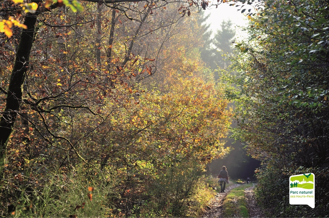
A peaceful stroll in the heart of the Colfontaine state forest. Discover the Promenade Jacques Libiez, a pleasantly undulating walk that will seduce you with its tranquility, rich landscapes and diverse points of interest.
Nestled in the Colfontaine state forest, this walk invites you to follow the Elwasmes stream, which you'll have the pleasure of fording. Along the way, you'll pass a number of emblematic and mysterious sites:
La Cave du R'mite, a Gallo-Roman vestige steeped in history
The Cerisier spring, peaceful and natural
Le ruisseau de Colfontaine, discreet and enchanting
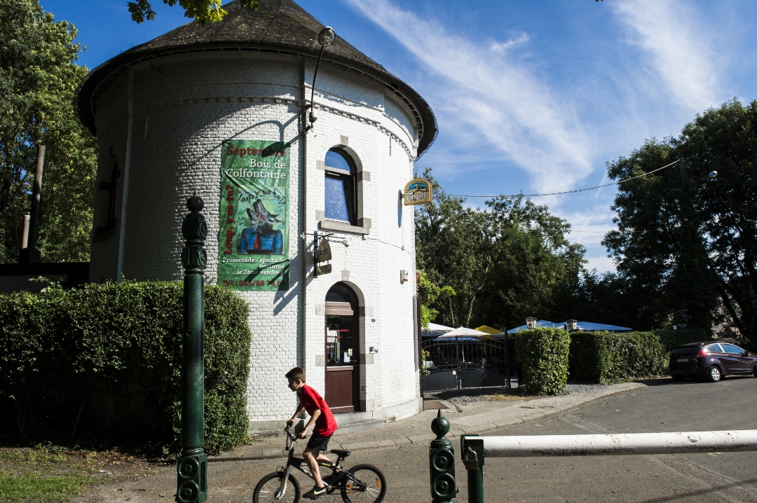
La Tour du Lait Buré, a former guinguette with an astonishing history
And finally, the enigmatic Baraque à Ramons, a blend of nature, geology and working-class memory.
Do these names mean nothing to you? That's exactly what makes this walk so captivating! Explanatory panels line the route to reveal the secrets of each site.
automatic translation
 nodes to follow
0 km
0.3 km
0.7 km
1.4 km
1.9 km
2.4 km
2.8 km
2.9 km
3.3 km
3.7 km
4.6 km
5.5 km
5.7 km
6 km
6.3 km
6.6 km
7.3 km
7.7 km
8.8 km



 Upgrade to Premium Plus


