 Hiking
 Login
Login
 More
More
 EN
EN
 Premium
Schoter Forests
automatic translation
8.9 km • Tessenderlo-Ham
5.8136 0 0/5

 Addresse starting point (approximate)
Heggebossenweg 33, 3980 Tessenderlo, BE
 signage
The route is not signposted. Use a GPS device or our app to follow the route.
 Description
Walked on 1/28/2026
Parking: Heggenbossenweg 12A, Tessenderlo (Dog Club).
Walked distance according to GPS: 8.78 km.
Signage: GPS/Hiking App.
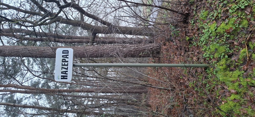
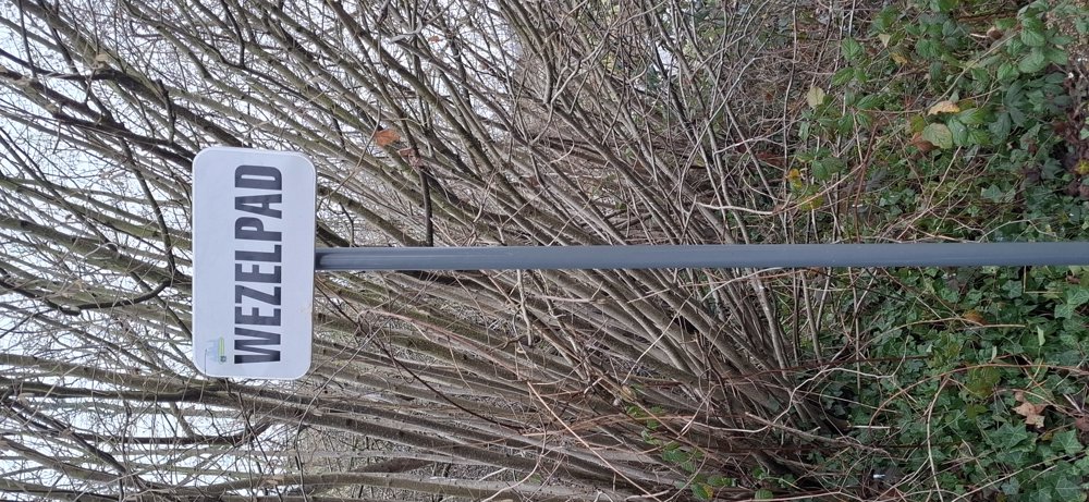
Self-composed walk, it's always uncertain if you can pass everywhere with this kind of walks. But no problems; you can easily pass everywhere. With street names like Hazepad, Konijnepad, Eekhoornpad, etc., it can't be otherwise :-).
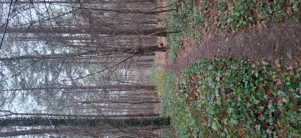
There are many holiday homes in these semi-paved streets, but it is very quiet here. Surprisingly nice walk through the 'Schoterse bossen'.
Rest bench(es): 0
automatic translation


 Upgrade to Premium Plus
