Loading...

Nature Reserve the Dijken

automatic translation

7.4 km • Diepenbeek

3.0841 0 0/5

7.4 km 0.0 km 0.0 km

route offered by

Jan Theunis

Icon starting point Addresse starting point (approximate)

Patersplein 4, 3590 Diepenbeek, BE

Icon type signage of route signage

The route is fully signposted with nodes.

5m 5m 5m 5m
Atmosphere image 1 of route Nature Reserve the Dijken Atmosphere image 2 of route Nature Reserve the Dijken Atmosphere image 3 of route Nature Reserve the Dijken
© Jan Theunis

Icon description route Description

Walked on 1/26/2026

Parking: Patersplein Rooierheide.

Distance walked according to GPS: 7.51 km.

Signage: Walking junctions/GPS/Walking App.

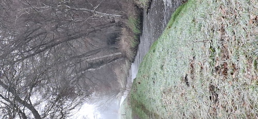
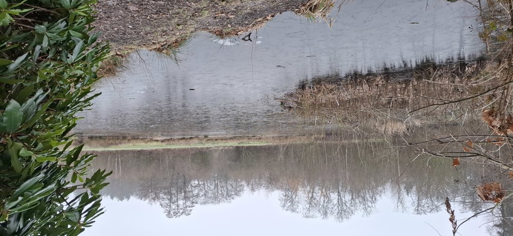
First, you have to face 3.1 km of paved roads, including a section along the N702 and the Diepenbeek Campus. But then you step into a beautiful bit of nature: "De Dijken Nature Reserve", very nice to walk.

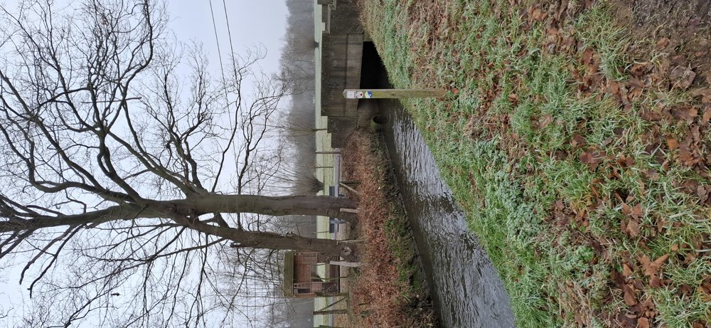
After 5.8 km, there is a very muddy section (in wet weather), which luckily is not too long. Then a short stretch through the Patersbos and you are back at your starting point.

Bench(s): among others at 4, 5.7, and 7 km.

automatic translation

Icon nodes to follow nodes to follow

Image node TP
0 km
Image node TP
0.8 km
Icon deviation route
1.8 km
Icon deviation route
2 km
Image node TP
2.9 km
Image node 90
3.2 km
Image node 91
4.4 km
Image node 92
4.6 km
Image node 93
5 km
Image node 88
5.2 km
Image node TP
5.8 km
Icon deviation route
5.8 km
Icon deviation route
5.9 km
Image node TP
6 km
Image node 87
7.1 km
Icon deviation route
7.3 km
Icon deviation route
7.3 km
Icon deviation route
7.3 km
Image node TP
7.4 km
This route does not have any reviews yet. Be the first!
Rate route!

Which POI do you want to show on the map?

Experimental hiking network
Unsigned icon

The route you have chosen runs (partly) along an experimental virtual hiking node network (the blue-coloured nodes and sections on the map).

You must be logged in to plan routes here.

Experimental hiking network
Unsigned icon

The route you have chosen runs (partly) along an experimental virtual hiking node network (the blue-coloured nodes and sections on the map).

These routes are not controlled in the field. Before you start hiking here, take a minute to read what an experimental hiking node network is and what rules you should follow when hiking here.