 Hiking
 Login
Login
 More
More
 EN
EN
 Premium
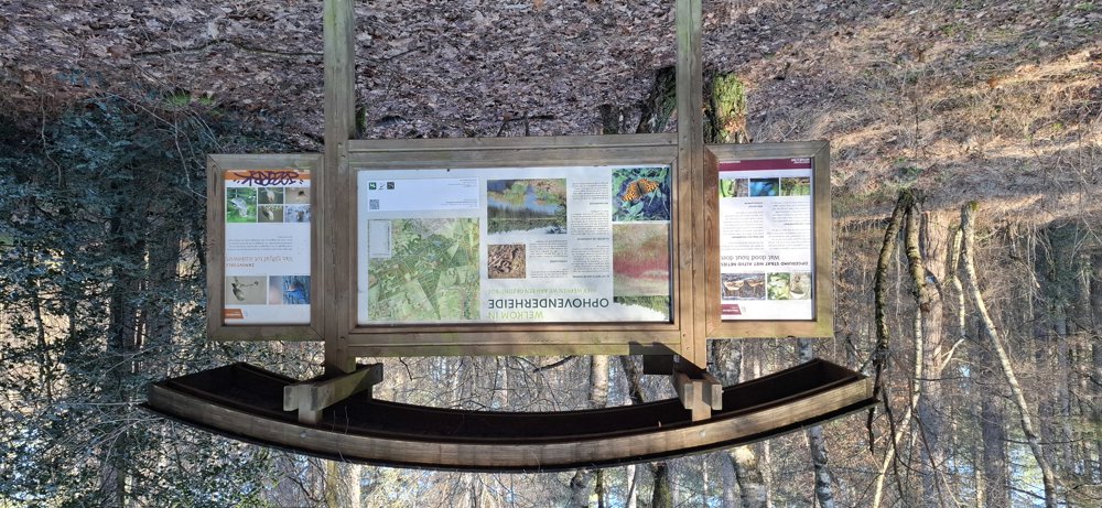
Ophovenerheide
automatic translation
9 km • Oudsbergen
1.9213 0 0/5

 Addresse starting point (approximate)
Weg naar Opglabbeek, 3670 Oudsbergen, BE
 signage
The route is not signposted. Use a GPS device or our app to follow the route through the virtual nodes.
 Description
Walked on 01/24/2026
Parking: Road to Opglabbeek, P1 Donderslag.
Distance walked according to GPS: 9.05 km.
Signage: Junctions/GPS/Walking App.
Virtual junctions, I don't like them! So use walking app/GPS. Those who enjoy walking through the woods should definitely do this walk. Through the forests of Ophovenerheide and along the Ruiterskuilen.
After junction 10, you go 700 m on the bike path and between junctions 14 and 224 there is another stretch of bike path, but otherwise all forests. Nice walk.
Rest bench(es): e.g., at 1.8/4/5.9 and 7.6 km.
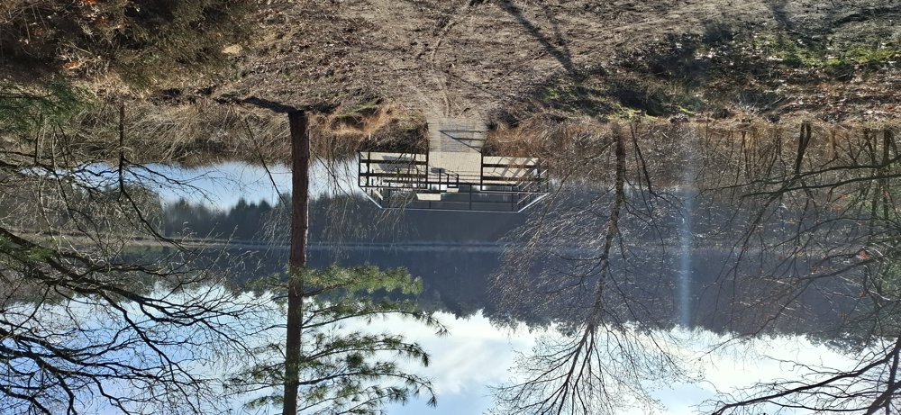
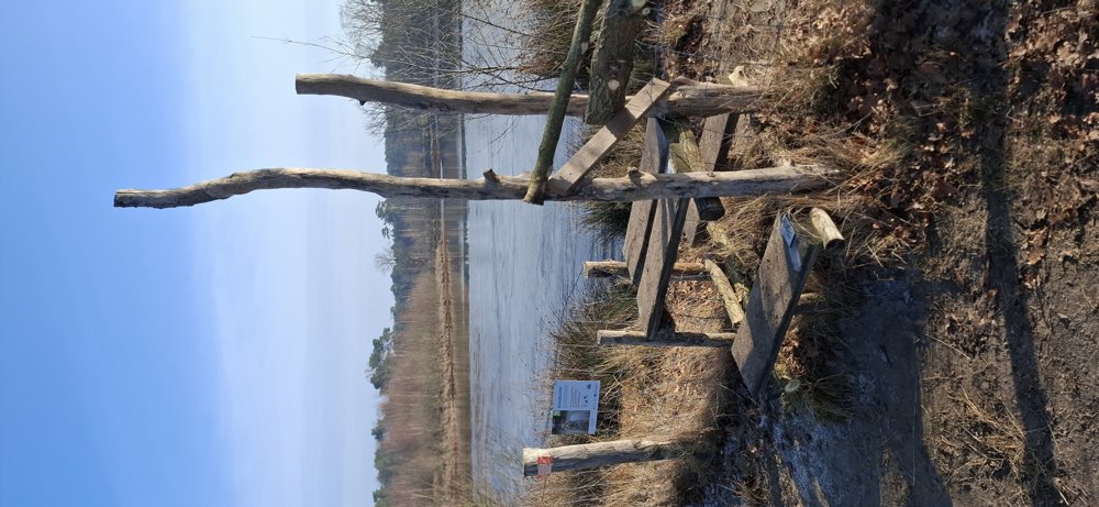
Attractions: Ruiterskuilen (pond).
automatic translation
 nodes to follow
0 km
0.9 km
1.2 km
1.8 km
2.5 km
3.9 km
4 km
4.9 km
5.2 km
5.9 km
5.9 km
6.6 km
8 km
9 km


 Upgrade to Premium Plus
