 Hiking
 Login
Login
 More
More
 EN
EN
 Premium
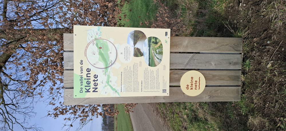
Along the Kleine Nete
automatic translation
6.8 km • Kasterlee
2.5442 0 0/5
6.8 km
0.0 km
0.0 km

 Addresse starting point (approximate)
Arkstraat 6, 2460 Kasterlee, BE
 signage
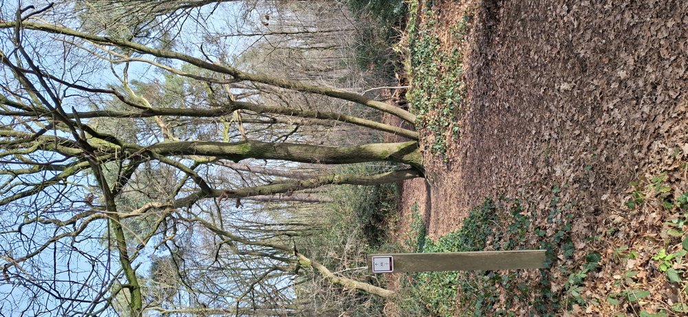
The route is fully signposted with nodes.
© Jan Theunis
 Description
Walked on 1/21/2026
Parking: Arkstraat, at the Ark of Noa.
Distance walked according to GPS: 6.72 km.
Signage: Waypoints/GPS/Hiking App.
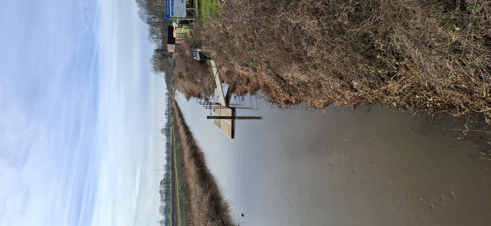
Start along the unpaved path at the "Kleine Nete" towards knp32. Alternating between paved and unpaved sections, the paved sections are low-traffic. A second nice unpaved section is between knp30 and 88. A third unpaved section goes over the Pompenpad and Papendijk, shortly after you are back at the parking lot.
Rest bench(es): e.g. at 1.1 and 3.4 km.
Sights:
Catering: Ark of Noa.
automatic translation
 nodes to follow
0 km
2.2 km
3.3 km
4.5 km

4.6 km
5.2 km
5.6 km
6.3 km
6.8 km


 Upgrade to Premium Plus
