 Hiking
 Login
Login
 More
More
 EN
EN
 Premium
Nature Reserves Mosselgoren and Neerhelst-De Botten
automatic translation
9 km • Geel
2.0874 3 3.7/5

 Addresse starting point (approximate)
Gebeunt 1, 2440 Geel, BE
 signage
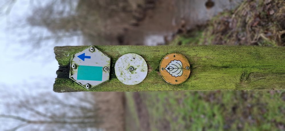
The route is fully signposted with thematic signs (no nodes).
 Description
Walked on 21/1/2026
Parking: Gebeunt 1 at Thijs, Sas 9 Geel.
Distance walked according to GPS: 8.9 km.
Signage: Round sign with a leaf on it/GPS/Walking App.
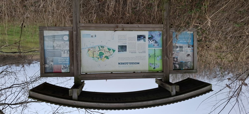
This is a shortened version of "Langs Mosselgoren en Neerhelst". To avoid the long paved section from the mill to the canal, we started at Sas 9. In my view, this only makes the walk more beautiful, because after 1.3 km you already reach the nature reserve Mosselgoren.
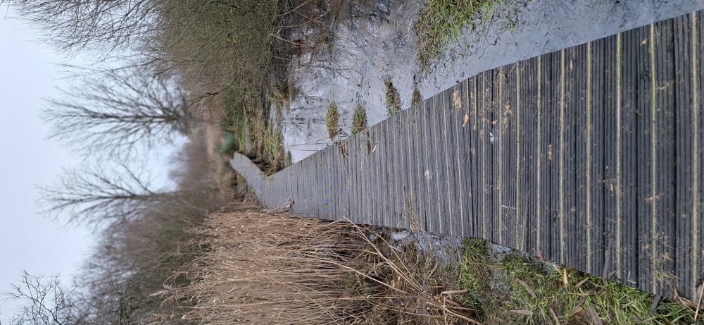
This is a very quiet area of nature, here and there a bit moist, but with the right footwear very doable.
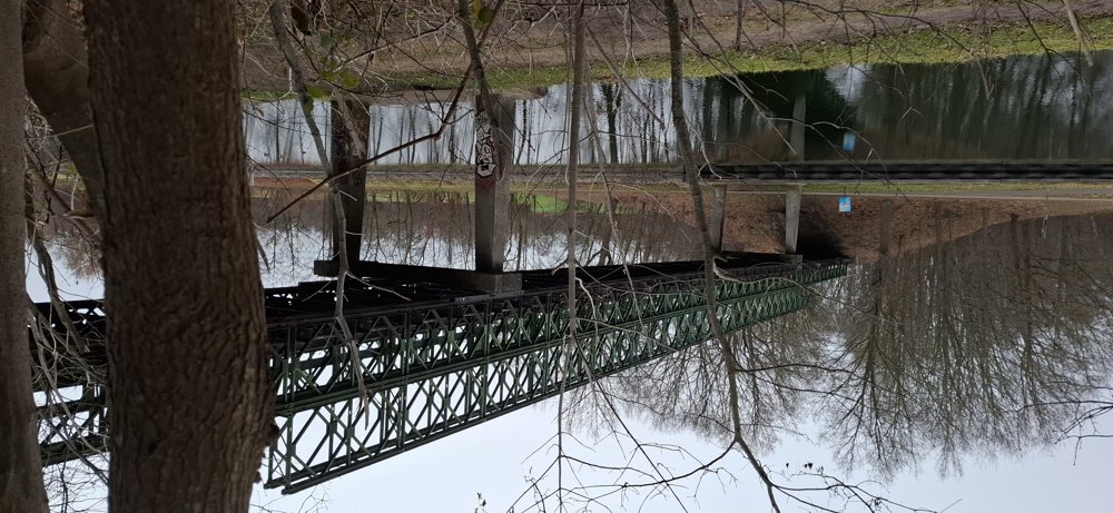
After this loop, you go via the Bailey Bridge to the second nature reserve Neerhelst-De Botten, which is nearly a copy of Mosselgoren. Back at the canal, you can return to your starting point via Sas 9. Beautiful walk.
P.S. No dogs are allowed in the nature reserves.
Bench(es): None.
Sights: Bailey Bridge.
Catering: Den Thijs, Sas 9.
automatic translation
Saturday, July 25, 2026 by Dirk ScheyltjensA really nice walk. There is indeed a bench halfway through 😉 if you need it. Starting and ending at “den Thijs” definitely adds to the experience.
automatic translation
Sunday, April 19, 2026 by N.D.It would have been helpful to mention that dogs aren't allowed…
Now we had to turn around
automatic translation
Saturday, February 28, 2026 by R.G.Very nice walk, except... dogs are NOT allowed in the Mosselgoren nature reserve. Not that we cared, but it should have been mentioned here. We don't understand the problem either. The dogs are on a leash. Are dogs the main culprits when it comes to destroying fauna and flora?
automatic translation


 Upgrade to Premium Plus
