 Hiking
 Login
Login
 More
More
 EN
EN
 Premium
Nature Reserve Catselt
automatic translation
9.6 km • Scherpenheuvel-Zichem
1.4963 0 0/5

 Addresse starting point (approximate)
Ernest Claesstraat 88, 3271 Scherpenheuvel-Zichem, BE
 signage
The route is partially signposted with nodes. Use a GPS device or our app to follow the route.
 Description
Walked on 20/1/2026
Parking: NMBS Zichem Ernest Claesstraat.
Walked distance according to GPS: 9.47 km.
Signage: GPS/Hiking App.
Start towards knp61, then to Hoornblaas, still 200 m paved to switch to unpaved. Initially, the plan was to turn right at Limietbeek, but this section is completely overgrown, so turn left to return to Hoornblaas and walk 800 m along this road.
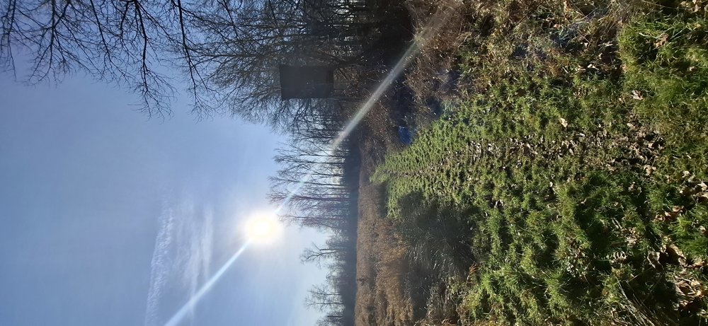
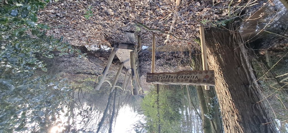
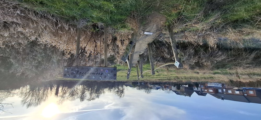
Then follows a beautiful section in “nature reserve Catselt”. Then 3 km paved through Averbode. Afterwards, you encounter another unpaved section and cross some beautiful little bridges (including Vlinder bridge, Floere bridge).
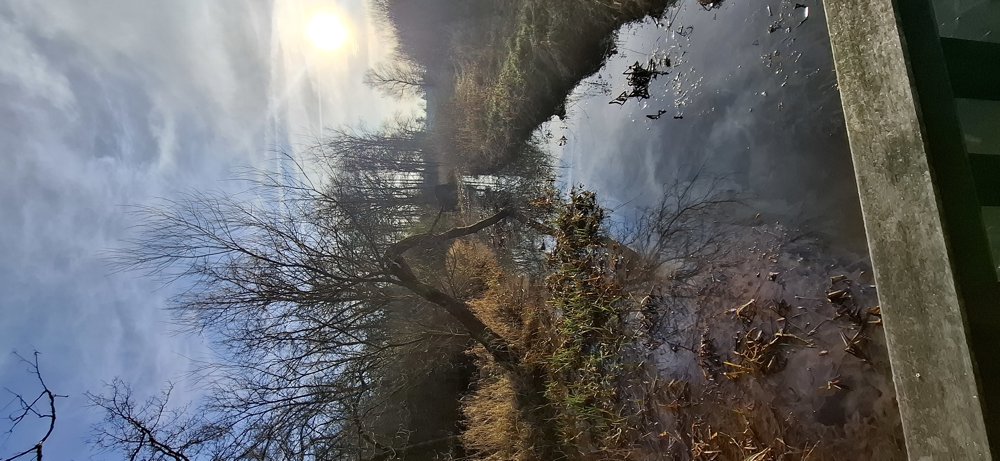
You end with a piece of “Demerbroeken”, the last section along the Hulpe was muddy. All in all, a nice walk.
Rest bench(es): e.g., at 2.8/3.6 and 8.8 km.
Sightseeing: Huize Ernest Claes.
automatic translation
 nodes to follow
0 km

0.4 km
0.9 km
1.4 km
3.1 km
3.6 km
5.2 km
6.3 km
6.8 km
7.4 km
7.8 km
8.3 km
9 km
9.1 km
9.2 km
9.5 km
9.6 km


 Upgrade to Premium Plus
