Loading...

Walking Club VOS Schaffen

automatic translation

9.1 km • Diest

1.0151 1 5/5

9.1 km 0.0 km 0.0 km

route offered by

Jan Theunis

Icon starting point Addresse starting point (approximate)

Sint-Hubertusplein 8, 3290 Schaffen, BE

Icon type signage of route signage

The route is not signposted. Use a GPS device or our app to follow the route.

5m 5m 5m 5m
Atmosphere image 1 of route Walking Club VOS Schaffen
© Jan Theunis

Icon description route Description

Walked on 1/17/2026

Parking: Sint-Hubertusplein Schaffen.

Walked distance according to GPS: 9.03 km.

Signposting: GPS/Hiking App.

Hike organized by hiking club VOS Schaffen.

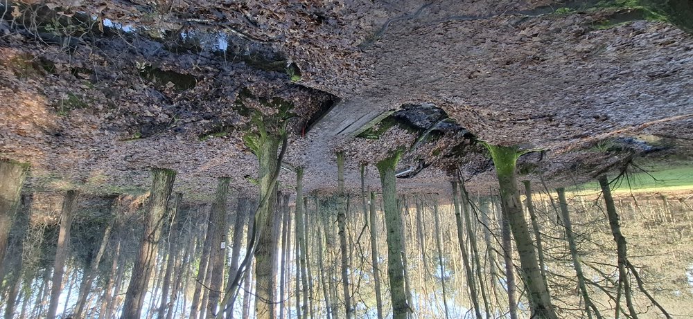
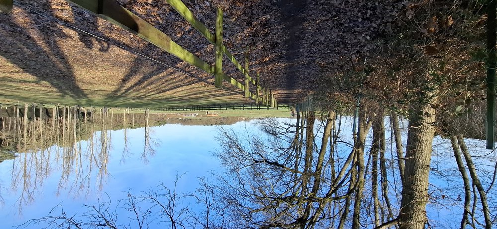
Beautiful hike through the rolling landscape around Schaffen. First 1.4 km paved uphill, but then mostly unpaved through the forest, along meadows and fields.

Bench(es): including at 1.3 km.

automatic translation

Icon nodes to follow nodes to follow

Image node TP
0 km
Image node 99
1.1 km
Icon deviation route
1.5 km
Icon deviation route
1.7 km
Icon deviation route
1.8 km
Icon deviation route
1.9 km
Icon deviation route
2.1 km
Icon deviation route
2.3 km
Icon deviation route
2.6 km
Icon deviation route
2.9 km
Icon deviation route
3.3 km
Icon deviation route
3.5 km
Icon deviation route
4 km
Icon deviation route
4.6 km
Icon deviation route
5.3 km
Icon deviation route
5.6 km
Icon deviation route
6.1 km
Icon deviation route
6.6 km
Icon deviation route
7.2 km
Icon deviation route
7.6 km
Icon deviation route
8.1 km
Icon deviation route
8.5 km
Icon deviation route
8.9 km
Image node TP
9.1 km
This route has 1 review(s).
Rate route!

Saturday, March 28, 2026 by Michèle BoesmansA wonderful walk with beautiful views.
automatic translation

Which POI do you want to show on the map?

Experimental hiking network
Unsigned icon

The route you have chosen runs (partly) along an experimental virtual hiking node network (the blue-coloured nodes and sections on the map).

You must be logged in to plan routes here.

Experimental hiking network
Unsigned icon

The route you have chosen runs (partly) along an experimental virtual hiking node network (the blue-coloured nodes and sections on the map).

These routes are not controlled in the field. Before you start hiking here, take a minute to read what an experimental hiking node network is and what rules you should follow when hiking here.