 Hiking
 Login
Login
 More
More
 EN
EN
 Premium
Along the Heimolen
automatic translation
8.8 km • Keerbergen
4.3075 2 5/5

 Addresse starting point (approximate)
Dijlestraat 67A, 3140 Keerbergen, BE
 signage
The route is partially signposted with nodes. Use a GPS device or our app to follow the route through virtual nodes.
 Description
Hiked on 16/1/2026
Parking: Keerbergen Cemetery, Dijlestraat.
Distance walked according to GPS: 8.64 km.
Signage: GPS/Hiking App.
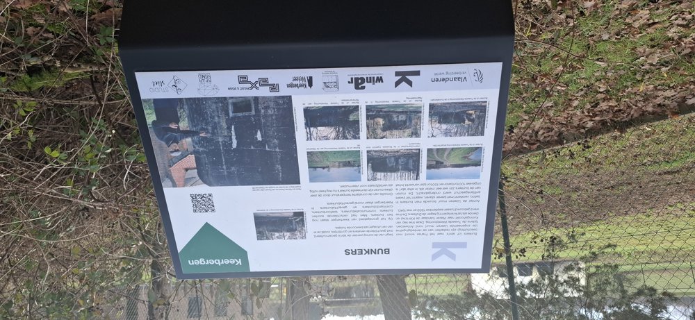
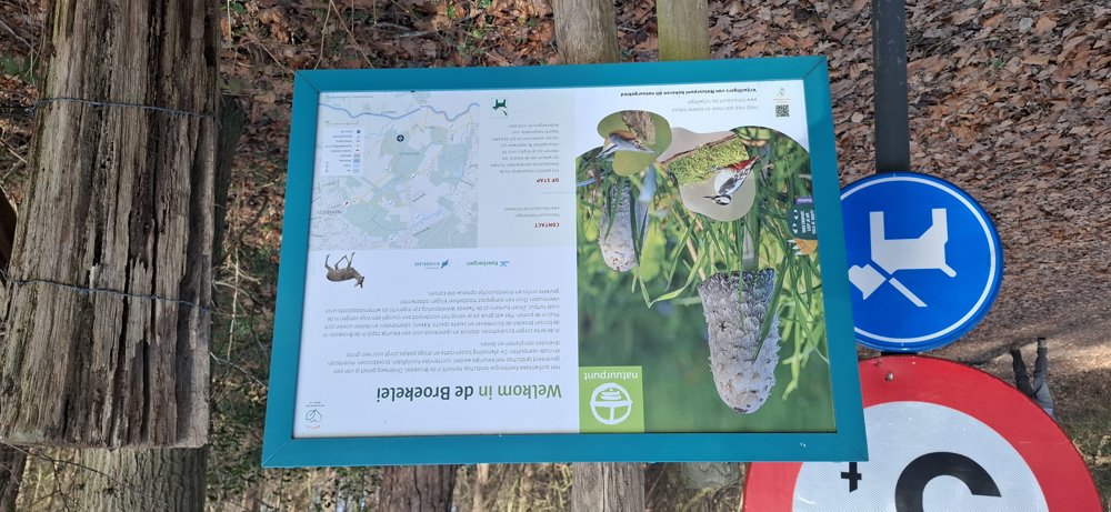
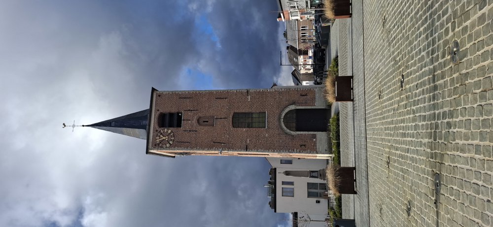
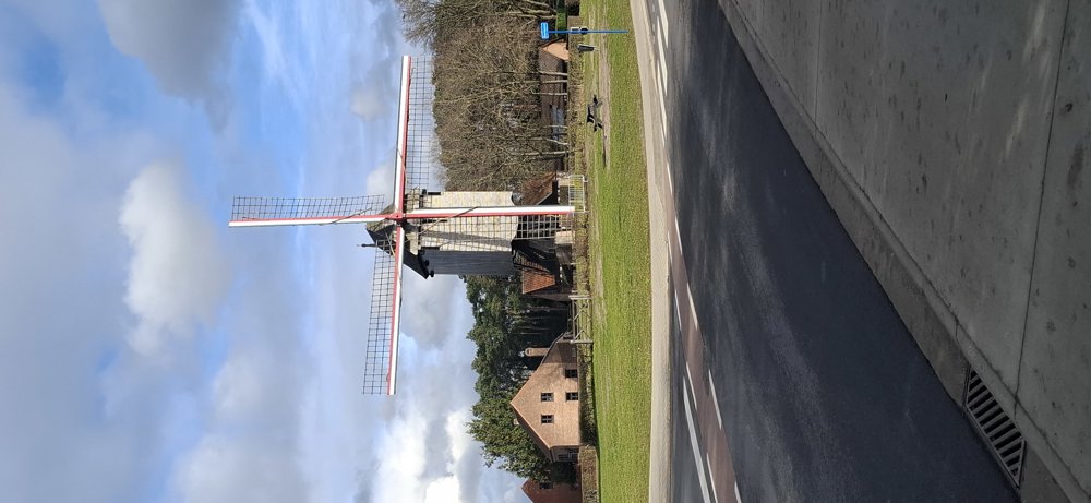
Depart in the direction of knp96. A bit of greenery through the Broekelei and then through the center of Keerbergen to the Heimolen. From here, you walk through a lot of greenery with also many buildings. The roads are certainly not all paved as indicated on the App; there are many dirt roads. Beautiful hike.
Bench(es): among others at 0.5/3.3 and 8.2 km.
Sightseeing: Heimolen.
Catering: Keerbergen Center.
automatic translation
 nodes to follow
0 km
0.4 km
1 km
1.9 km
2.4 km
3.3 km
3.3 km
3.7 km
4.8 km
5.7 km
7.8 km
8.6 km
8.8 km
Tuesday, May 19, 2026 by Carine JaekenIt was definitely worth it. We really enjoyed both the nature walk and the stroll past the villas. It doesn’t always have to be mud and slush, does it? 🤭 Afterward, we drove on to Brasserie De Gusting, also in Keerbergen, which is open every day of the week. You’re welcome there even with dirty hiking boots. Great place!!
automatic translation
Sunday, April 26, 2026 by Carl VerbinnenA nice walk, with a mix of paved and unpaved paths.
automatic translation


 Upgrade to Premium Plus
