 Hiking
 Login
Login
 More
More
 EN
EN
 Premium
Nature Reserve "Haachts Broek"
automatic translation
9.9 km • Haacht
3.5961 0 0/5

 Addresse starting point (approximate)
Dijkstraat 3, 3150 Haacht-Station, BE
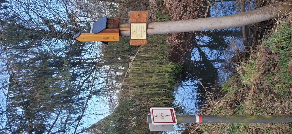
 signage
The route is fully signposted with nodes.
 Description
Walked on 16/1/2026
Parking: Sport complex “De Dijk” Dijkstraat 1 Wespelaar. Distance walked according to GPS: 9.56 km. Signage: Junction points/GPS/Hiking App.
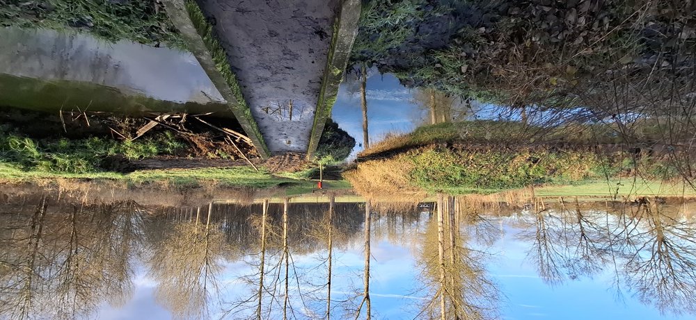
Departure towards Wespelaar center. Between junction points 519 and 514, there is a piece of nature that is somewhat marshy, so good walking shoes are recommended.
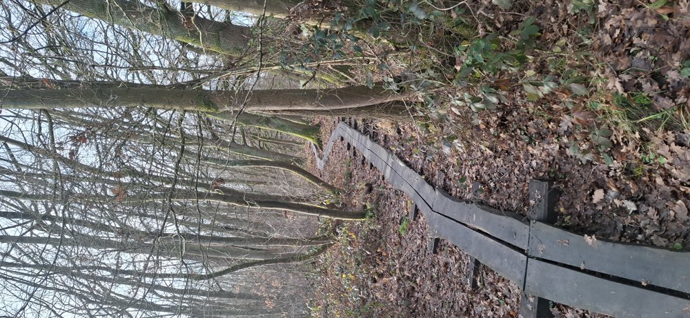
After 5.5 km, you arrive at the “Haachts Broek”. This is marked as wet but it was quite fine. Only in one place it was very wet but an alternative path has already been trodden. This is a beautiful natural area with boardwalks where necessary. Well done.
Once out of the broek, it is just a small distance to the parking. Resting benches: such as at 1.2 and 4.6 km. Sights: Bunker (WWII).
automatic translation
 nodes to follow
0 km
0.2 km
0.7 km
1.7 km
2.4 km
3.4 km
4.2 km
4.9 km
5.7 km
6.3 km
7.4 km
7.9 km
8.2 km
9.1 km
9.6 km

9.9 km


 Upgrade to Premium Plus
