 Hiking
 Login
Login
 More
More
 EN
EN
 Premium
The Kamp Hikers
automatic translation
10 km • Leopoldsburg
1.9152 0 0/5

 Addresse starting point (approximate)
Heidestraat 65, 3971 Leopoldsburg, BE
 signage
The route is not signposted. Use a GPS device or our app to follow the route.
 Description
Walked on 11/1/2026
Parking: Community center, Heidestraat 65 in Heppen.
Walked distance according to GPS: 9.74 km.
Signposting: GPS/Walking App.
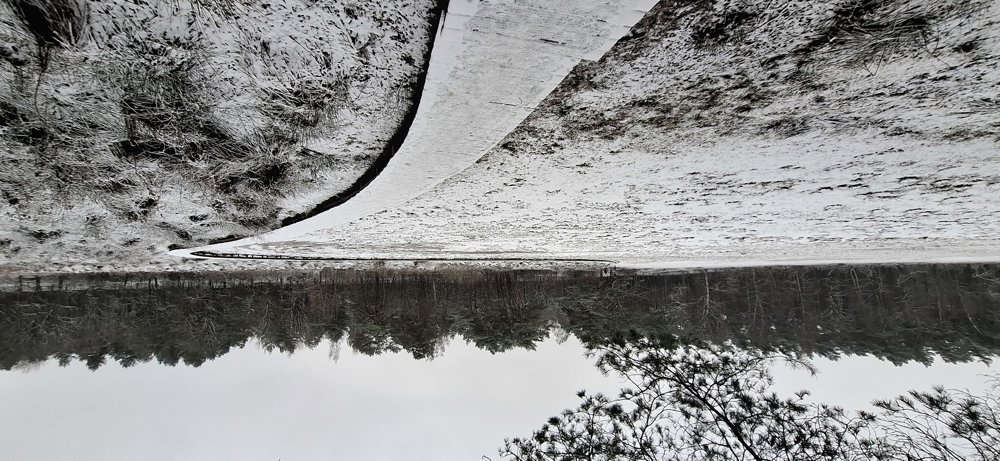
“Winter Walk”, a hike organized by the walking club “De Kampse Wandelaars”.
Beautiful route through the Gerheser forests, well signposted. This walk is, of course, no longer signposted after the walking day, but I think it's worth putting on the walking site. Plenty of forests, so the paths are passable everywhere.
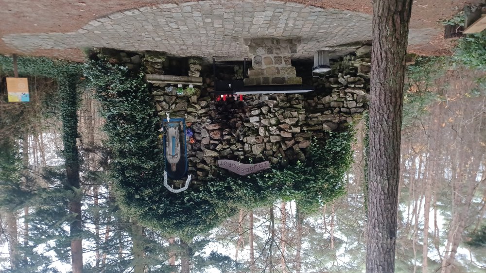
Rest bench(es): including at 2.2 (Lourdes cave)/2.7/6.9/7.8 km.
Sights: Lourdes cave (slight deviation from the route).
Catering: Cafeteria De Merel (swimming pool) after 9 km.
automatic translation


 Upgrade to Premium Plus
