
 Hiking
 Login
Login
 More
More
 EN
EN
 Premium
The Bessemer Walk
automatic translation
12.3 km • Zutendaal
2.5327 0 0/5

 Addresse starting point (approximate)
Gijzenveldstraat 2, 3690 Zutendaal, BE
 signage
The route is not signposted. Use a GPS device or our app to follow the route.
 Description
We depart from the thrift store of the hamlet De Bessemer, literally a borderline case between Zutendaal and Lanaken.
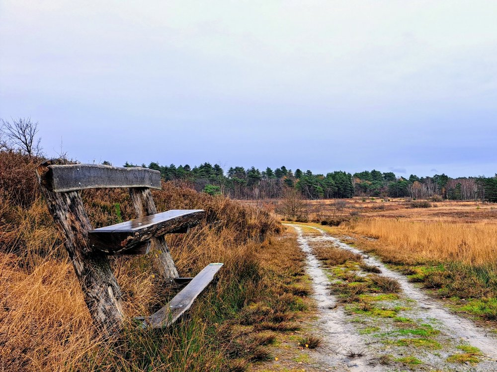
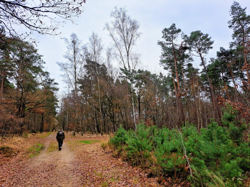
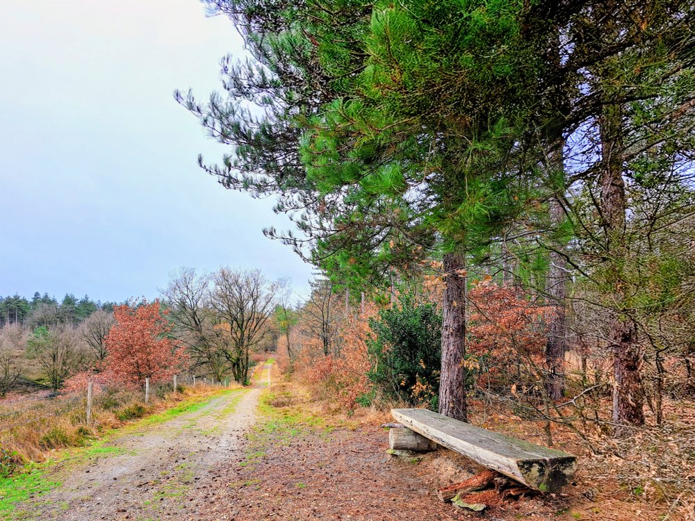
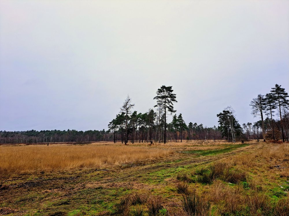
From the parking lot, you immediately walk into the silence. The Pietersembos embraces you with tall pines and old deciduous trees, where the light, filtered through the canopy, falls on the path. A little later, the landscape opens up to the Neerharerheide: a vast, gently rolling area where heath, grass, and wind play the leading roles, and the horizon suddenly gains space.
The real surprise follows in the Ziepbeek valley. The path descends to a cool, green stream valley where water gently meanders between marsh plants, grasslands, and hedgerows. Small bridges, wet zones, and vistas make this the most dynamic part of the journey.
This walk combines in a few kilometers everything that makes the northeast of Limburg so special: elevation changes, variety, and pure nature, a journey that invites you to slow down and observe.
Along the way, there are beautiful photo spots, especially the Groote Zitbank :-)
automatic translation



 Upgrade to Premium Plus


