
 Hiking
 Login
Login
 More
More
 EN
EN
 Premium
Nature Reserve Demerbroeken
automatic translation
7.9 km • Scherpenheuvel-Zichem
3.3824 1 0.5/5

 Addresse starting point (approximate)
Ernest Claesstraat 84A, 3271 Zichem, BE
 signage
The route is partially signposted with nodes. Use a GPS device or our app to follow the route.
 Description
Hiked on 1/3/2026
Parking: NMBS Zichem, Ernest Claesstraat.
Distance hiked according to GPS: 7.86 km.
Signage: Junction points/GPS/Hiking App.
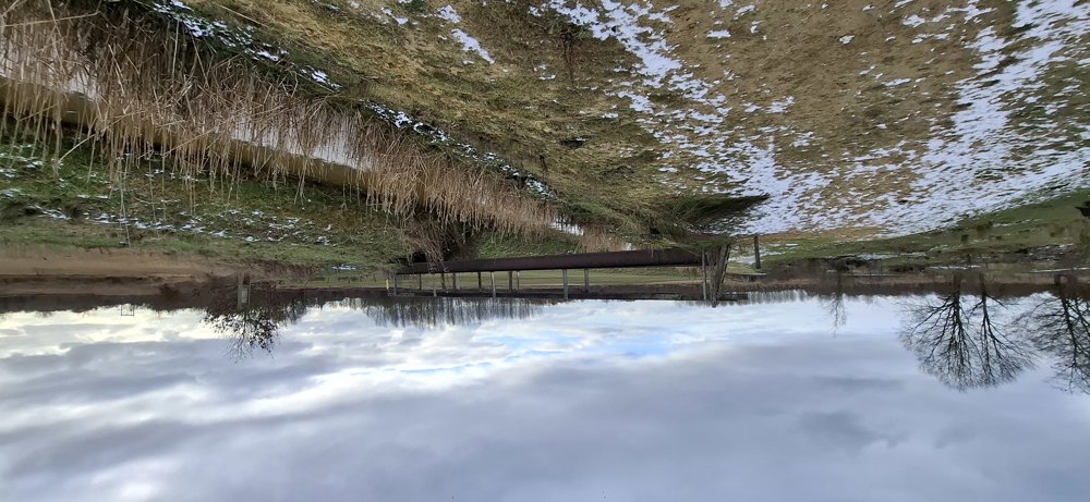
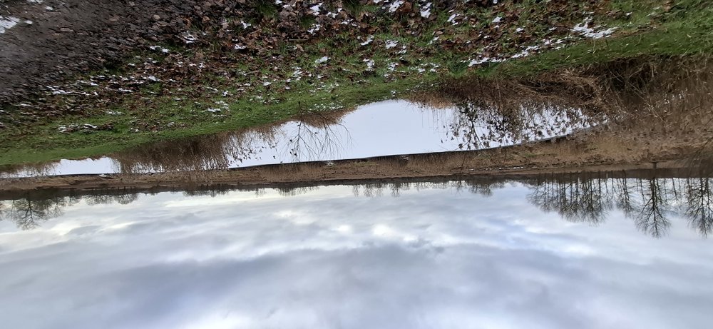
We depart to the right of the railway towards the Demerbroeken. It can be muddy, so good hiking boots are a must. After 2.3 km, you go up the 'Voortberg'. Climbing and descending in this beautiful piece of nature. At the bottom of the hill, you cross the railway line and pass Testelt.
Subsequently, you walk a stretch along the Demer. From here, it continues over unpaved roads to the parking.
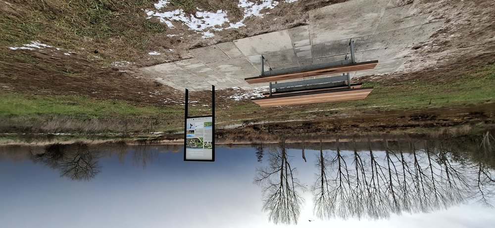
Bench(es): among others at 2.1/4/6.1 km.
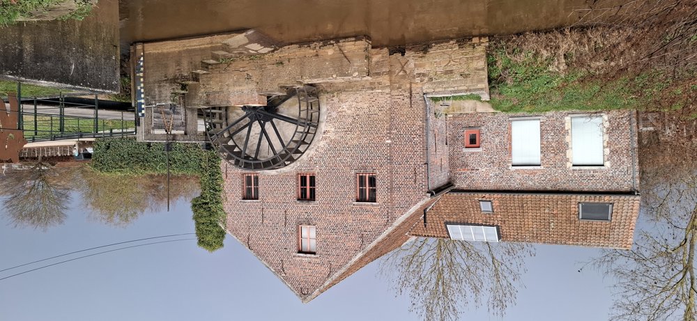
Attractions: Watermill.
automatic translation
 nodes to follow
0 km

0.1 km
0.9 km
2 km
2.2 km
3.4 km
3.7 km
3.9 km
4 km
5.6 km
5.8 km
6.9 km
7.4 km
7.7 km
7.8 km
7.8 km

7.9 km



 Upgrade to Premium Plus


