
 Hiking
 Login
Login
 More
More
 EN
EN
 Premium
Nature Reserve Webbekomsbroek
automatic translation
8.6 km • Diest
2.1104 1 4/5

 Addresse starting point (approximate)
Pesthuizenstraat 2, 3290 Diest, BE
 signage
The route is fully signposted with nodes.
 Description
Walked on 30/12/2025
Parking: Provincial Recreation Domain “De Halve Maan” in Diest.
Distance walked according to GPS: 9.14 km.
Signposting: Route points/GPS/Hiking App.
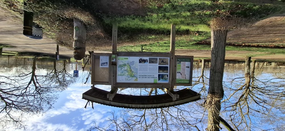
Walk towards the visitor center for the start of the smallest loop of 3.5 km. This goes entirely through the Webbekomsbroek. After a wet period, definitely wear good waterproof hiking shoes because there are then quite muddy sections.
Once back at point 9, you begin the larger tour and walk towards the recreation domain. The paths are easily accessible up to point 91. This section is also in the small loop, but now you walk in the other direction. A beautiful piece of nature to walk through.
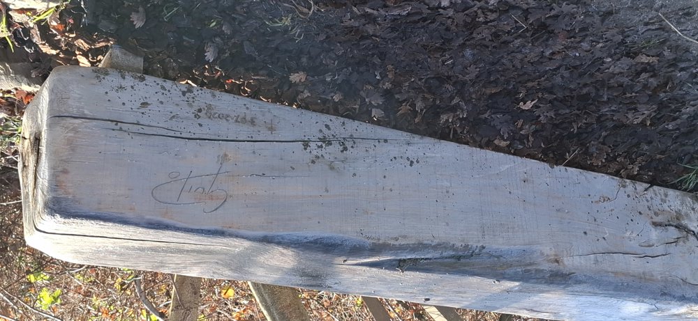
Bench(es): among others at 2.3 km (bench in memory of Guido Reymen) / 3.5 km / 4 km / 6 km and 7.9 km.
automatic translation
 nodes to follow
0 km
0.3 km
1.6 km
1.6 km
2.9 km
3.1 km
3.6 km
4.1 km
4.4 km
5.6 km
7 km
8.2 km

8.6 km
Sunday, February 8, 2026 by Kris DehamersPlenty of parking available at the Halve Maan recreation area. You walk around the Webbekomsbroek (a small section through it) and along the ramparts. A few viewing platforms. A short, beautiful walk. Have a drink at the beautiful Begijnhof or in Webbekom. A nice introduction to the wetlands of Diest.
automatic translation



 Upgrade to Premium Plus


