 Hiking
 Login
Login
 More
More
 EN
EN
 Premium
Peelsche Heide Nature Reserve
automatic translation
11.1 km • Reusel-De Mierden
1.4071 0 0/5

 Addresse starting point (approximate)
Burg. Willekenslaan 2, 5541 NA Buitengebied ten zuiden van Reusel, NL
 signage
The route is fully signposted with nodes.
 Description
Walked on 31/12/2025
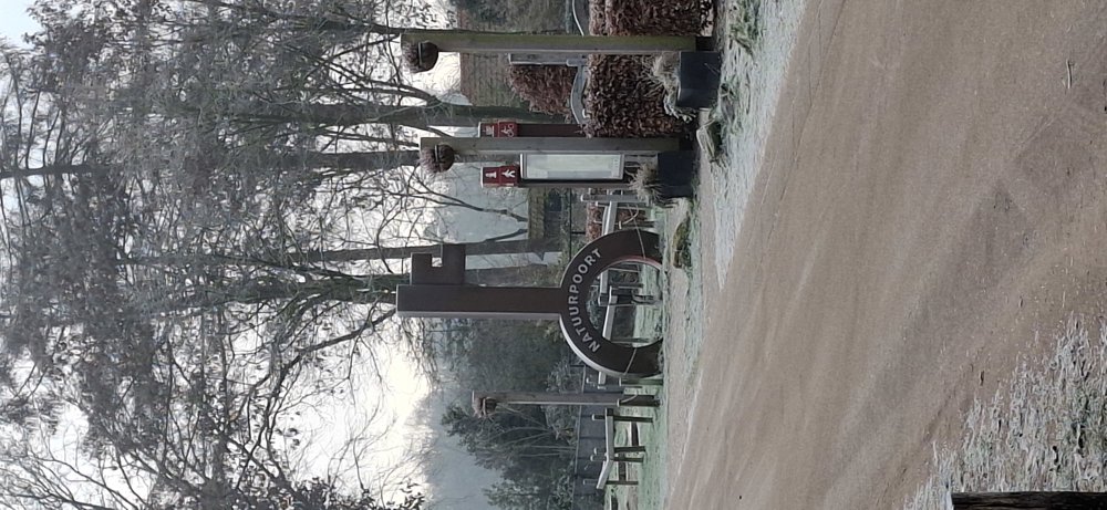
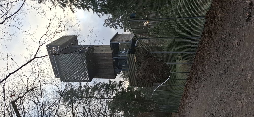
Parking: Natuurpoort De Brandtoren, Burgemeester Willekenslaan 4 in Reusel (NL).
Distance walked according to GPS: 11 km.
Signage: Junction points/GPS/Hiking App.
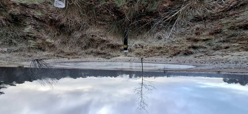
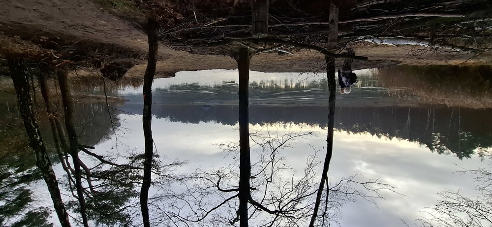
Departed at -5°C, so not too warm, but that also has its charm, like the frozen Kroonven after 2.8 km, a beautiful piece of nature. The entire walk goes through forest and heath areas except for the section through Bladel (Egypt). You also pass 't Neerven, the largest fen of the walk. Beautiful walk and it is just over the border with Postel, definitely worth doing.
These are Dutch junction points, yellow triangle on a green background.
Rest bench(es): among others at 1.5/4.2/5.8 and 9.1 km.
automatic translation
 nodes to follow
0 km
0.1 km
1.4 km
2.7 km
3.2 km
3.8 km
4.2 km
5.2 km
5.6 km
6 km
8.5 km
9.4 km
9.8 km
10 km
11 km

11.1 km


 Upgrade to Premium Plus
