 Hiking
 Login
Login
 More
More
 EN
EN
 Premium
Round through the woods
automatic translation
8.8 km • Genk
2.4103 0 0/5

 Addresse starting point (approximate)
Kattevennen 6A, 3600 Genk, BE
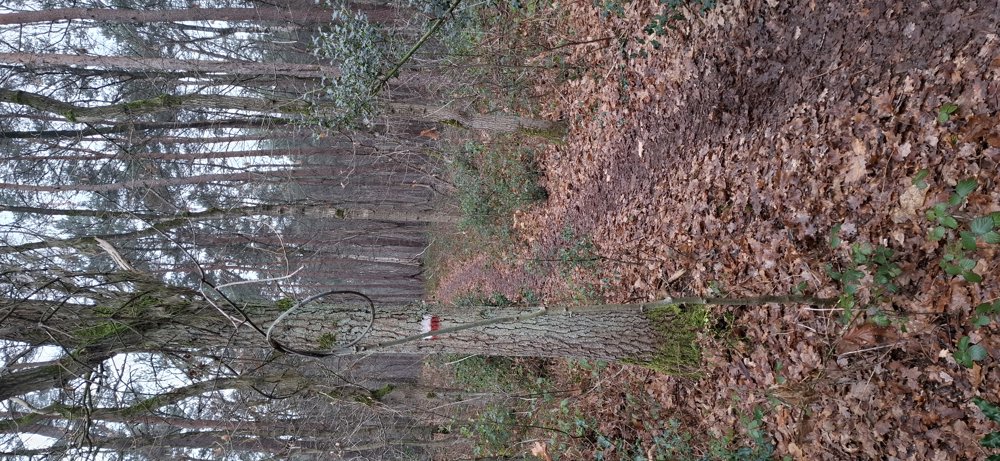
 signage
The route is not signposted. Use a GPS device or our app to follow the route.
 Description
Parking: Football field VV Genk, Kattevennen.
Distance walked according to GPS: 8.76 km.
Signage: GPS/Walking App.
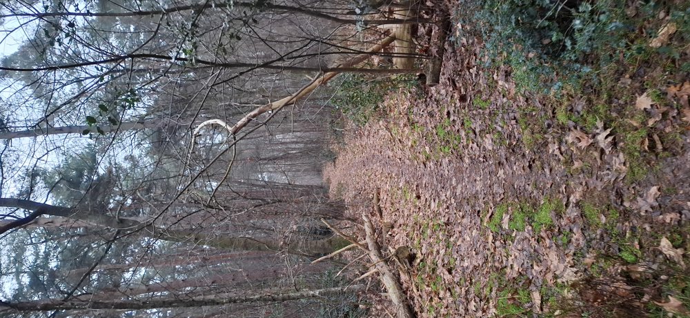
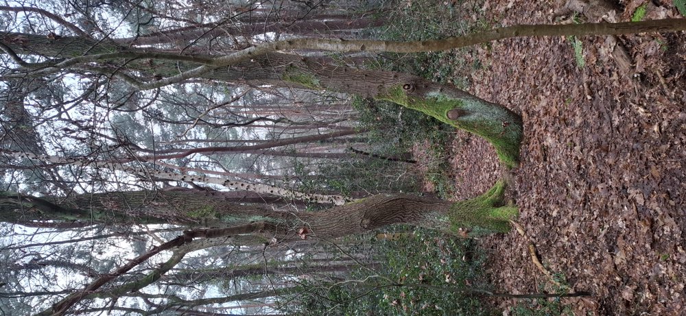
This self-planned walk mainly goes through the forests in Genk. After 1.3 km, you follow a section of the GR5 up to km 4.3. After crossing the N750 for the first time, you soon enter the 'Zillebos'. Be very careful here, as there are numerous paths. The next forest you cross is the 'Schiepsebos', and you walk around the hospital (ZOL). Cross the N750 again and you are back at the parking lot.
Walk through a lot of greenery.
Rest bench(es): e.g., at 4.8 km.
automatic translation


 Upgrade to Premium Plus
