 Hiking
 Login
Login
 More
More
 EN
EN
 Premium
Orval Trappist Walk
automatic translation
8.2 km • Hamont-Achel
2.0541 0 0/5

 Addresse starting point (approximate)
Michielsplein 26, 3930 Sint-Huibrechts-Lille, BE
 signage
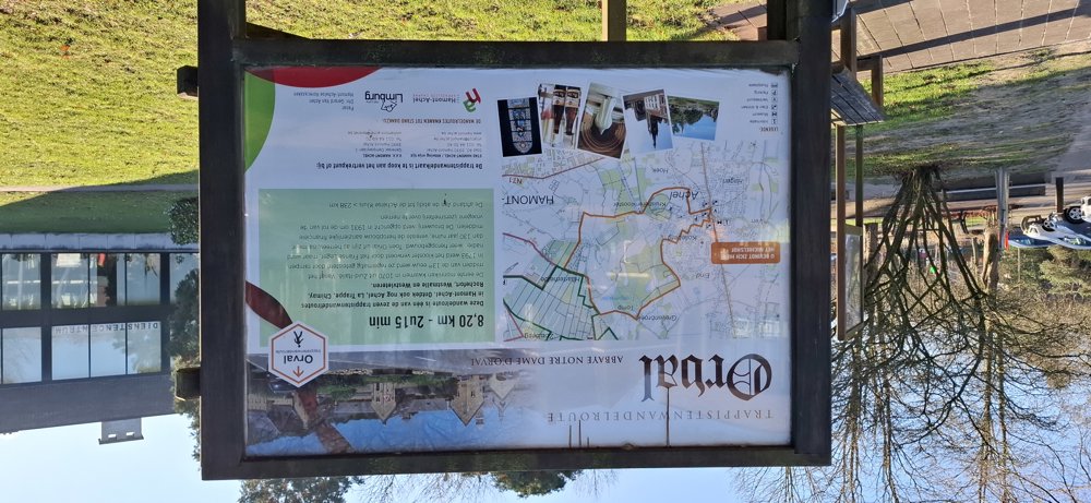
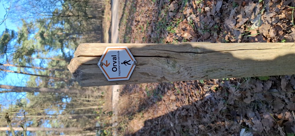
The route is fully signposted with thematic signs (no nodes).
 Description
Parking: Michielsplein in Achel.
Distance walked according to GPS: 7.97 km.
Signage: hexagonal signs or GPS/Walking App.
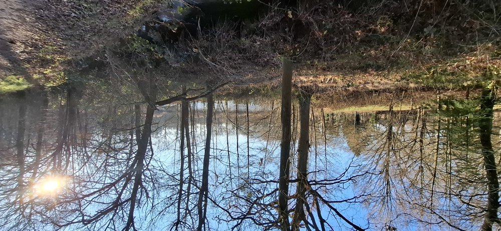
This marked walk can be taken in 2 directions. Just follow the signs with “Orval Trappistenwandeling”, the entire route is very well signposted. At the start and end, you walk through built-up areas, but the rest of the walk mainly goes through the woods. Beautiful walk.
Rest benches: among others at 2/3,4/4,8/5,5 and 6.5 km.
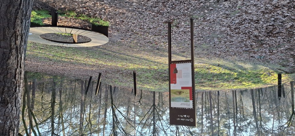
Sights: Burial mounds/De Waag ruins/De Tomp (historic tower).
automatic translation
 nodes to follow
0 km

0 km
0.1 km
0.2 km
0.3 km
0.3 km
0.3 km
0.7 km
1 km
1.6 km
1.9 km
1.9 km
2 km
2.4 km
2.6 km
2.9 km
3.3 km
3.9 km
4.2 km
4.7 km
5.3 km
5.6 km
6.3 km
7.2 km
8 km
8.1 km

8.1 km


 Upgrade to Premium Plus
