 Hiking
 Login
Login
 More
More
 EN
EN
 Premium
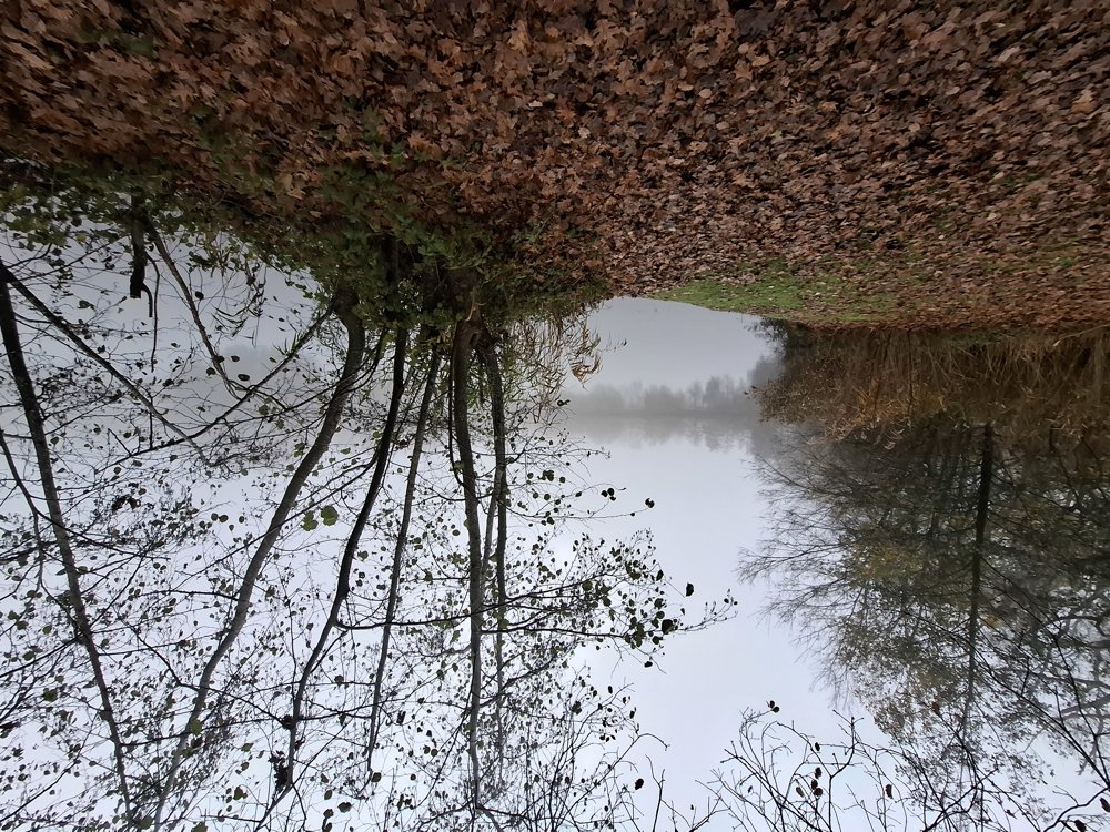
Dekshoeve Pond
automatic translation
9.5 km • Geel
1.8002 0 0/5

 Addresse starting point (approximate)
Fransebaan, 2440 Geel, BE
 signage
The route is partially signposted with nodes. Use a GPS device or our app to follow the route.
 Description
Parking: Dekshoevevijver Fransebaan, Geel.
Distance walked according to GPS: 9.2 km.
Signage: Walking junctions/GPS/Walking App.
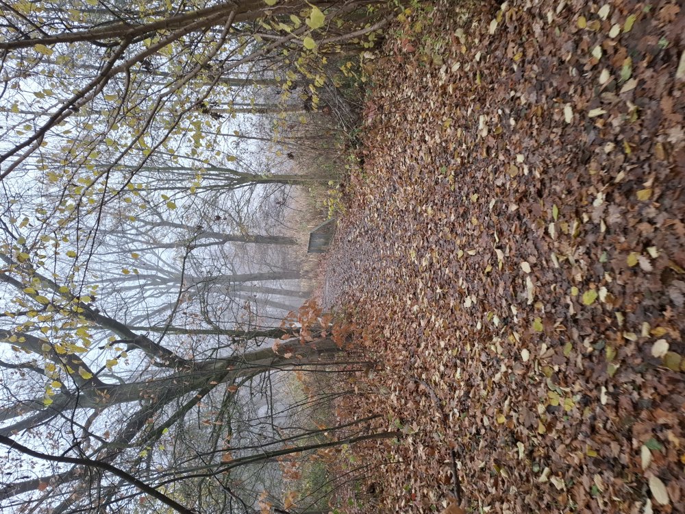
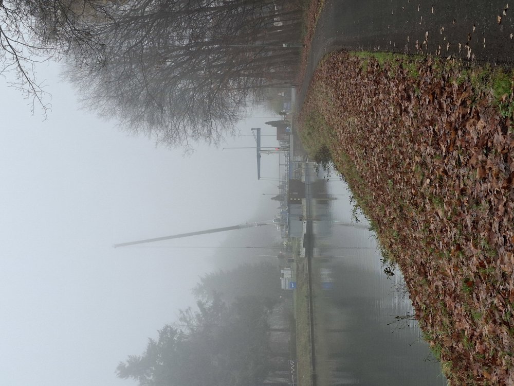
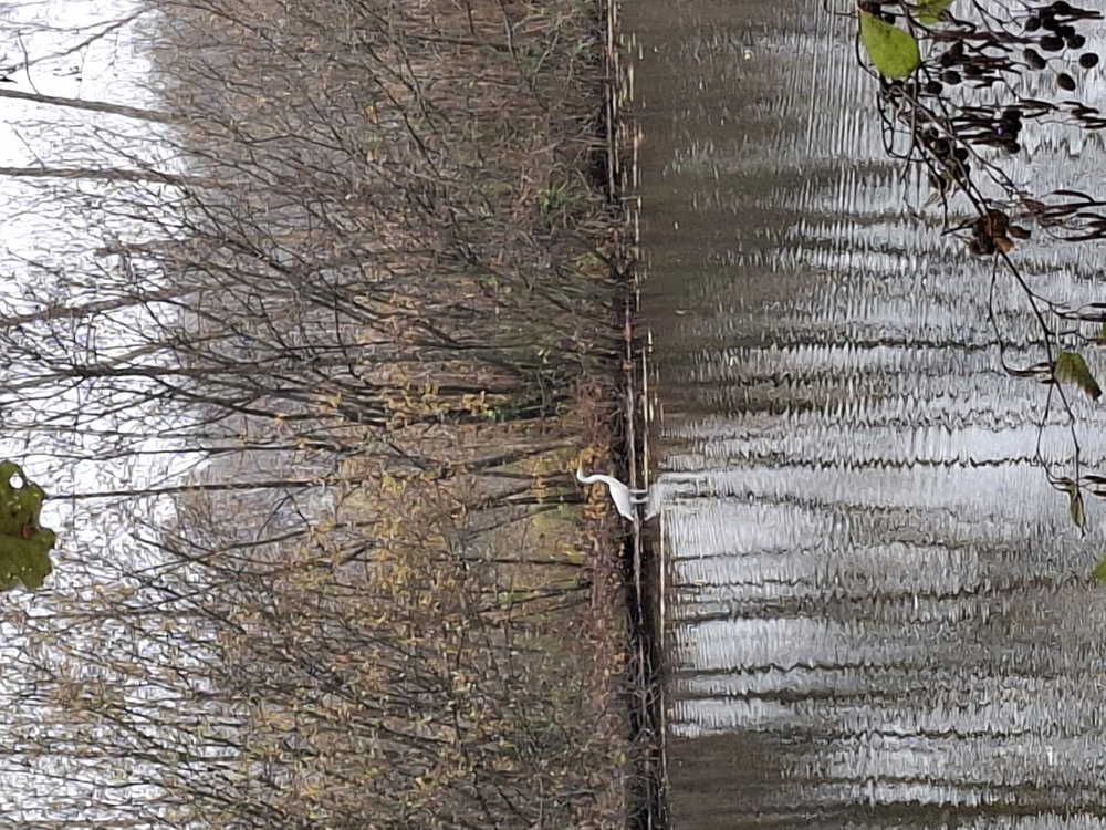
Mix of junctions and self-planned route. First, you walk along the wide, easily accessible path along the beautiful Dekshoevevijver towards the Bocholt-Herentals canal. From the canal, it is 2 km on paved paths/roads. Then, you dive into the forest for 2.3 km, and you need to walk another 500 m along the Castelsebaan.
Next, you go through the woods by the European school and further along the unpaved Rendersvensedijk towards the Dekshoevevijver, where you complete the last part by the pond again.
Except for the piece along the Castelsebaan, it is a peaceful walk.
Resting bench(es): among others, after 0.6 km.
Catering: Sas 7
automatic translation
 nodes to follow
0 km

0.6 km
1 km
1.9 km
2.2 km
3 km
3.4 km
3.7 km
4.3 km
4.7 km
5.2 km
6.5 km
7 km
7.4 km
8.3 km
9.1 km

9.5 km


 Upgrade to Premium Plus
