Loading...

To the Convent Pond and Langven.

automatic translation

8.1 km • Scherpenheuvel-Zichem

1.4973 1 5/5

8.1 km 0.0 km 0.0 km

route offered by

Jan Theunis

Icon starting point Addresse starting point (approximate)

Herseltsebaan 2, 3271 Scherpenheuvel-Zichem, BE

Icon type signage of route signage

The route is fully signposted with nodes.

5m 5m 5m 5m
Atmosphere image 1 of route To the Convent Pond and Langven. Atmosphere image 2 of route To the Convent Pond and Langven. Atmosphere image 3 of route To the Convent Pond and Langven.
© Jan Theunis

Icon description route Description

Parking: Averbode Abbey, Herseltsebaan. (Parking disc required)

Distance walked according to GPS: 7.98 km.

Signposting: Walking junctions/GPS/Walking App.

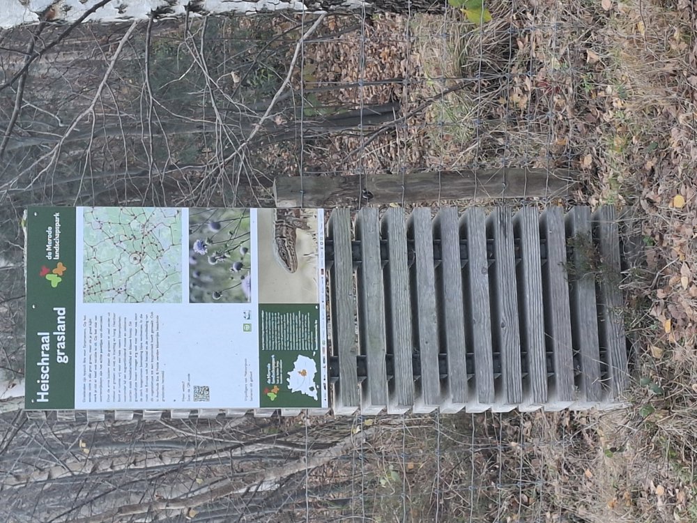
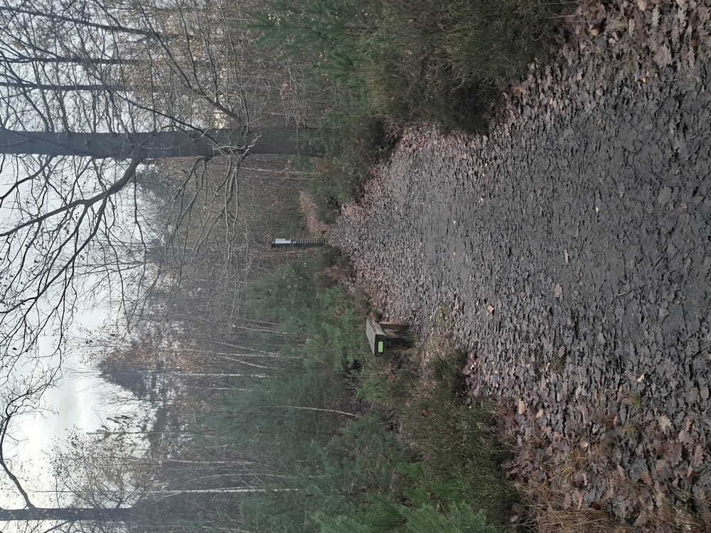
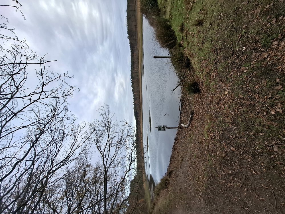
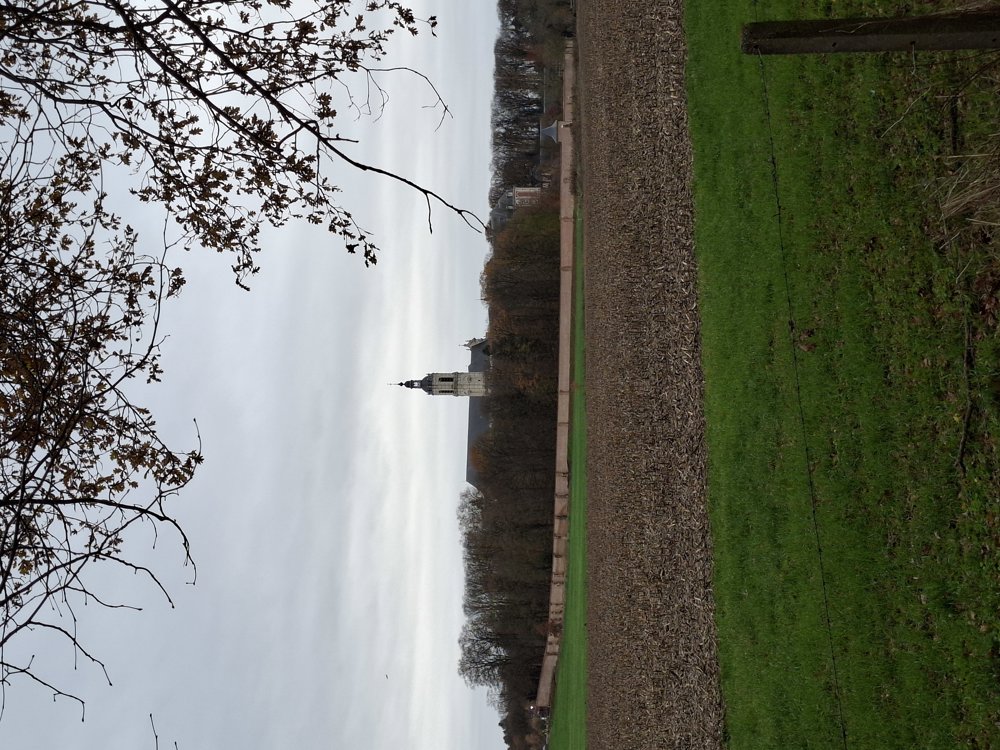
Walk through heath and forest in the Merode woods. First, you head towards the Conventsvijver, and after a lap around this pond, you go to the beautiful Langven. From then on, it's mainly through the forests, at junction 84 you have a stunning view of Averbode Abbey and a bit further you pass the Clog Museum. After crossing the Herseltsebaan, another beautiful stretch of forest with an abundance of ferns follows.

Bench(es): including after 0.9/4.4 and 7.1 km.

Sights: Averbode Abbey and the Clog Museum.

automatic translation

Icon nodes to follow nodes to follow

Icon start route
0 km
Icon deviation route
0.6 km
Image node 101
1.2 km
Image node 102
1.8 km
Image node 285
2.2 km
Image node 101
2.4 km
Image node 281
2.6 km
Image node 322
3.3 km
Image node 248
4 km
Image node 251
4.3 km
Image node 81
5 km
Image node 79
5.8 km
Image node 84
6.3 km
Image node 279
7.1 km
Image node 294
7.1 km
Image node 96
7.6 km
Image node 293
7.8 km
Icon deviation route
7.9 km
Icon deviation route
8.1 km
Icon stop route
8.1 km
This route has 1 review(s).
Rate route!

Saturday, May 9, 2026 by David Brockenabsolutely beautiful, on a sunny day in May 2026
automatic translation

Which POI do you want to show on the map?

Experimental hiking network
Unsigned icon

The route you have chosen runs (partly) along an experimental virtual hiking node network (the blue-coloured nodes and sections on the map).

You must be logged in to plan routes here.

Experimental hiking network
Unsigned icon

The route you have chosen runs (partly) along an experimental virtual hiking node network (the blue-coloured nodes and sections on the map).

These routes are not controlled in the field. Before you start hiking here, take a minute to read what an experimental hiking node network is and what rules you should follow when hiking here.