 Hiking
 Login
Login
 More
More
 EN
EN
 Premium
Nature Reserve Webbekomsbroek
automatic translation
7.3 km • Halen
1.2641 0 0/5

 Addresse starting point (approximate)
Van Zurpeledijk 11, 3545 Halen, BE
 signage
The route is fully signposted with nodes.
 Description
Parking: Parking Dancing Astrid, Van Zurpeledijk 9 in Halen.
Signage: Walking junctions/GPS/Walking App.
Distance walked according to GPS: 7.30 km.
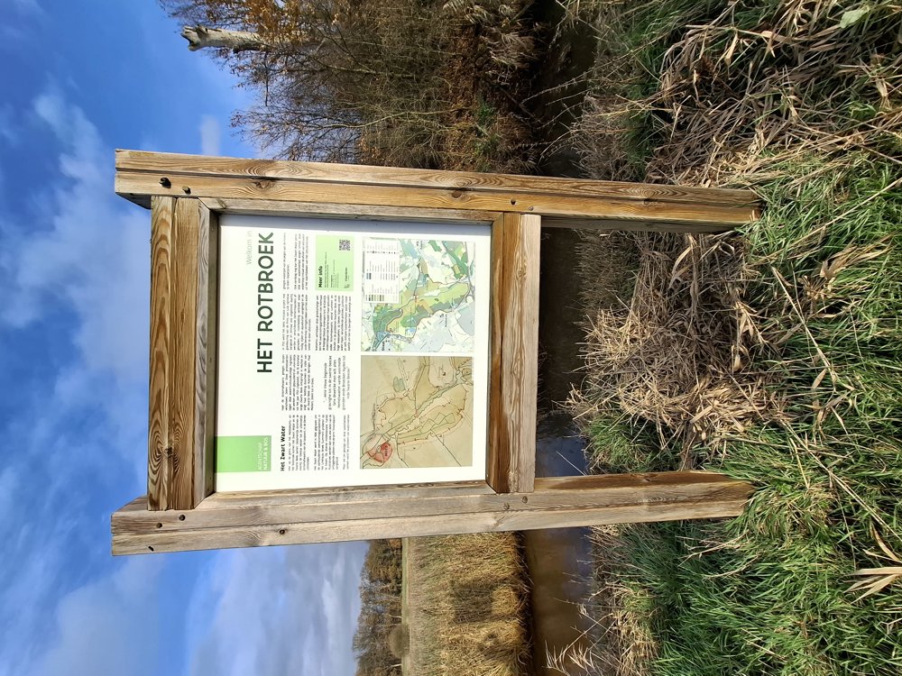
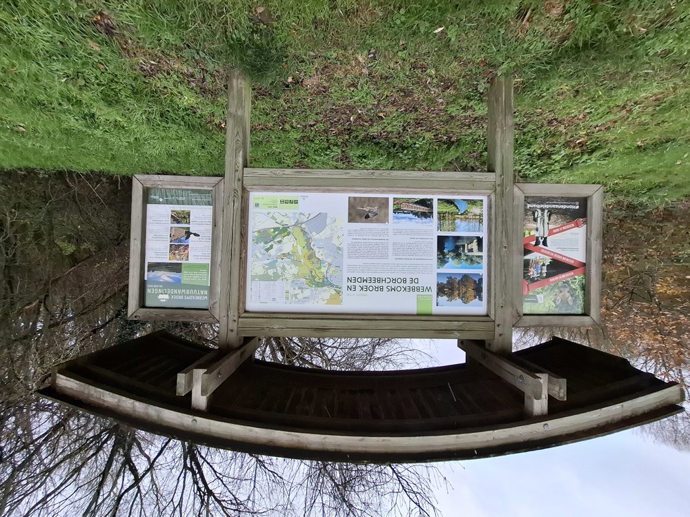
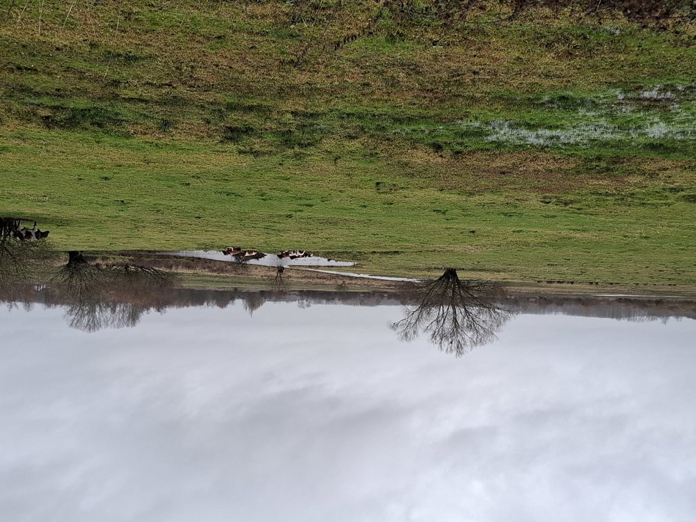
Cross the street and 200 m further you arrive at junction 92. The first 2 km go through Rotbroek until you pass the large information board of Webbekomsbroek. From here, walk first 1.2 km over an asphalt road (only for cyclists and pedestrians) to the pond. Here we saw at a distance of 200 m first a buzzard at a few meters, further a jay in the tree and finally 2 storks.
After Webbekomsbroek, you walk a bit through Diestersbroek and then you return to Rotbroek. In some places, it can be a bit muddy after a rain shower. Beautiful walk.
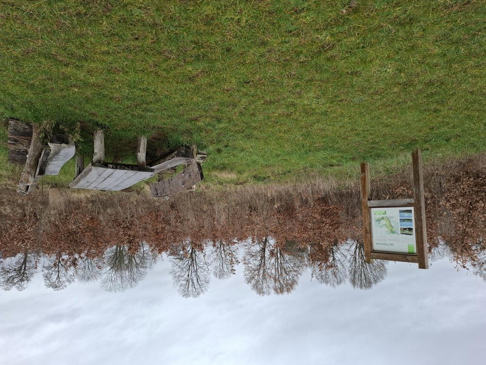
Bench(es): among others after 2.5/3.9 and 4.6 km.
Sightseeing: With some luck, storks.
automatic translation
 nodes to follow
0 km

0.1 km
0.2 km
3.2 km
4 km
5.3 km
5.4 km
7.2 km

7.3 km


 Upgrade to Premium Plus
