 Hiking
 Login
Login
 More
More
 EN
EN
 Premium
Bois Hoyaux and the surrounding fields
automatic translation
10.5 km • Binche
1.4162 0 0/5

 Addresse starting point (approximate)
Rue de Belle-Vau 31, 7134 Bois Hoyaux, BE
 signage
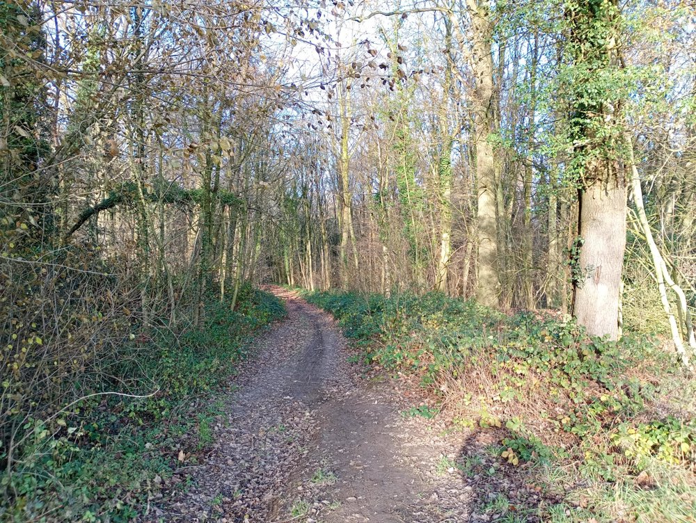
The route is not signposted. Use a GPS device or our app to follow the route.
 Description
Departure: cemetery parking Epinois - rue de Belle Vau 35 - 7134 Binche
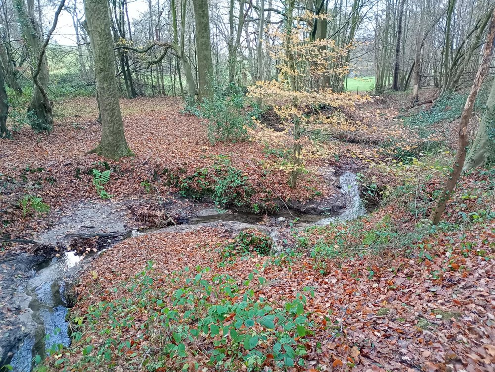
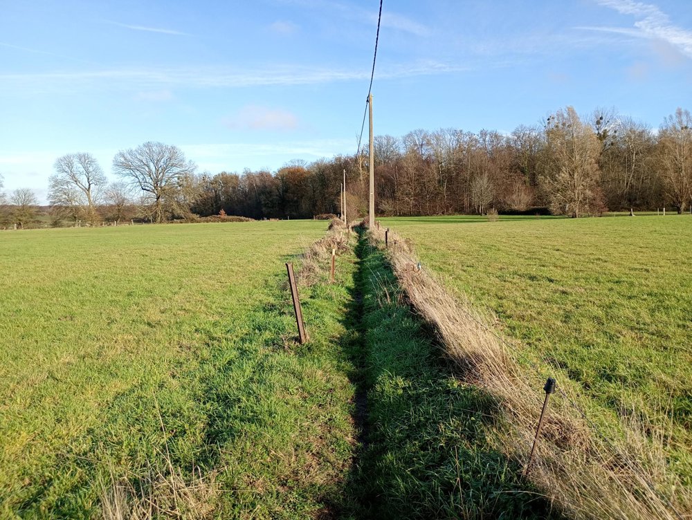
A walk for true adventurers. This hike is for walkers who are not afraid of dirty clothes or wet feet. The forest area we traverse is rich in waterways, streams, and... mud! The paths can be very muddy and are not always clearly marked. The area is rarely walked, which adds to the peace and charm of this place. The walk is a mix of forest and vast agricultural fields.
In the autumn, hunting takes place regularly in these woods. Check in advance via https://partageonslaforet.be/ to know if certain parts of the forest are temporarily closed.
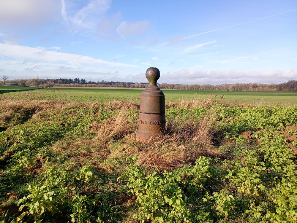
On the way, we also pass 'au Planty', where there is a geodetic point - the marking of the highest point of the Belgian Pyrenees. This marking is actually an old cannon barrel from the Napoleonic era. The height is 212.24 meters.
automatic translation


 Upgrade to Premium Plus
