 Hiking
 Login
Login
 More
More
 EN
EN
 Premium
Harry Haighwandeling
9 km • Affligem
 official route
3.8245 6 3.1/5
route offered by
 Addresse starting point (approximate)
Parking, Rozenlaan, 1790 Teralfene
 signage
The route is signposted with thematic signs (no nodes). You can use a GPS device or our app to follow the route through the virtual nodes.
 Description
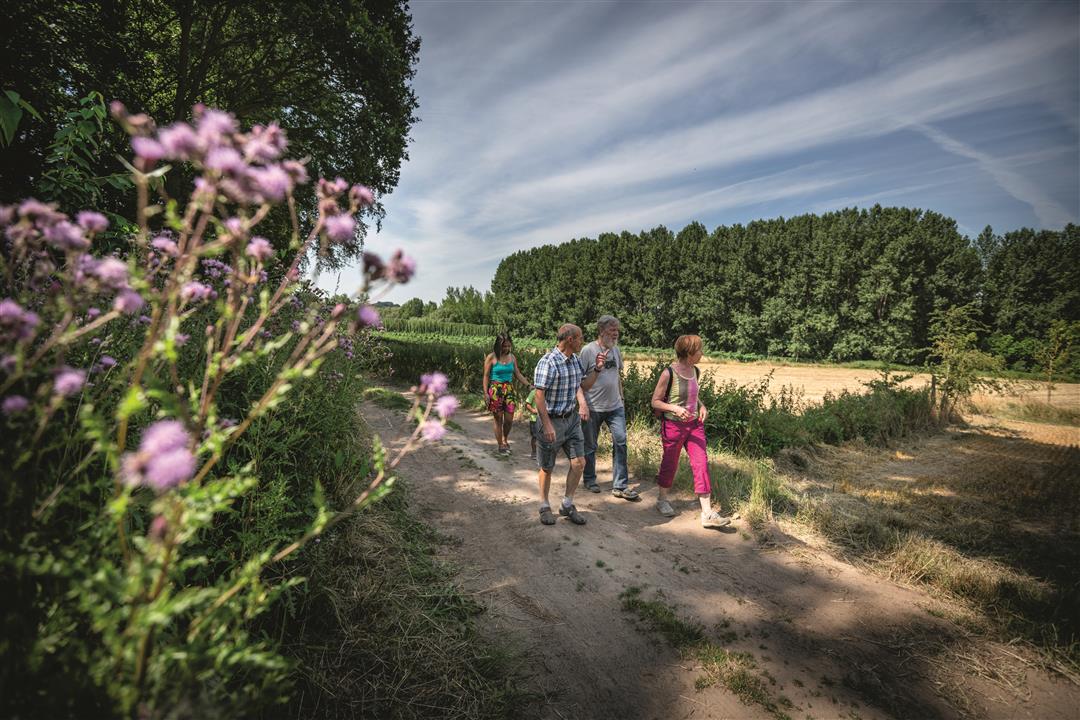
The fighting was fierce on the night of May 18–19, 1940, but it was all in vain. The “Battle of the Dender” failed to halt the German advance. On this walk, you’ll follow in the footsteps of Harry Haigh, a 19-year-old British soldier from Huddersfield who died heroically in Teralfene. You’ll walk past bomb craters and war graves along the banks of the Dender.
automatic translation
 nodes to follow
0 km
0.2 km
0.3 km
1.2 km
1.2 km
1.3 km
1.7 km
2.9 km
3 km
3.8 km
4.8 km
5.4 km
6.5 km
7.4 km
8 km
8.9 km
Tuesday, March 29, 2022 by Arlette VercammenClose to the highway and so a lot of noise. Once you get further and go through trails and winding roads it is very beautiful. Had doubts at the bridge (should I be in front or behind the bridge on the left) before! There could have been another sign there. I was glad to have the written out route with me, so I saw the 2 war graves and the call stone at the church.
automatic translation
Thursday, August 26, 2021 by F.L.nice walk, but a few difficult to recognize paths especially at the end of the walk get lane after den dries in teralfene and the lane behind rantour are not so obvious.
automatic translation
Sunday, January 24, 2021 by R.P.Not recommended. Noisy stretches along E40 and along railroad lines. Little nature and much along a maze of small streets. No mention to Harry Haigh either. Not a good feeling about this walk.
automatic translation
Sunday, October 11, 2020 by Danny Van varenberghWell arrowed and beautiful walk. Due to the rain there is a stretch that does go right through a field. Impossible not to follow the road through the mud. Too bad. We have shortened the route a bit because of that. Recommended.
automatic translation
Sunday, July 12, 2020 by Claude Mia Leemans Van IsterdaelNice walk along small quiet roads, sometimes between crops or behind houses
Along the way we did not actually see any references to this soldier or the war, not even a Lourdes cave
As feedback: at the end at Potaardestraat, the trail is slightly modified; however, this modification is not included in the gpx or the plan
automatic translation
Friday, July 3, 2020 by J.D.this hike I would not really recommend, a bit boring and some very noisy sections (, along the E40 )
automatic translation


 Upgrade to Premium Plus
