 Hiking
 Login
Login
 More
More
 EN
EN
 Premium
To Resterheide
automatic translation
8.9 km • Peer
1.3332 0 0/5

 Addresse starting point (approximate)
Hoogveld 26B, 3990 Peer, BE
 signage
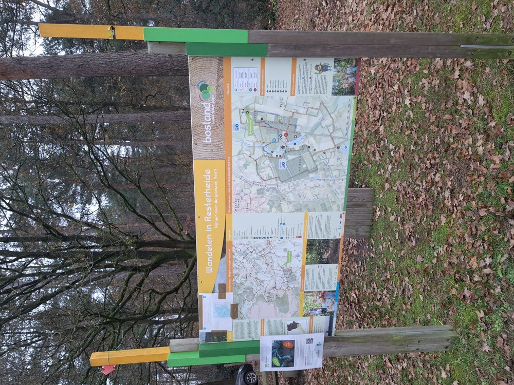
The route is not signposted. Use a GPS device or our app to follow the route.
 Description
Parking: De Wuft, Hoogveld Wijchmaal (Peer).
Signposting: GPS/Hiking App.
This is the 9 km walk organized by the hiking club ‘Wandel Mee Brueghel’.
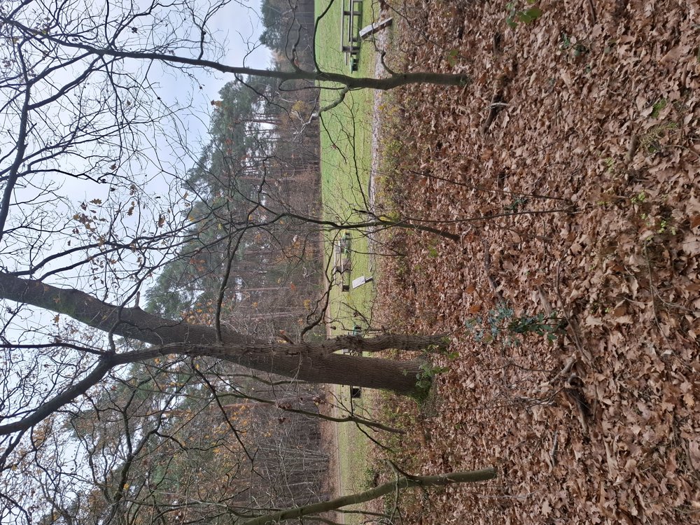
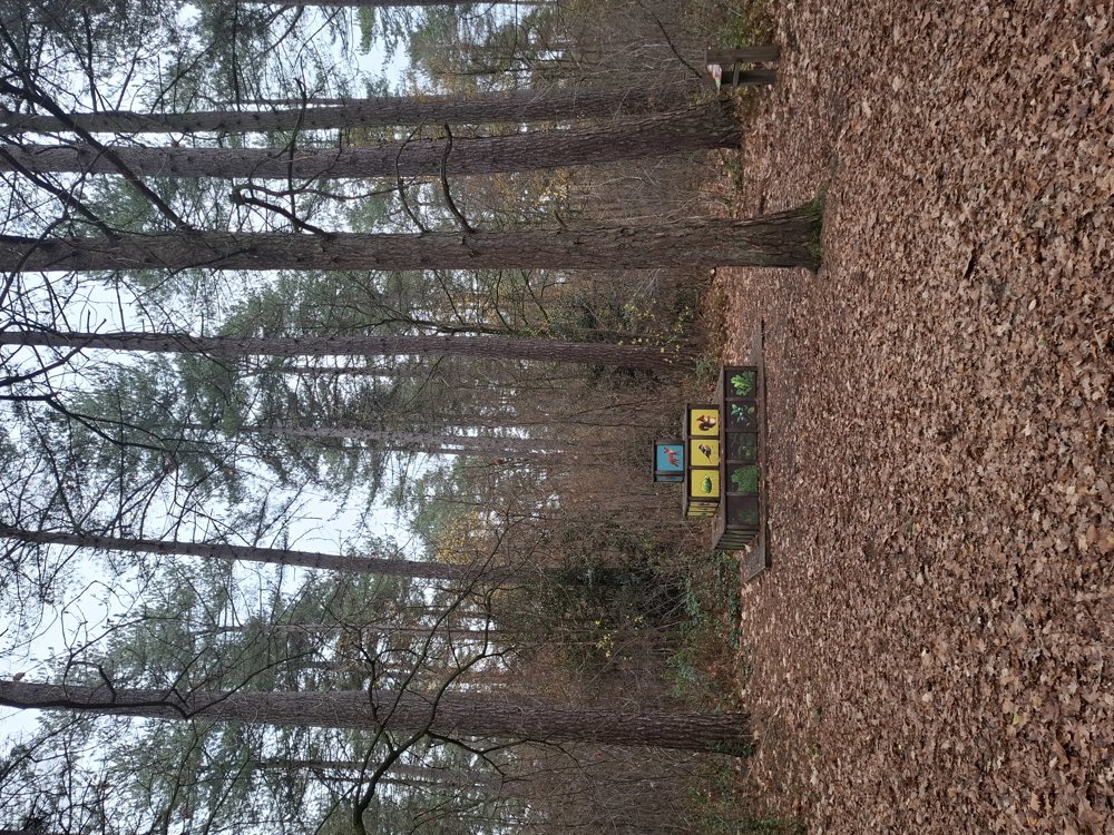
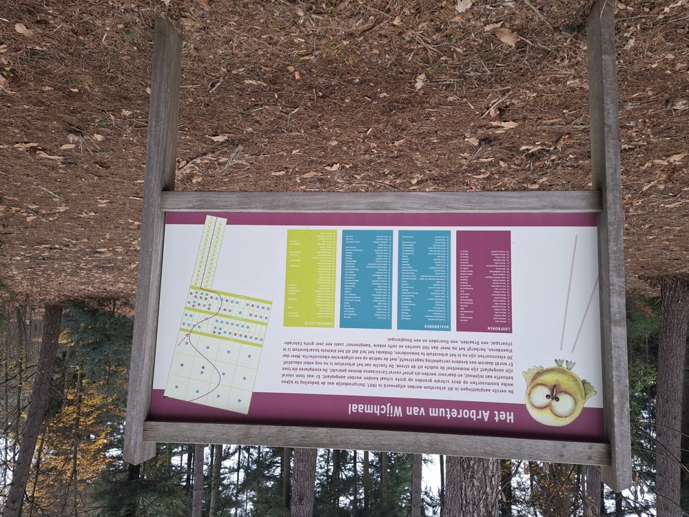
From the start to km 2.3, it goes over paved roads. After crossing the Peerderbaan, you walk a bit further parallel to the cycle path along a field to Resterheide. The section through the Resterheide woods is the most beautiful part of the walk, you also walk through the Wijchmaal Arboretum.
Once past Parking 2 of Resterheide, it continues to the finish over paved, low-traffic roads (except for St.-Trudostraat, where it is busier).
Bench(es): notably at 1.2/3.2/4.6/5.4 and 6.2 km.
automatic translation


 Upgrade to Premium Plus
