Loading...

Through "De Maten" and the Diepenbeker Forest.

automatic translation

7.2 km • Genk

1.1161 0 0/5

7.2 km 0.0 km 0.0 km

route offered by

Jan Theunis

Icon starting point Addresse starting point (approximate)

Kneippstraat 254, 3600 Genkerheide, BE

Icon type signage of route signage

The route is fully signposted with nodes.

5m 5m 5m 5m
Atmosphere image 1 of route Through "De Maten" and the Diepenbeker Forest. Atmosphere image 2 of route Through "De Maten" and the Diepenbeker Forest. Atmosphere image 3 of route Through "De Maten" and the Diepenbeker Forest.
© Jan Theunis

Icon description route Description

Parking: Sports hall "De Kneipp" parking, Kneippstraat Genk.

Distance walked according to GPS: 7.26 km.

Signage: Junctions.

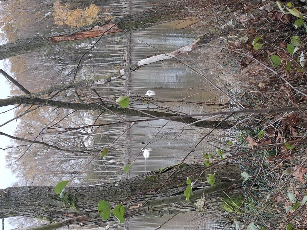
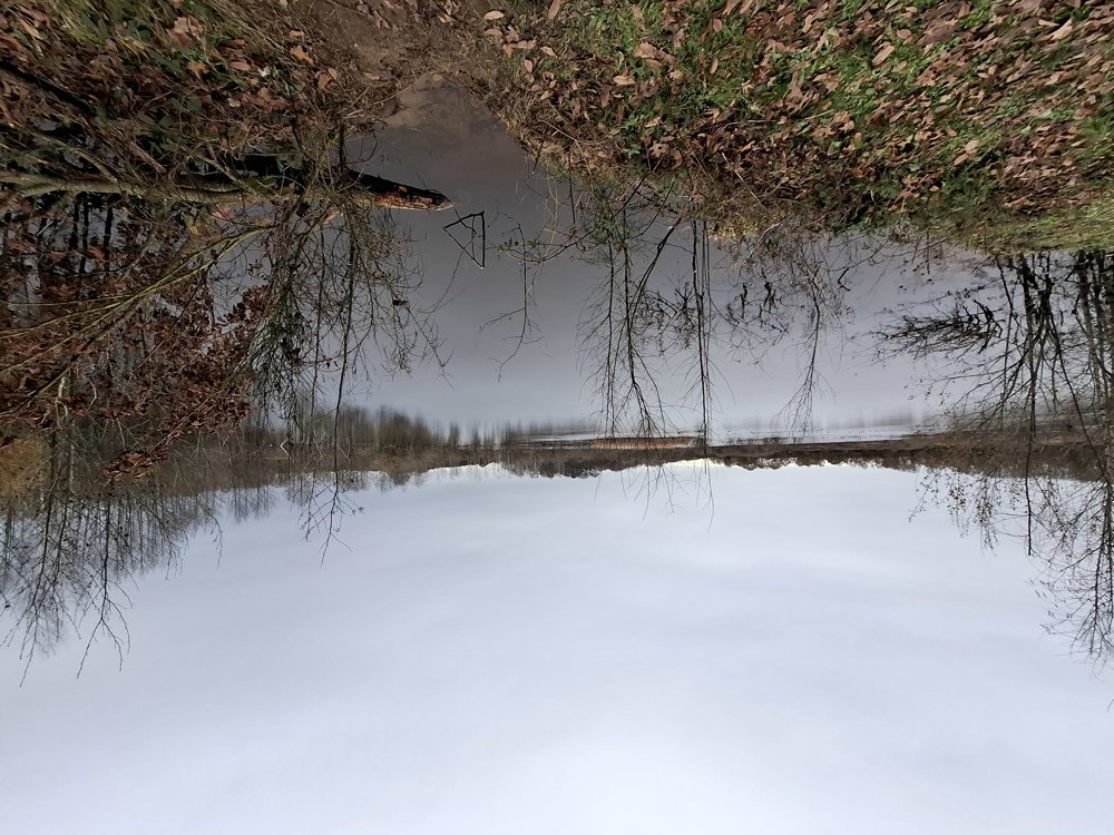
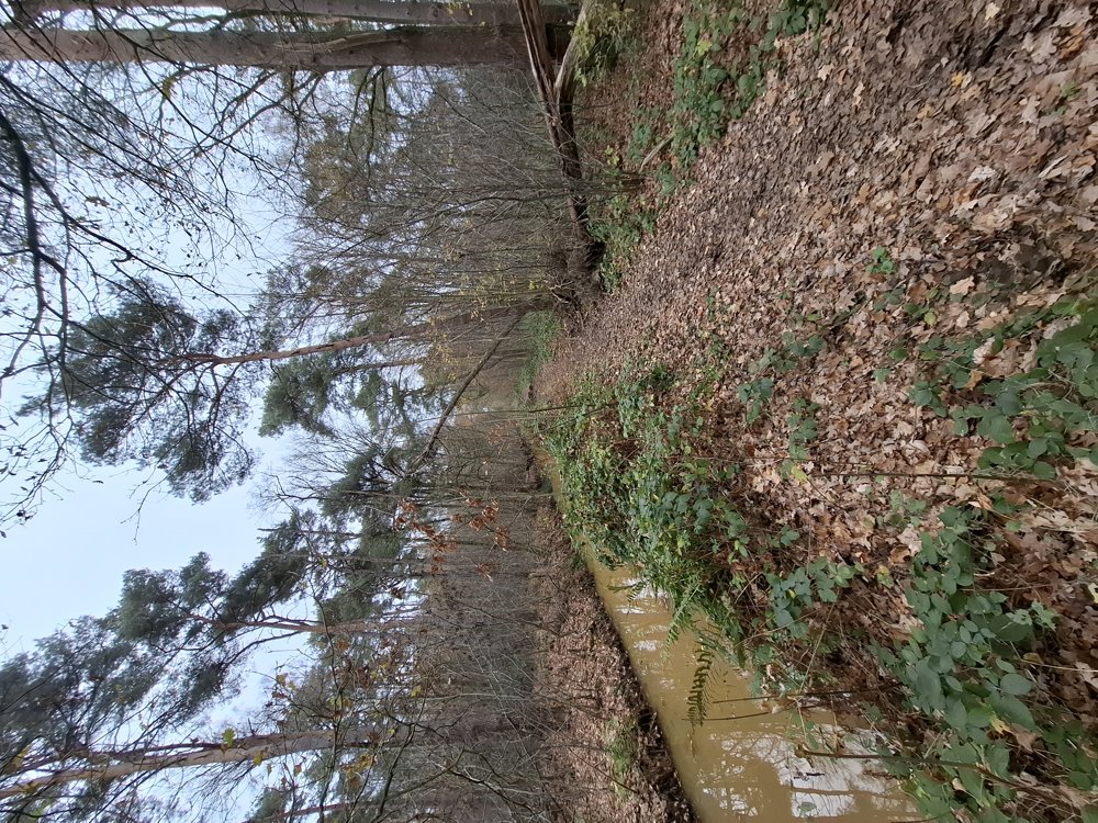
The walk goes mostly through the "De Maten Nature Reserve". Be aware that in wet periods it can be quite muddy/wet in some sections. Therefore, waterproof hiking shoes are a must. It's a walk with beautiful nature parts, first along some ponds, and then through the Diepenbekerbos where you walk a little along the Winter and Stiemer streams. The paved parts are low-traffic.

Benches: none

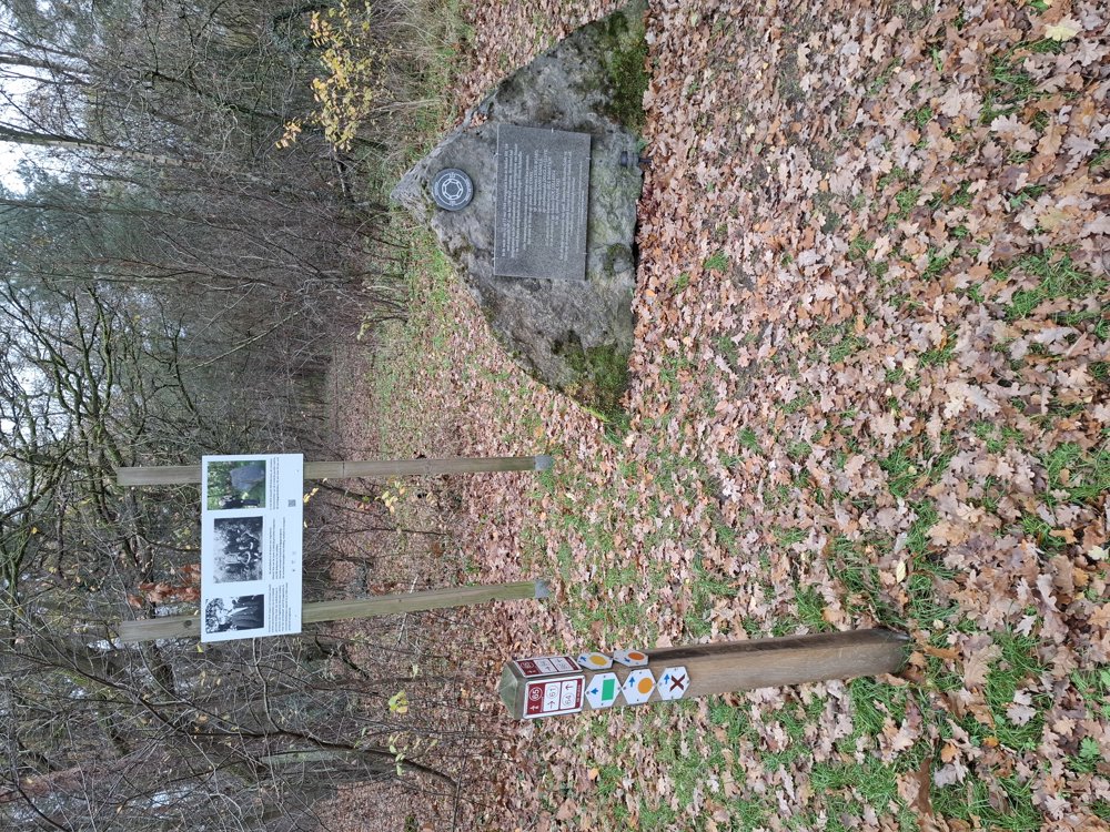
Attractions: ‘Squadron Royal Airforce’ memorial.

automatic translation

Icon nodes to follow nodes to follow

Icon start route
0 km
Icon deviation route
0.1 km
Icon deviation route
0.3 km
Image node 64
0.9 km
Image node 63
1.2 km
Image node 62
2 km
Image node 58
2.8 km
Image node 59
3.4 km
Image node 60
4.4 km
Image node 85
5.1 km
Image node 84
5.4 km
Image node 61
5.9 km
Icon stop route
7.2 km
This route does not have any reviews yet. Be the first!
Rate route!

Which POI do you want to show on the map?

Experimental hiking network
Unsigned icon

The route you have chosen runs (partly) along an experimental virtual hiking node network (the blue-coloured nodes and sections on the map).

You must be logged in to plan routes here.

Experimental hiking network
Unsigned icon

The route you have chosen runs (partly) along an experimental virtual hiking node network (the blue-coloured nodes and sections on the map).

These routes are not controlled in the field. Before you start hiking here, take a minute to read what an experimental hiking node network is and what rules you should follow when hiking here.