
 Hiking
 Login
Login
 More
More
 EN
EN
 Premium
Landscape Walk Rullingen
automatic translation
8.5 km • Tongeren-Borgloon
3.3372 0 0/5

 Addresse starting point (approximate)
Stroopplein 8, 3840 Borgloon, BE
 signage
The route is not signposted. Use a GPS device or our app to follow the route through the virtual nodes.
 Description
Borgloon is located in the middle of the fruit region – and you notice it immediately.
Around the former station square, fruit growers, syrup makers, and train conductors were once bustling with activity. Those who want to discover more about this busy period should visit the fruit experience center in the Syrup Factory.
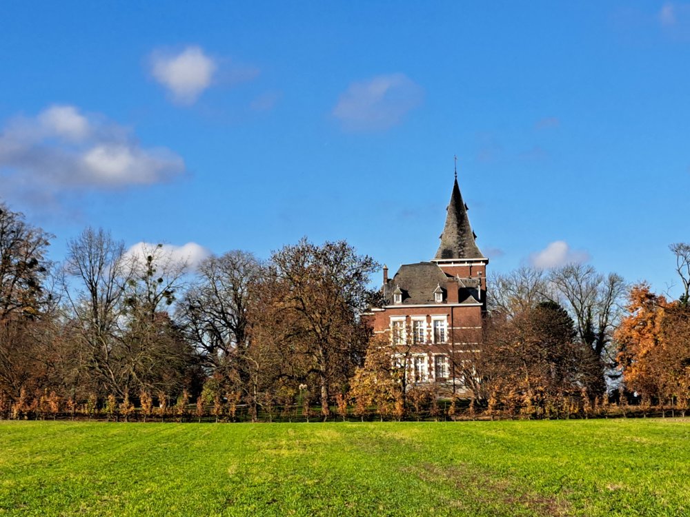
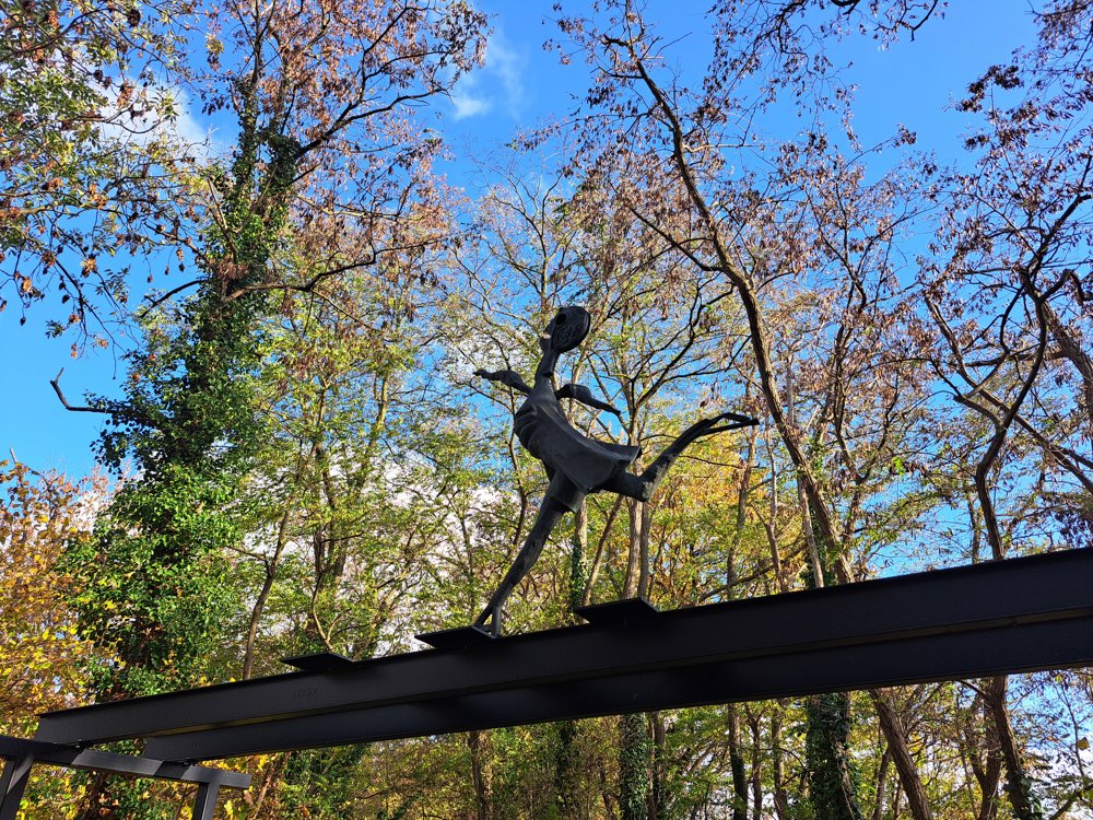
From there, you follow the former Fruit Track towards the valley of the Herk and the castle estate of Rullingen. In Kuttekoven, you come across a special artwork in memory of Holocaust survivor Simon Gronowski, who escaped here in 1943 from a deportation train to Auschwitz. The artwork Simon by Koenraad Tinel was inaugurated in 2024 along the track and invites a moment of reflection.
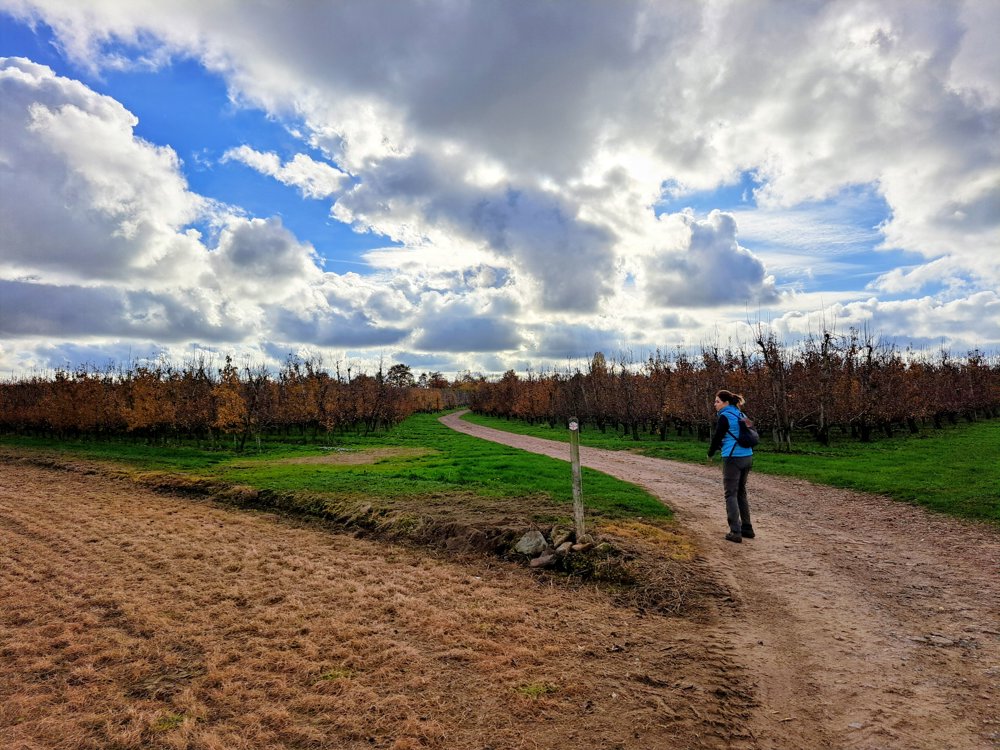
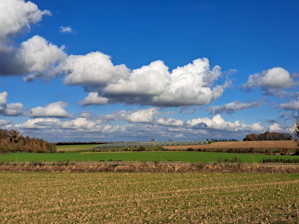
After this poignant story, you continue to walk between fields, orchards, and quiet landscapes. Other recommendations along the way are the Meersbeemden nature reserve and the atmospheric chapel of Oetersloven.
Starting place: Stroopplein 8, 3840 Tongeren-Borgloon
automatic translation
 nodes to follow
0 km
0.5 km
1.1 km
2.1 km
3.1 km
3.9 km
5 km
7.6 km
8 km
8.5 km



 Upgrade to Premium Plus


