Loading...

Ring sparrow walk - black

automatic translation

30.6 km • 1570 Galmaarden

Icon official route official route

9681 0 0/5

30.6 km 0.0 km 0.0 km

route offered by

Badge of official route

more info

Icon starting point Addresse starting point (approximate)

Marktplein 9 - knooppunt 6

Icon type signage of route signage

The route is fully signposted with nodes.
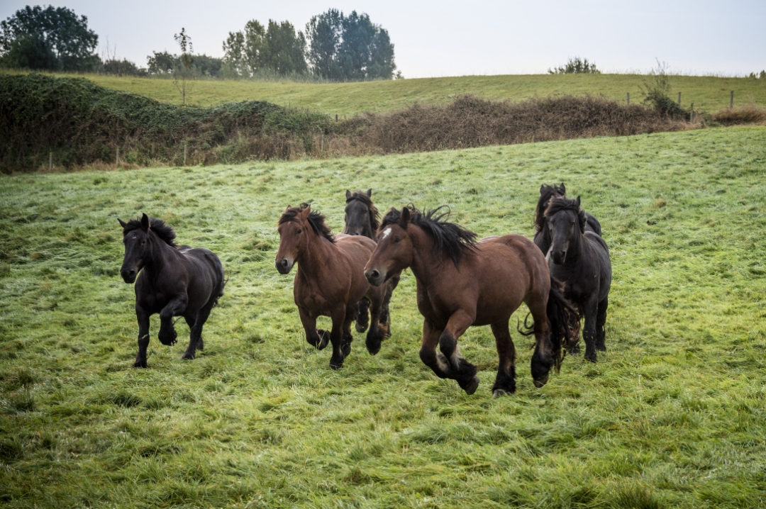
5m 5m 5m 5m
© Lander Loeckx

Icon description route Description

A 30.6 km hike from the center of Galmaarden via the Markvallei and the Bosberg, to the center of Vollezele with the beautiful Congoberg. From there you continue to the center of Tollembeek via the Urbanus statue to finish at the Baljuwtuin.

automatic translation

Icon nodes to follow nodes to follow

Image node 6
0 km
Image node 60
0.7 km
Image node 61
1 km
Image node 66
1.9 km
Image node 25
3.5 km
Image node 67
6 km
Image node 645
6.1 km
Image node 68
6.3 km
Image node 617
7.5 km
Image node 618
7.9 km
Image node 30
8.1 km
Image node 619
8.4 km
Image node 616
9.5 km
Image node 615
9.8 km
Image node 614
10.9 km
Image node 56
11.9 km
Image node 58
12.4 km
Image node 59
13.4 km
Image node 60
13.7 km
Image node 624
14.7 km
Image node 625
15.3 km
Image node 626
16.5 km
Image node 627
17 km
Image node 631
17.6 km
Image node 630
18 km
Image node 629
19 km
Image node 609
19.7 km
Image node 608
20.5 km
Image node 600
22 km
Image node 601
23 km
Image node 602
23.8 km
Image node 603
24.8 km
Image node 605
25.4 km
Image node 606
25.6 km
Image node 607
26.7 km
Image node 610
28.2 km
Image node 611
28.4 km
Image node 612
29.9 km
Image node 6
30.5 km

Alternative versions

13.4 km

Ring sparrow walk - white

Bekijk route
This route does not have any reviews yet. Be the first!
Rate route!

Which POI do you want to show on the map?

Experimental hiking network
Unsigned icon

The route you have chosen runs (partly) along an experimental virtual hiking node network (the blue-coloured nodes and sections on the map).

You must be logged in to plan routes here.

Experimental hiking network
Unsigned icon

The route you have chosen runs (partly) along an experimental virtual hiking node network (the blue-coloured nodes and sections on the map).

These routes are not controlled in the field. Before you start hiking here, take a minute to read what an experimental hiking node network is and what rules you should follow when hiking here.