Loading...

Ring sparrow walk - white

automatic translation

13.4 km • 1570 Galmaarden

Icon official route official route

8822 0 0/5

13.4 km 0.0 km 0.0 km

route offered by

Badge of official route

more info

Icon starting point Addresse starting point (approximate)

Marktplein 9 - knooppunt 6

Icon type signage of route signage

The route is fully signposted with nodes.

5m 5m 5m 5m
© Gemeente Galmaarden
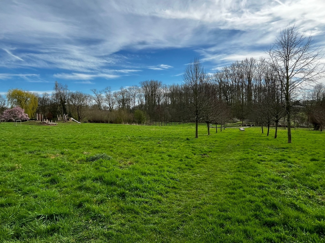
Icon description route Description

The shortest variant of the Ring Sparrow Walks. Start in the center of Galmaarden. Walk through beautiful fields to the Congoberg in Vollezele. Finish in the beautiful Baljuwtuin, where the pond is also worth a visit.

automatic translation

Icon nodes to follow nodes to follow

Image node 6
0 km
Image node 612
0.6 km
Image node 613
1.5 km
Image node 621
2 km
Image node 622
3.3 km
Image node 623
4.3 km
Image node 628
5.5 km
Image node 629
6.7 km
Image node 609
7.4 km
Image node 610
8 km
Image node 607
9.6 km
Image node 610
11.1 km
Image node 611
11.3 km
Image node 612
12.7 km
Image node 6
13.4 km

Alternative versions

30.6 km

Ring sparrow walk - black

Bekijk route
This route does not have any reviews yet. Be the first!
Rate route!

Which POI do you want to show on the map?

Experimental hiking network
Unsigned icon

The route you have chosen runs (partly) along an experimental virtual hiking node network (the blue-coloured nodes and sections on the map).

You must be logged in to plan routes here.

Experimental hiking network
Unsigned icon

The route you have chosen runs (partly) along an experimental virtual hiking node network (the blue-coloured nodes and sections on the map).

These routes are not controlled in the field. Before you start hiking here, take a minute to read what an experimental hiking node network is and what rules you should follow when hiking here.