 Hiking
 Login
Login
 More
More
 EN
EN
 Premium
From the Zavelbos to Opoeteren
automatic translation
9.2 km • Maaseik
3.1480 0 0/5

 Addresse starting point (approximate)
Kattebeekstraat 1, 3680 Maaseik, BE
 signage
The route is not signposted. Use a GPS device or our app to follow the route.
 Description
We depart from the parking lot of Camping Zavelbos and immediately walk through a beautiful forest.
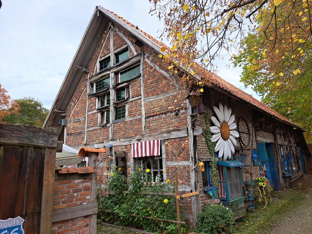
Soon, an old, charming cottage appears with a large flower on the facade and a little chapel beside it. With a bit of luck, you might meet the 90-year-old owner and get a peek inside – it's definitely worth it!
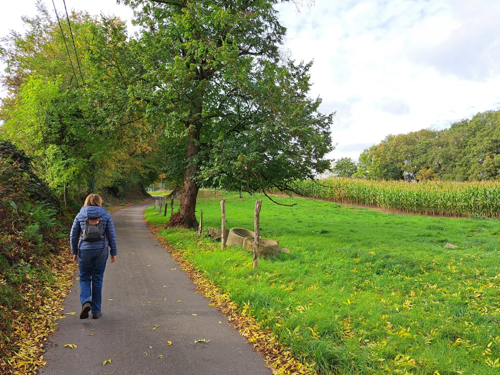
Then we pass a former fortification, cross a busy road, and enter the domain forest Aerdshouw. The walk alternates between winding forest paths and open plains with vast views. Along the way, we encounter several chapels, adding a hint of pilgrimage to the walk.
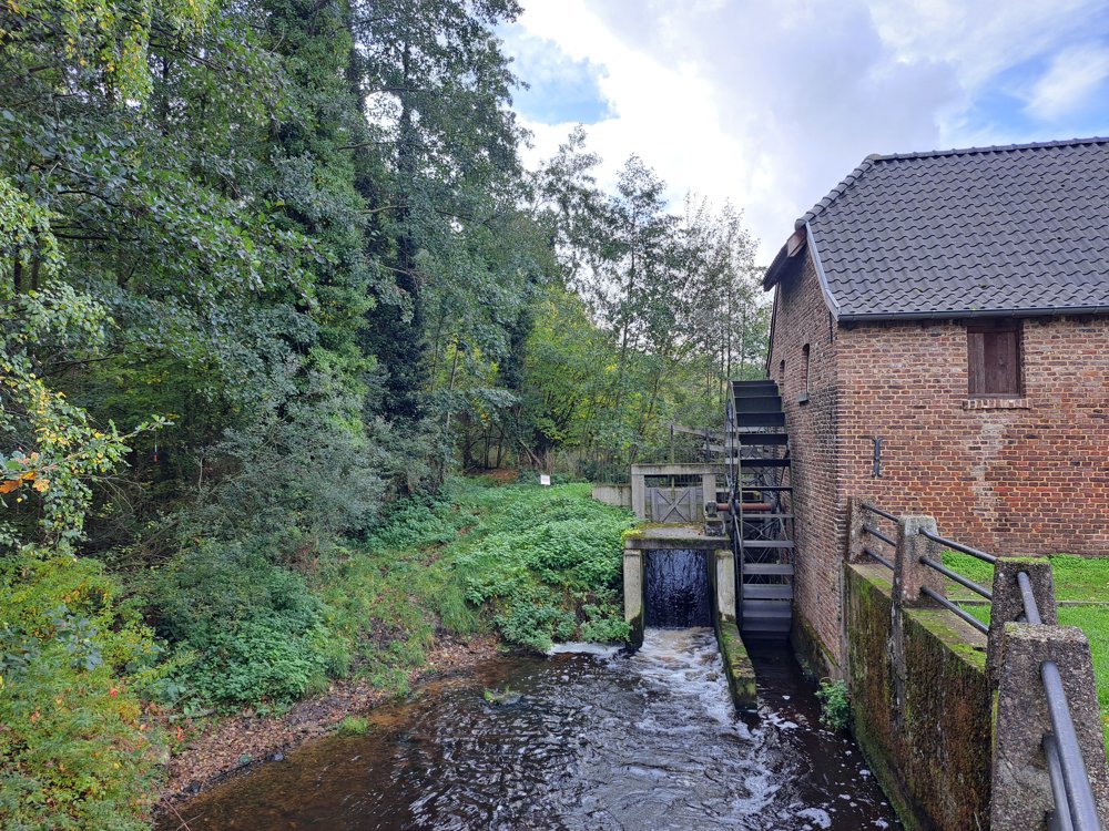
In the center of Opoeteren, a cozy café and a tavern beckon, as well as a picnic spot with benches by the watermill. We continue the route along ponds and winding paths through the Gruitroderbos.
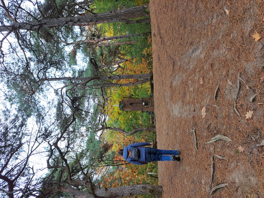
On top of the hill, the beautiful Our Lady's chapel awaits as a reward. We finish with a drink at tavern 't Zaveltje – a delightful (autumn) walk!
automatic translation


 Upgrade to Premium Plus
