 Hiking
 Login
Login
 More
More
 EN
EN
 Premium
Along orchards and fields.
automatic translation
8 km • Bekkevoort
1.7413 0 0/5
8 km
0.0 km
0.0 km

 Addresse starting point (approximate)
Struikstraat 33A, 3460 Assent, BE
 signage
The route is fully signposted with nodes.
© Jan Theunis
 Description
Parking: Struikstraat 35, Bekkevoort.
Distance walked according to GPS: 7.94 km.
Signage: Node points/GPS/Walking app.
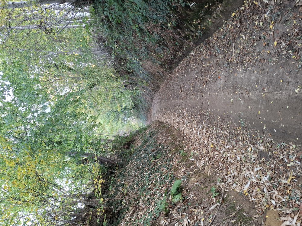
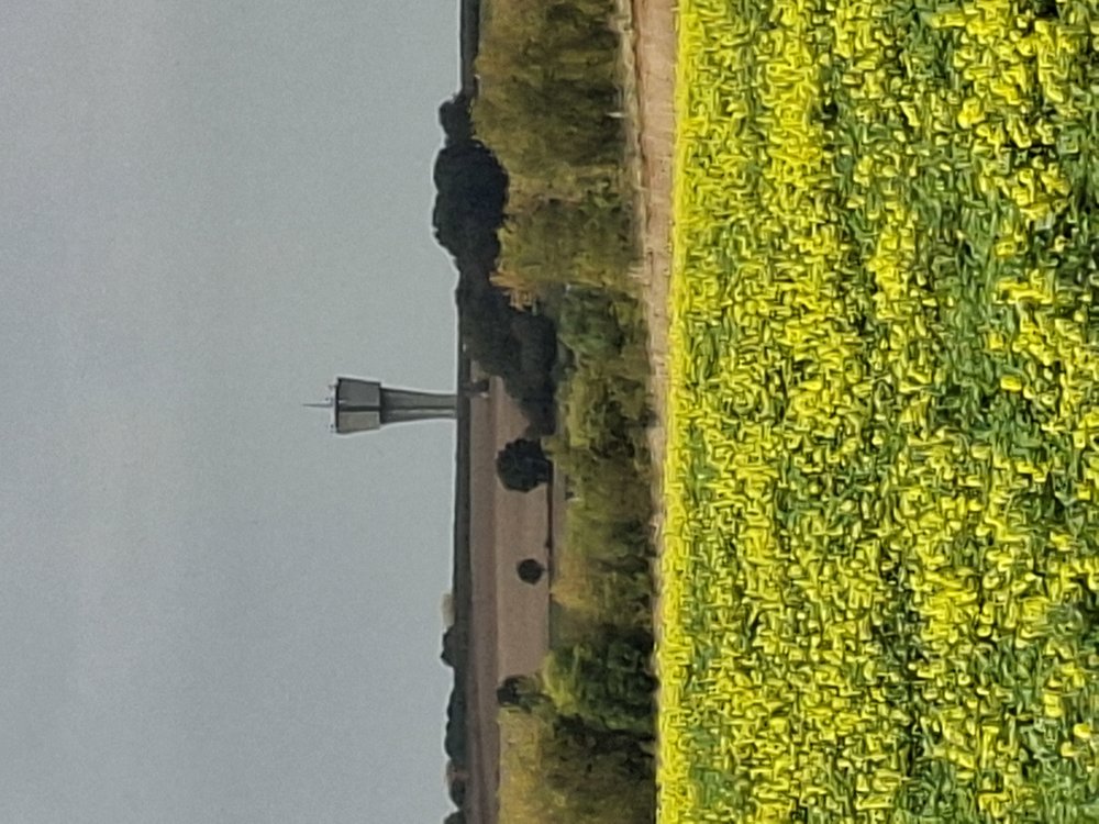
Walk through the rolling landscape with beautiful views (85 meters of elevation gain). You alternately walk through hollow roads and along fields, orchards, and occasionally a small piece of forest. Nice walk.
Bench(es): including after 1.5/3.1/4.6/5 and 5.9 km.
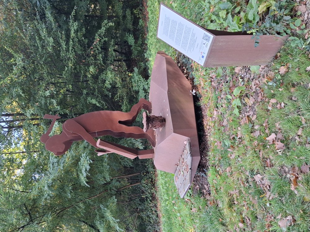
Landmarks: Artwork "Pionier".
automatic translation
 nodes to follow
0 km

0.3 km
1.2 km
1.6 km
2.4 km
2.8 km
3.1 km
4.4 km
5 km
7 km
7.3 km
7.7 km

8 km


 Upgrade to Premium Plus
