Loading...

Through the Mechelsbos

automatic translation

7.9 km • Maasmechelen

1.5340 0 0/5

7.9 km 0.0 km 0.0 km

route offered by

Jan Theunis

Icon starting point Addresse starting point (approximate)

Spoorwegstraat 8, 3630 Maasmechelen, BE

Icon type signage of route signage

The route is not signposted. Use a GPS device or our app to follow the route.
5m 5m 5m 5m
Atmosphere image 1 of route Through the Mechelsbos Atmosphere image 2 of route Through the Mechelsbos Atmosphere image 3 of route Through the Mechelsbos
© Jan Theunis

Icon description route Description

Parking: Old Station of Eisden, Spoorwegstraat 10, Maasmechelen.

Signage: GPS/Hiking app.

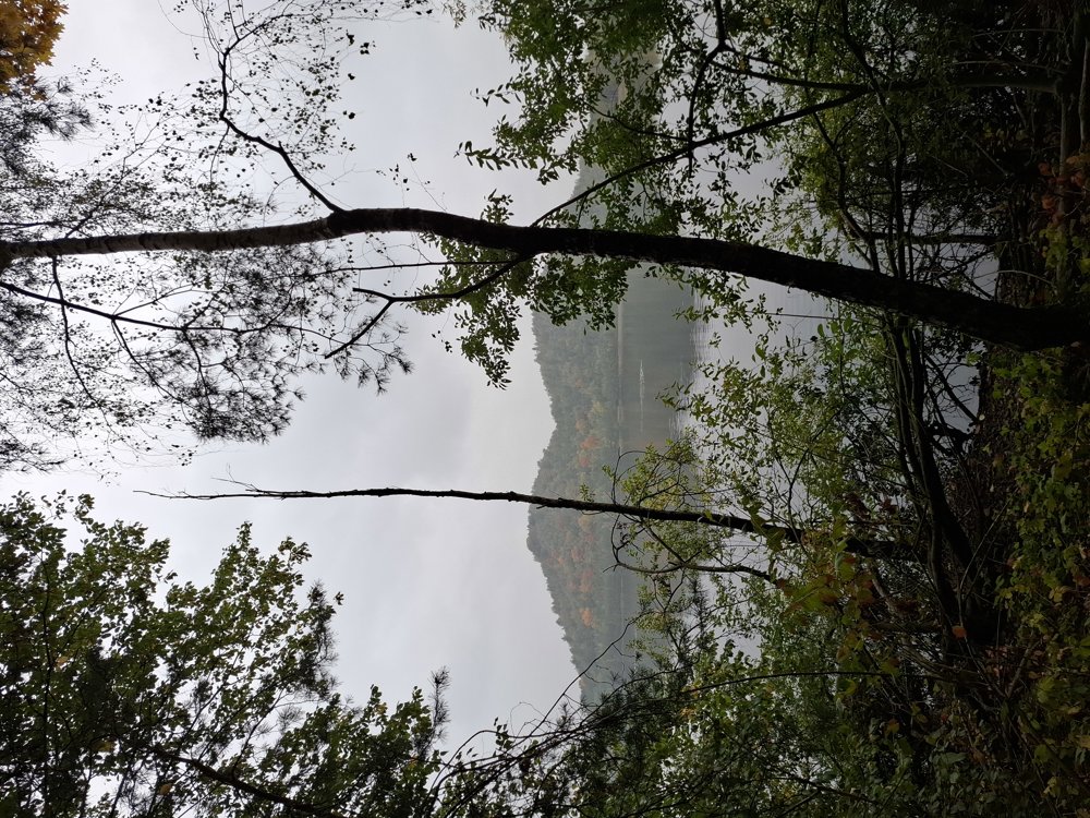
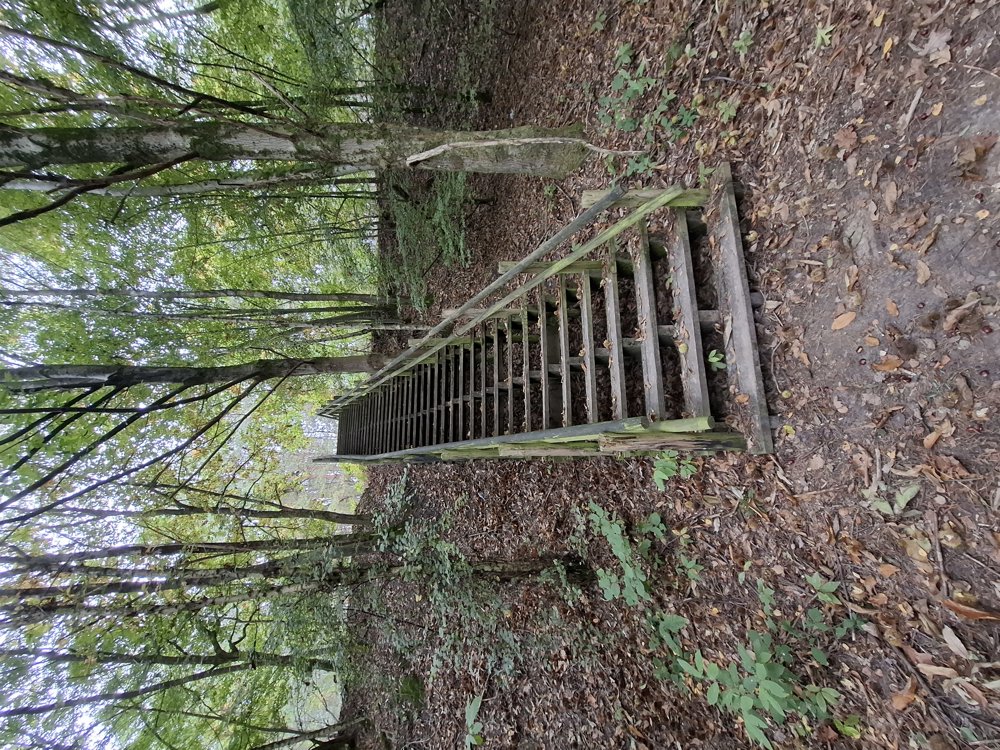
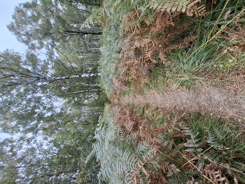
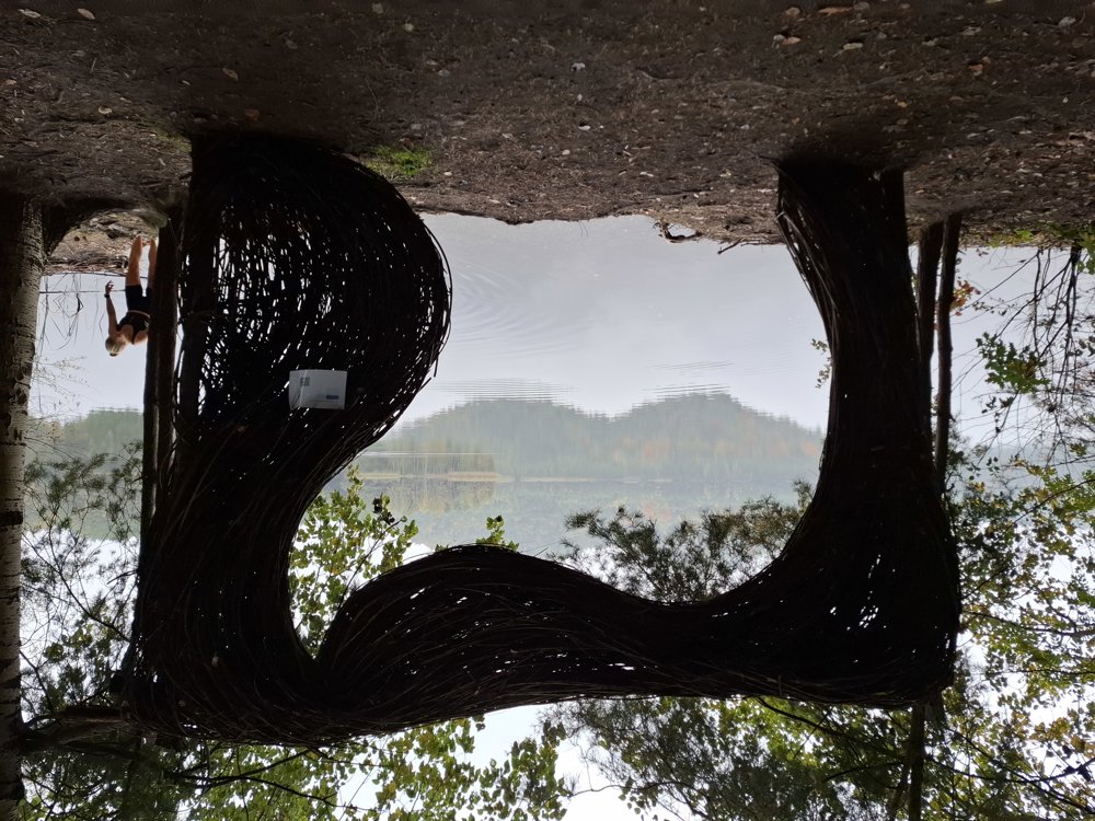
With 108 meters of elevation gain, some physical condition is required. You walk almost exclusively in the forest. First, a small stretch through the Lanklaarderbos and the majority through the Mechelsbos. The most beautiful part is along 'the Grote Plas' with a stunning view of the 'Twin Terrils' with their currently beautiful autumn colors.

Bench(es): among others after 1.1/2/3.7 and 5.6 km.

automatic translation

Icon nodes to follow nodes to follow

Icon start route
0 km
Icon deviation route
0 km
Icon deviation route
0.3 km
Icon deviation route
0.4 km
Icon deviation route
0.5 km
Image node TP
0.6 km
Icon deviation route
0.9 km
Icon deviation route
1.2 km
Icon deviation route
2.5 km
Icon deviation route
3 km
Icon deviation route
3.4 km
Image node 54
3.7 km
Image node 138
6 km
Image node 139
6.1 km
Image node 77
7.8 km
Icon stop route
7.9 km
This route does not have any reviews yet. Be the first!
Rate route!

Which POI do you want to show on the map?

Experimental hiking network
Unsigned icon

The route you have chosen runs (partly) along an experimental virtual hiking node network (the blue-coloured nodes and sections on the map).

You must be logged in to plan routes here.

Experimental hiking network
Unsigned icon

The route you have chosen runs (partly) along an experimental virtual hiking node network (the blue-coloured nodes and sections on the map).

These routes are not controlled in the field. Before you start hiking here, take a minute to read what an experimental hiking node network is and what rules you should follow when hiking here.