 Hiking
 Login
Login
 More
More
 EN
EN
 Premium
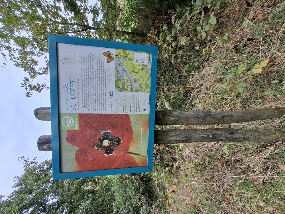
Nature Reserve “The Schurfert-Lange Beemden”
automatic translation
9.2 km • Lummen
1.7902 0 0/5

 Addresse starting point (approximate)
Zelemsebaan 1, 3560 Lummen, BE
 signage
The route is partially signposted with nodes. Use a GPS device or our app to follow the route.
 Description
Parking: At the church in Meldert, Meldertsebaan.
Distance walked according to GPS: 9.08 km.
Signage: GPS/Hiking App.
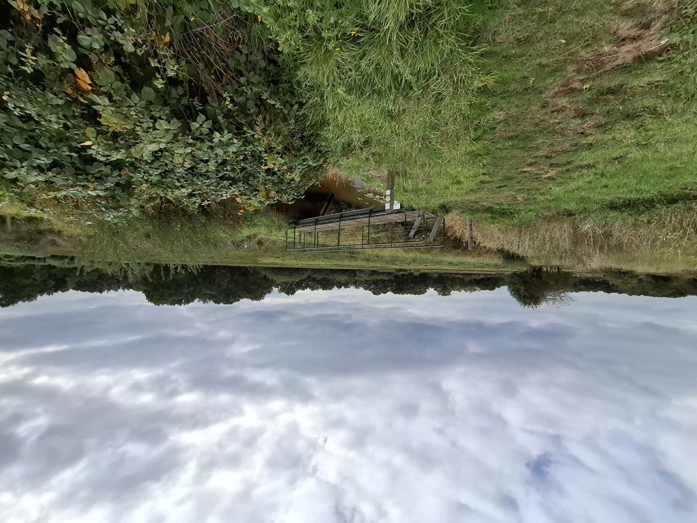
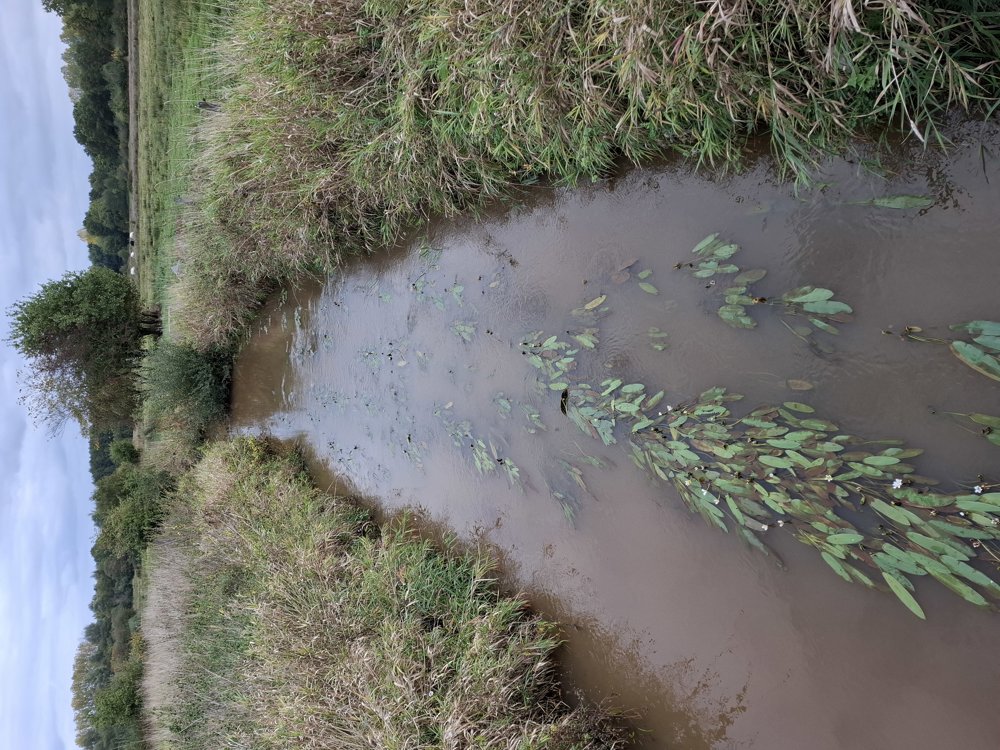
Beautiful walk through the Nature Reserve “De Schurfert-Lange Beemden”. You first have to walk a paved section along the Meldertsesteenweg and the Sint-Annastraat. Before you turn into Sint-Annastraat, take a look to the left at the beautiful Sint-Anna chapel with its characteristic “NN” in mirror image.
After 4.3 km, cross the Meldertsestraat and continue slightly uphill, then a 1.4 km section of asphalt. The section towards and over the Hertenrodeberg is almost 2.4 km unpaved.
Bench(es): e.g., after 2.6/6.4 and 6.9 km.
automatic translation
 nodes to follow
0 km
0.5 km
1.7 km
3 km
4.3 km
5.6 km

6.5 km
7.7 km
8.5 km

9.1 km


 Upgrade to Premium Plus
