 Hiking
 Login
Login
 More
More
 EN
EN
 Premium
Reppel Tour from the Watermill.
automatic translation
7.6 km • Bocholt
1.4231 0 0/5

 Addresse starting point (approximate)
Monshofstraat 9, 3950 Bocholt, BE
 signage
The route is not signposted. Use a GPS device or our app to follow the route.
 Description
Parking: At Hotel 'De Watermolen', Monshofstraat in Reppel.
Walked distance according to GPS: 7.59 km.
Signage: Virtual junctions, so use GPS/Walking app.
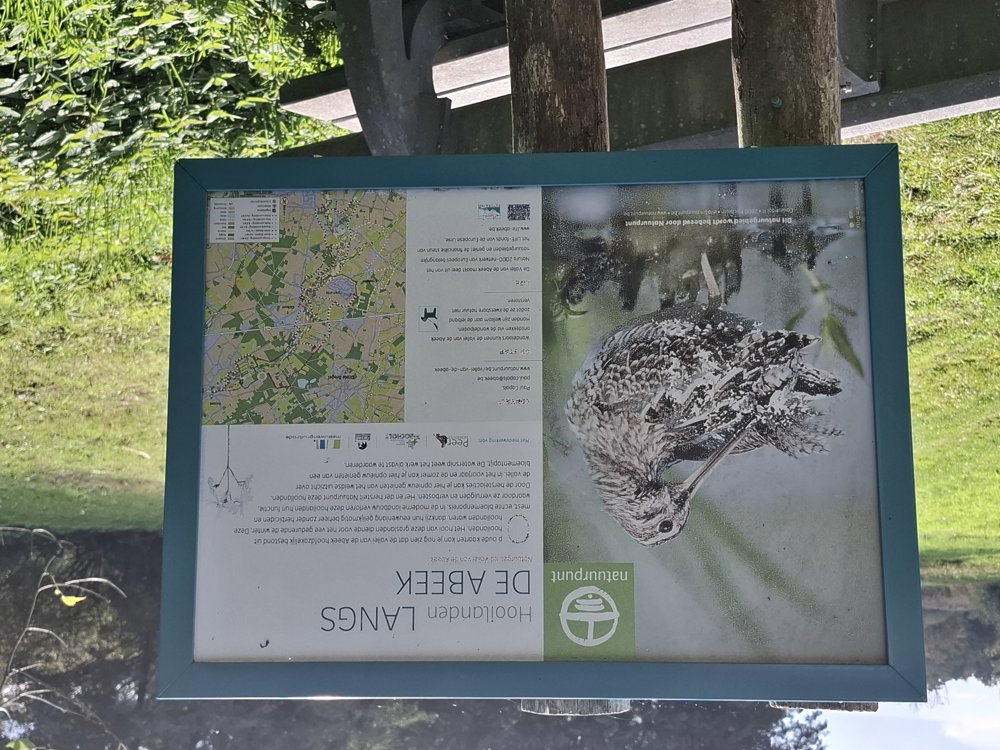
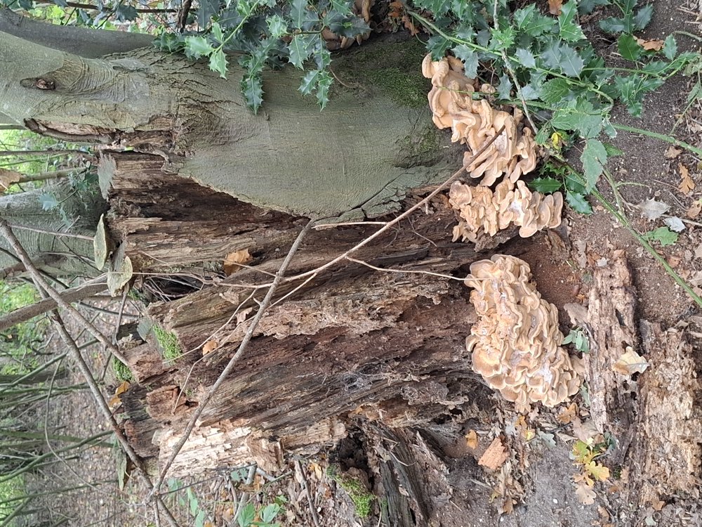
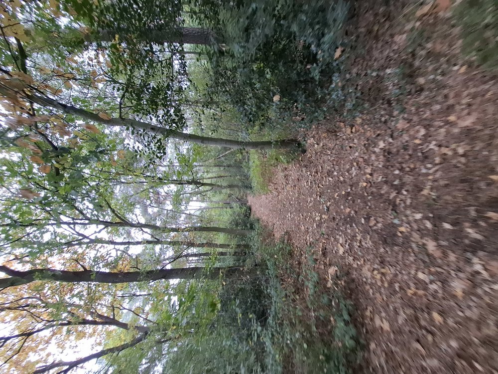
It is a quiet walk. Even the paved sections go through streets with little traffic. Nice walk. Up to the Bocholderweg, there is an alternating paved (3 km) and unpaved (1 km) path. Then you walk 3 km mostly through forest and a bit along a field. The last section is paved again.
Bench(es): among others, after 1.4/2.6/3.5/4.9/6.2 and 6.9 km.
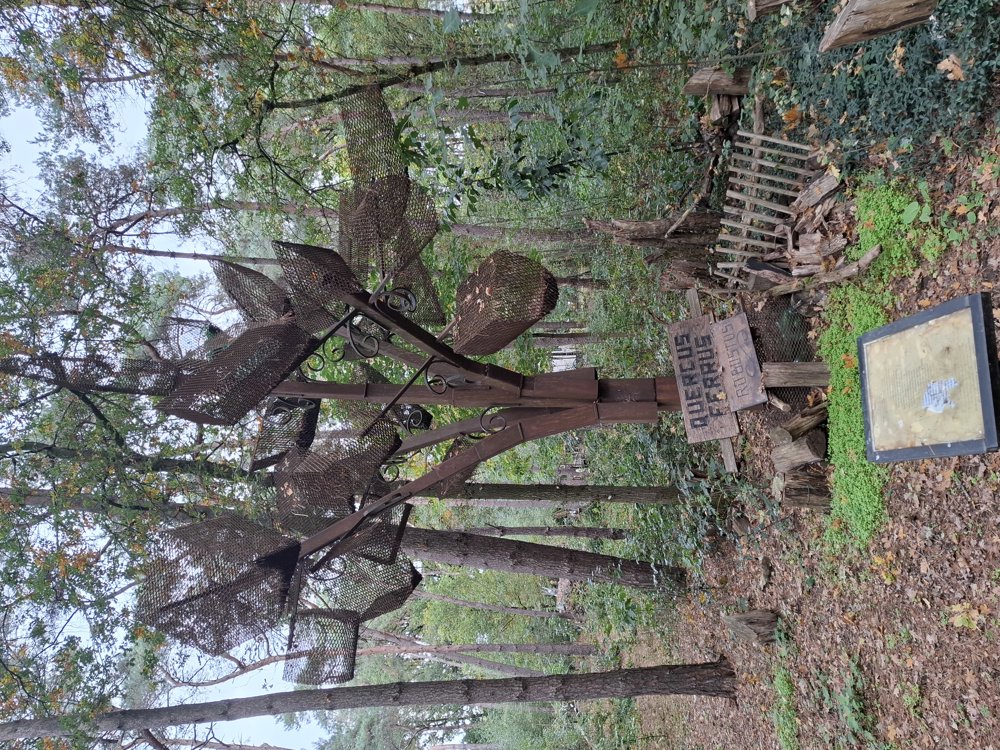
Attractions: The iron oak.
automatic translation
 nodes to follow
0 km
0.1 km
1.4 km
2.6 km
2.7 km
4.1 km
6.8 km

7.4 km
7.4 km

7.6 km


 Upgrade to Premium Plus
