Loading...

Neeritter (NL)

automatic translation

8.9 km • Leudal

1.5342 0 0/5

8.9 km 0.0 km 0.0 km

route offered by

Jan Theunis

Icon starting point Addresse starting point (approximate)

Wittesteegstraat 6, 6015 AL Kern Neeritter, NL

Icon type signage of route signage

The route is fully signposted with nodes.
5m 5m 5m 5m
Atmosphere image 1 of route Neeritter (NL) Atmosphere image 2 of route Neeritter (NL) Atmosphere image 3 of route Neeritter (NL)
© Jan Theunis

Icon description route Description

Parking: Parking Gasthuisstraat Neeritter (NL).

Distance walked according to GPS: 8.78 km.

Signage: Junctions/GPS/Walking App.

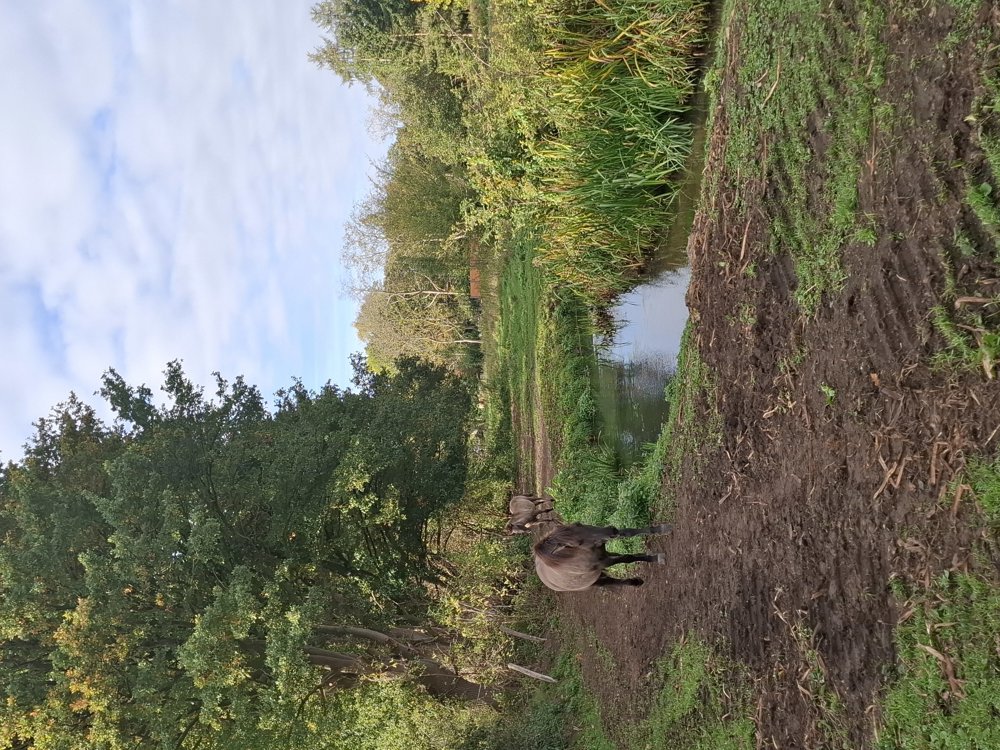
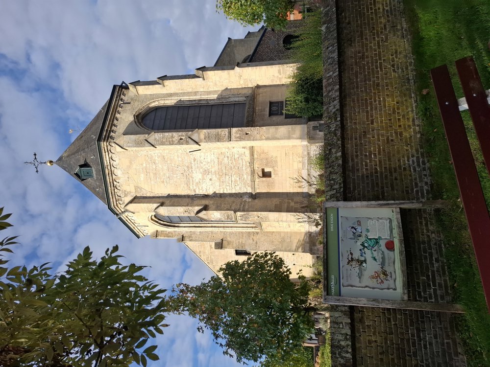
Neeritter is located just across the border near Kinrooi. You start heading towards the Sint-Lambertuskerk. Paved and unpaved paths and streets alternate (approximately 50/50).

It is a quiet walk. Even the paved sections go through traffic-calmed streets. A nice walk and as flat as a billiard table. Dutch junction system, triangles with and without number.

Bench(es): including after 0.3/2.4 km.
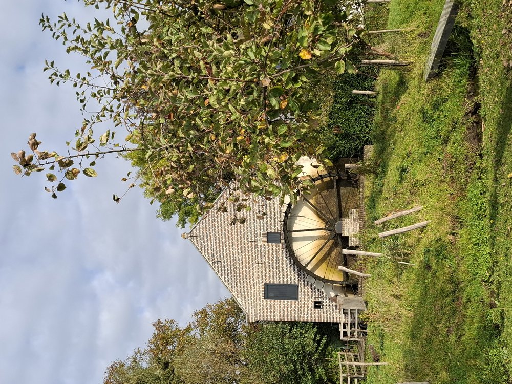
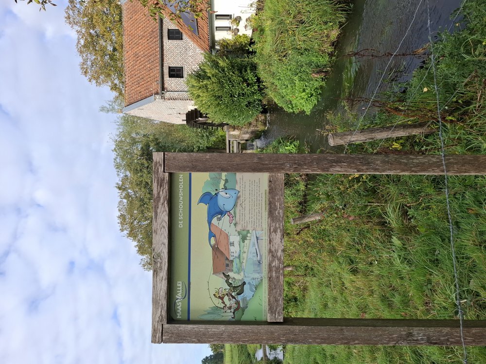
Attractions: Schouwsmolen.

automatic translation

Icon nodes to follow nodes to follow

Icon start route
0 km
Icon deviation route
0 km
Image node 54
0.1 km
Image node 53
0.6 km
Image node 51
1.2 km
Image node 17
1.3 km
Image node 16
1.5 km
Image node 19
2.3 km
Image node 18
2.4 km
Image node 33
3.2 km
Image node 34
3.8 km
Image node 35
4.1 km
Image node 48
5 km
Image node 41
5.1 km
Image node 42
5.3 km
Image node 43
5.7 km
Image node 46
6.3 km
Image node 47
6.6 km
Image node 44
8.2 km
Image node 55
8.5 km
Image node TP
8.8 km
Icon stop route
8.9 km
This route does not have any reviews yet. Be the first!
Rate route!

Which POI do you want to show on the map?

Experimental hiking network
Unsigned icon

The route you have chosen runs (partly) along an experimental virtual hiking node network (the blue-coloured nodes and sections on the map).

You must be logged in to plan routes here.

Experimental hiking network
Unsigned icon

The route you have chosen runs (partly) along an experimental virtual hiking node network (the blue-coloured nodes and sections on the map).

These routes are not controlled in the field. Before you start hiking here, take a minute to read what an experimental hiking node network is and what rules you should follow when hiking here.