 Hiking
 Login
Login
 More
More
 EN
EN
 Premium
Nature Reserve “Het Goor-Asbroek”
automatic translation
7.9 km • Herselt
2.0775 4 4/5

 Addresse starting point (approximate)
Kerkstraat 39, 2230 Herselt, BE
 signage
The route is fully signposted with nodes.
 Description
Parking: Parking at Kerkstraat 38 in Testelt.
Signage: Junction points/GPS/Hiking app.
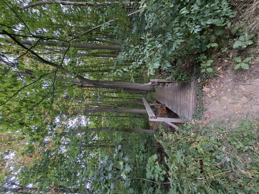
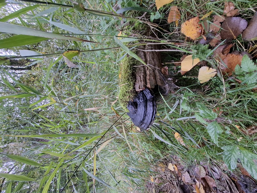
After 1.2 km you cross the Molenberg, after which you enter the nature reserve "Het Goor-Asbroek" 2.4 km later. Currently (10/3/2025), the paths here are easily passable, but in wet weather, it can be different. This is also the most beautiful part of the hike.
Bench(es): e.g., after 1.2/4.9/6.7 and 7.7 km.
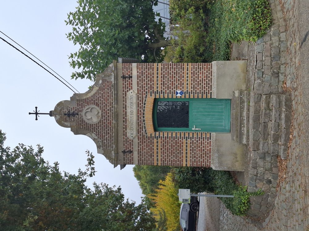
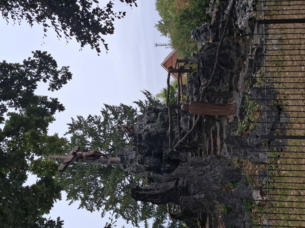
Sights: Cave at the Calvary.
automatic translation
 nodes to follow
0 km
0.1 km
0.3 km

0.3 km
0.6 km
0.9 km
1.2 km
2.2 km
3.6 km
4.9 km
5.2 km
6.4 km
6.8 km
7.3 km
7.4 km

7.9 km
Saturday, May 23, 2026 by Elke Van KelstA lovely walk! True, there are a few soggy spots here and there, but with a good pair of hiking boots, it’s no problem!
automatic translation
Sunday, May 10, 2026 by Carine JaekenWe really enjoyed this hike—though we did have the hiking trail app handy. The marshy sections weren’t too bad at the moment, but the mosquitoes were definitely out in force. I highly recommend it for the lush greenery, the many bodies of water, and the numerous handy little bridges. It’s hard to believe we encountered so few other hikers.
automatic translation
Sunday, March 1, 2026 by Julie VosGreat trip, nice variety between nature and streets. Well marked, only one sign is missing, I will report this. Marshy area, suitable footwear required :)
automatic translation
Saturday, January 24, 2026 by S.V.The walking points are not always well marked, which means you can lose your way. On the long stretches, it would be useful to have signs every now and then so that if you take a wrong turn, you don't have to go back very far. The signs are also not always clearly visible. We ended our walk early out of frustration.
automatic translation
Tuesday, February 17, 2026 by Jan TheunisUse a walking app. If you use the Wandelknooppunt walking app, you'll never get lost. I often go on walks that deviate from the junctions, and without the app, I'm always in trouble.
automatic translation


 Upgrade to Premium Plus
