Loading...

Nature Reserve The Dikes

automatic translation

9.6 km • Diepenbeek

2.2554 0 0/5

9.6 km 0.0 km 0.0 km

route offered by

Jan Theunis

Icon starting point Addresse starting point (approximate)

Lutselusplein 4, 3590 Lutselus, BE

Icon type signage of route signage

The route is partially signposted with nodes. Use a GPS device or our app to follow the route.
5m 5m 5m 5m
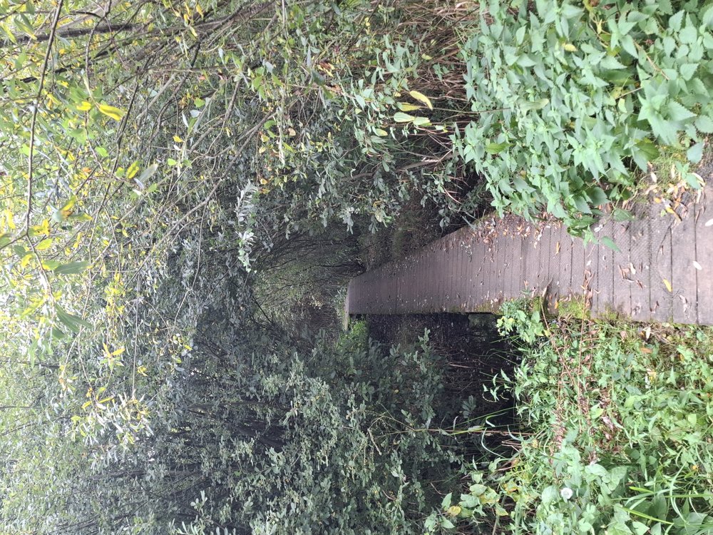
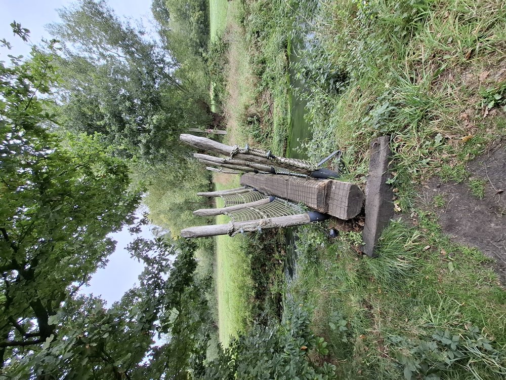
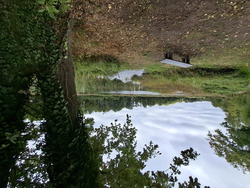
Atmosphere image 1 of route Nature Reserve The Dikes Atmosphere image 2 of route Nature Reserve The Dikes Atmosphere image 3 of route Nature Reserve The Dikes
© Jan Theunis

Icon description route Description

Parking: Lutselusplein, Lutselus (Diepenbeek)

Signage: Junctions/GPS/Hiking App.

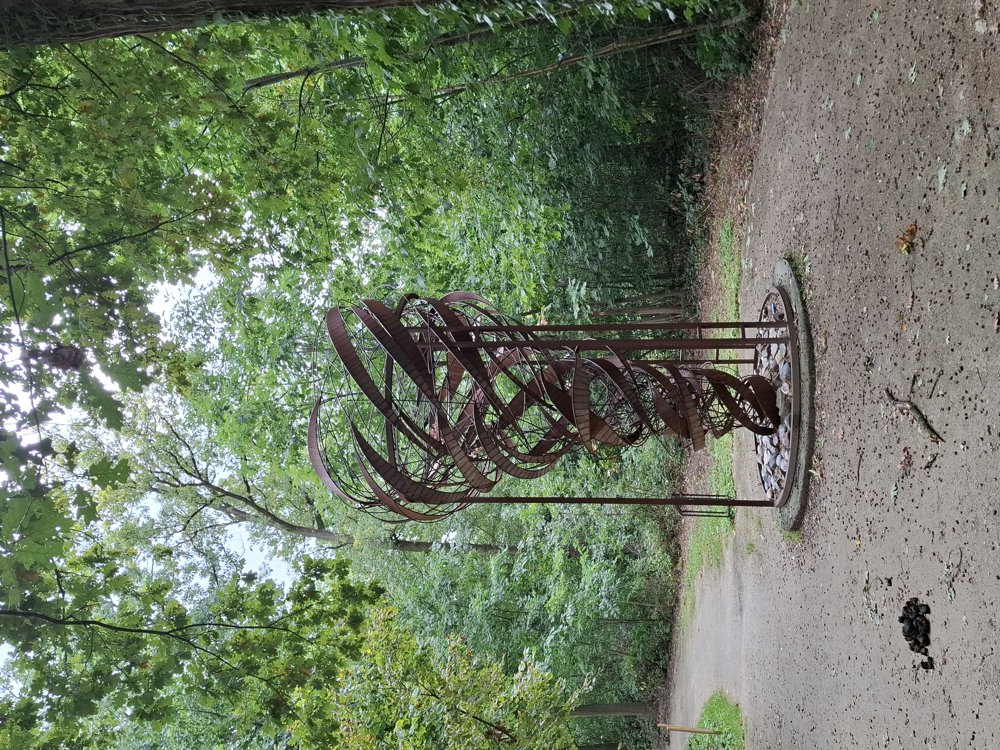
After leaving the busy Nieuwstraat behind, you will soon walk through the park of Lutselus. You will then pass the community garden De Hertenweide. Continue for 1.3 km until you reach the artwork "Tree of Silence", then turn back towards the Pomperikvijver.

From this point, you walk through woods and along unpaved paths to the nature reserve "De Dijken". Perhaps, like us, you will see a deer in the forest. Next, head to the Dautewijers and then another 600 m on paved roads to the starting point.

Bench(es): e.g., after 0.7/2/3.1/5.4/7.3/8.4 and 8.9 km.

Attractions: Tree of Silence.

automatic translation

Icon nodes to follow nodes to follow

Icon start route
0 km
Icon deviation route
0.1 km
Icon deviation route
0.2 km
Icon deviation route
0.2 km
Icon deviation route
0.3 km
Icon deviation route
0.5 km
Icon deviation route
0.8 km
Icon deviation route
0.9 km
Icon deviation route
1.2 km
Icon deviation route
1.3 km
Icon deviation route
1.5 km
Icon deviation route
1.9 km
Icon deviation route
2.3 km
Icon deviation route
2.7 km
Image node 100
3 km
Image node 99
3.2 km
Image node 98
3.6 km
Image node 92
4.7 km
Image node 91
4.9 km
Image node 88
5.7 km
Image node 93
6 km
Image node 94
8.2 km
Icon deviation route
8.6 km
Icon deviation route
9.1 km
Icon deviation route
9.4 km
Icon stop route
9.6 km
This route does not have any reviews yet. Be the first!
Rate route!

Which POI do you want to show on the map?

Experimental hiking network
Unsigned icon

The route you have chosen runs (partly) along an experimental virtual hiking node network (the blue-coloured nodes and sections on the map).

You must be logged in to plan routes here.

Experimental hiking network
Unsigned icon

The route you have chosen runs (partly) along an experimental virtual hiking node network (the blue-coloured nodes and sections on the map).

These routes are not controlled in the field. Before you start hiking here, take a minute to read what an experimental hiking node network is and what rules you should follow when hiking here.