 Hiking
 Login
Login
 More
More
 EN
EN
 Premium
Wersbeek-Molenbeek
automatic translation
7.3 km • Bekkevoort
2.3012 0 0/5
7.3 km
0.0 km
0.0 km

 Addresse starting point (approximate)
Processiestraat 18, 3461 Bekkevoort, BE
 signage
The route is fully signposted with nodes.
© Jan Theunis
 Description
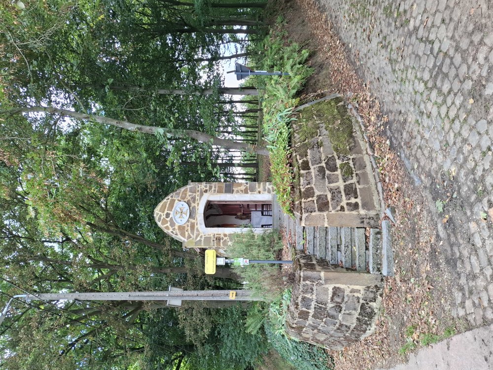
Parking: At the church of Wersbeek, Processiestraat.
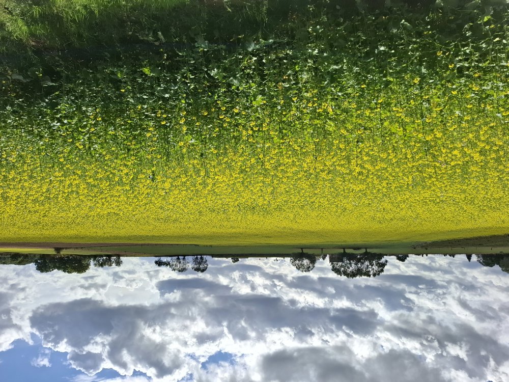
Rolling walk that mostly goes along paved roads. Only on Bergstraat it goes a bit steeper uphill for 200 m. Here and there you walk through the fruit trees. Not a top walk (too much concrete), but great if the woods are a bit muddy.
Signage: Junctions/GPS/Hiking App.
Bench(es): e.g., at the church of Molenbeek (3.2 km)
automatic translation
 nodes to follow
0 km

0.1 km
0.5 km
0.9 km
2.6 km
2.8 km
3.2 km
4.5 km
5.3 km
6.3 km
7 km

7.3 km


 Upgrade to Premium Plus
