 Hiking
 Login
Login
 More
More
 EN
EN
 Premium
Galgenberg and Helchteren Forest.
automatic translation
7.4 km • Houthalen-Helchteren
1.8583 0 0/5

 Addresse starting point (approximate)
Wolfsdal 49, 3530 Houthalen-Helchteren, BE
 signage
The route is partially signposted with nodes. Use a GPS device or our app to follow the route.
 Description
Parking: Wolfsdal, Houthalen-Helchteren.
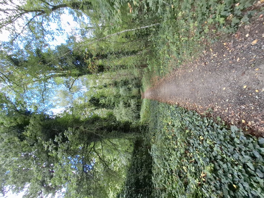
Nice walk over the Galgenberg and through the beautiful Helchteren forest. The entire walk is on well-accessible paths. The walk has 75 meters of elevation and is slightly undulating, so there are no steep uphill sections.
Except for a small detour just after the football field, you can always follow the junctions. Signposting: junctions/GPS/hiking app.
Bench(es): among others at 2.3 km.
Catering: Het Boske/ice cream parlor Rossi.
automatic translation
 nodes to follow
0 km
0 km
0.7 km

1 km
1.2 km
1.4 km
1.6 km
2.5 km
3.3 km
4 km
4.7 km
6.2 km
6.9 km

7.3 km


 Upgrade to Premium Plus
