 Hiking
 Login
Login
 More
More
 EN
EN
 Premium
Thimougies-Bėclers-Havinnes (Tournai)
automatic translation
12 km • Tournai
1.6541 0 0/5

 Addresse starting point (approximate)
Place De Thimougies 22, 7533 Tournai, BE
 signage
The route is not signposted. Use a GPS device or our app to follow the route.
 Description
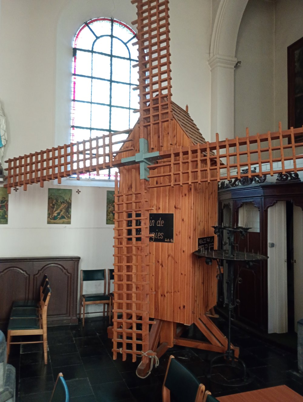
Departure: Saint Hilaire Church - rue le Haut - Thimougies
This small church is only open on weekends. In this church, there is a miniature of the mill that we will come across a few hundred meters further on our path.
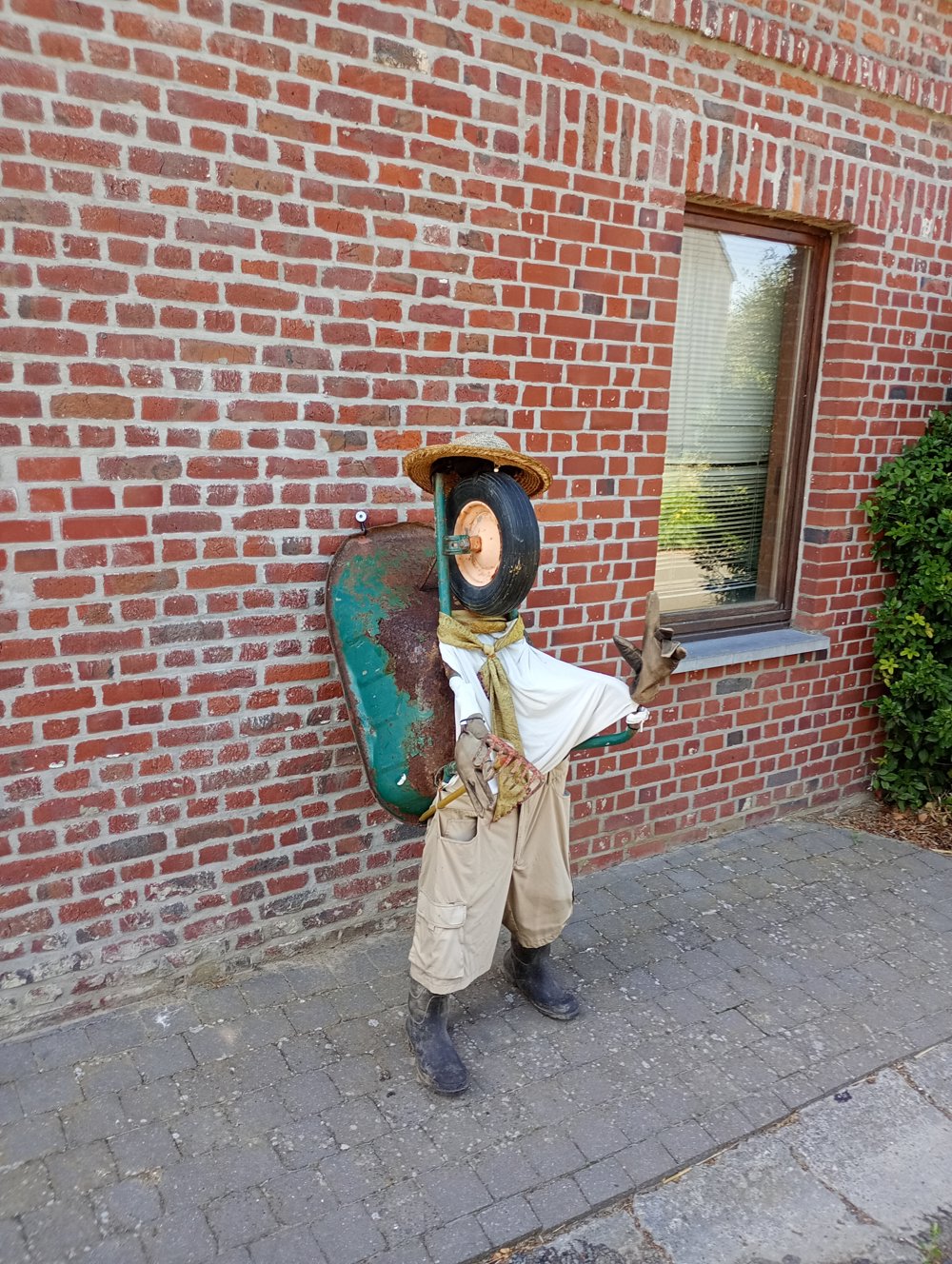
In the village, you can see various beautiful artworks placed in the front gardens or on the façades of the houses.
A restroom stop is only possible in Béclers (after 4 km).
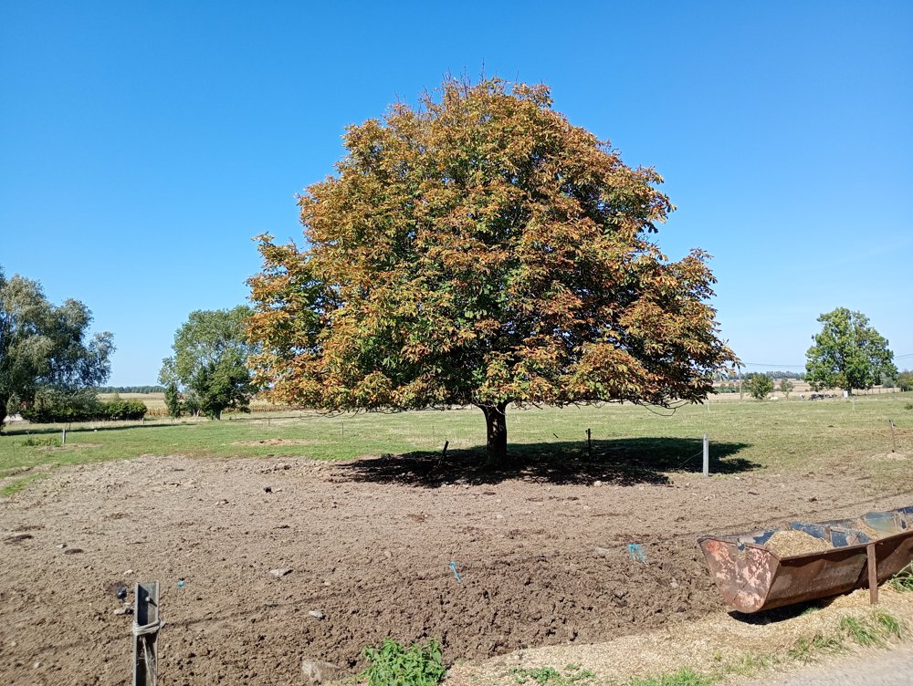
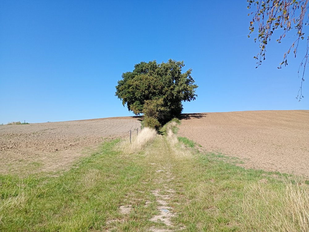
The landscape is quite monotonous with cornfields alternating with maize fields. For those who love vast landscapes and views, this is a suitable walk. Along the way, there are many chapels that unfortunately have not been maintained for decades. During rainy periods, it can be muddy.
automatic translation
 nodes to follow
0 km

0.4 km
0.8 km
2.2 km
4.4 km
5.5 km
6.4 km
7.1 km
7.8 km
8.7 km
10 km
10.4 km
11.6 km

11.9 km


 Upgrade to Premium Plus
