Loading...

Along the mural under the E314

automatic translation

7.8 km • Lummen

1.8521 0 0/5

7.8 km 0.0 km 0.0 km

route offered by

Jan Theunis

Icon starting point Addresse starting point (approximate)

Zwarte-Brugstraat 5, 3560 Lummen, BE

Icon type signage of route signage

The route is not signposted. Use a GPS device or our app to follow the route.

5m 5m 5m 5m
Atmosphere image 1 of route Along the mural under the E314 Atmosphere image 2 of route Along the mural under the E314 Atmosphere image 3 of route Along the mural under the E314
© Jan Theunis

Icon description route Description

Parking: Schulensmeer Parking, Zwartebrugstraat Linkhout.

Signage: GPS/Hiking app.

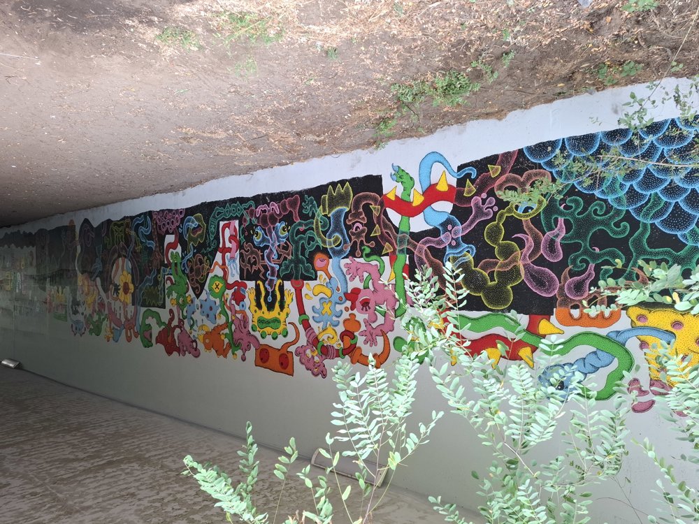
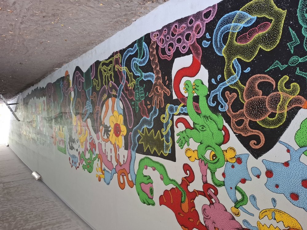
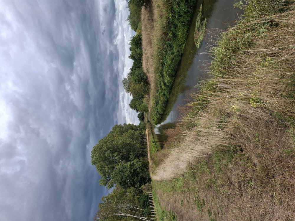
The young artist Rune Carrette is creating a 40-meter-long mural under the bridge (Kammestraat) of the E314 in Linkhout. I have mapped out a walk that passes through here. This is a peaceful walk alternating between open terrain and forest. You do need to take the somewhat noisy section along the E314. After 4.6 km, you reach the mural; Rune was still working on his impressive masterpiece (9/4/2025). Well done, man. The last section walks along the Demer.

Bench(es): among others at 3 km (padel Zelem) and 6.4 km.

Attractions: Graffiti under the bridge.

Catering: Tennis and Padel Zelem and 't Vloot.

automatic translation

Icon nodes to follow nodes to follow

Icon start route
0 km
Icon deviation route
0.5 km
Icon deviation route
1.4 km
Image node TP
2.2 km
Icon deviation route
3 km
Icon deviation route
3.4 km
Icon deviation route
3.6 km
Icon deviation route
4.1 km
Icon deviation route
4.3 km
Icon deviation route
4.5 km
Icon deviation route
4.7 km
Icon deviation route
4.9 km
Icon deviation route
5.2 km
Icon deviation route
5.3 km
Icon deviation route
5.4 km
Icon deviation route
5.6 km
Icon deviation route
6 km
Icon deviation route
6.3 km
Icon deviation route
6.6 km
Icon deviation route
7.2 km
Icon deviation route
7.7 km
Icon deviation route
7.7 km
Icon stop route
7.8 km
This route does not have any reviews yet. Be the first!
Rate route!

Which POI do you want to show on the map?

Experimental hiking network
Unsigned icon

The route you have chosen runs (partly) along an experimental virtual hiking node network (the blue-coloured nodes and sections on the map).

You must be logged in to plan routes here.

Experimental hiking network
Unsigned icon

The route you have chosen runs (partly) along an experimental virtual hiking node network (the blue-coloured nodes and sections on the map).

These routes are not controlled in the field. Before you start hiking here, take a minute to read what an experimental hiking node network is and what rules you should follow when hiking here.