 Hiking
 Login
Login
 More
More
 EN
EN
 Premium
Arquennes (Seneffe)
automatic translation
12.8 km • Seneffe
2.5072 1 4.5/5

 Addresse starting point (approximate)
Place de l'Eglise 3, 7181 Seneffe, BE
 signage
The route is not signposted. Use a GPS device or our app to follow the route.

 Description
Departure: Église Sainte-Vierge - Place Albert I - Arquennes
This lovely little church in a small village is our starting point. The church is open every day and beautiful stained glass windows can be admired here - rather classical at the front, very modern along the side aisles.
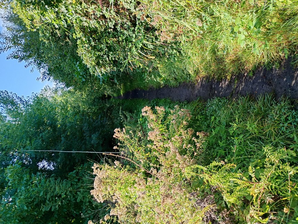
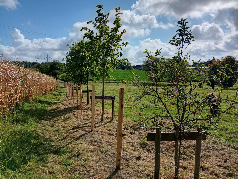
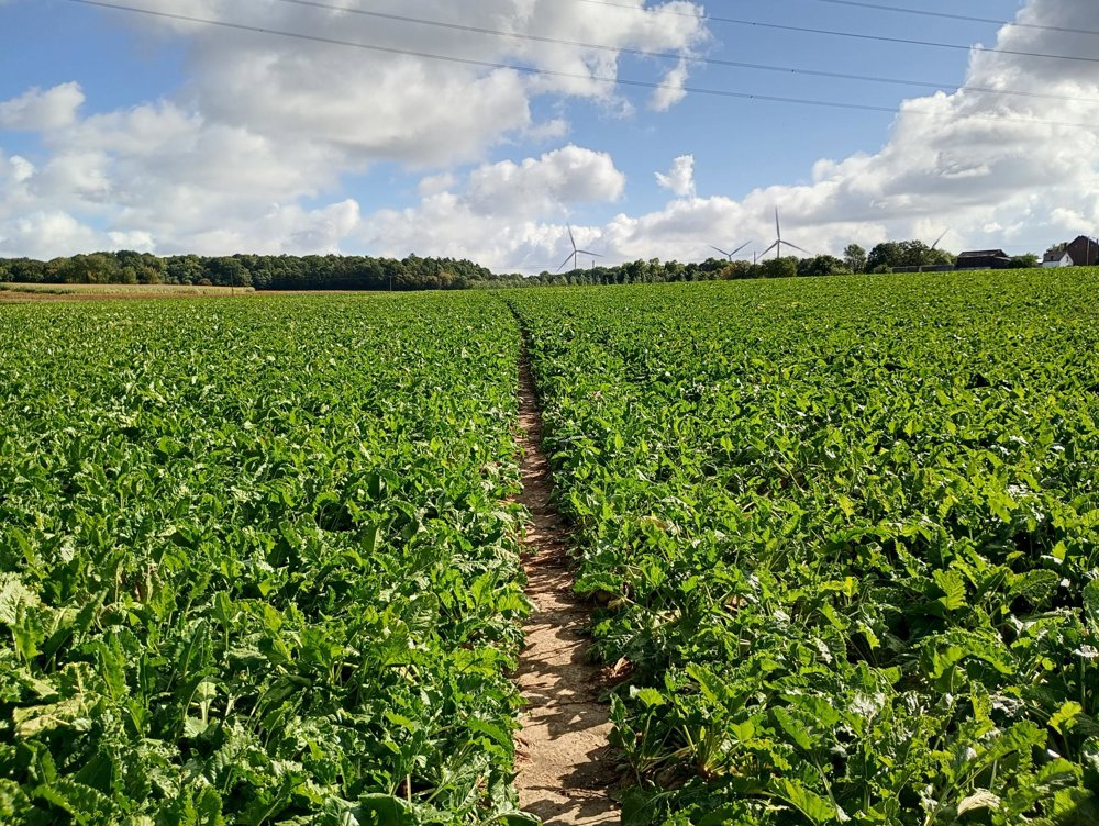
We walk out of the village to the Bois d'Arpes, which is threaded with small streams. For this, we go literally through the fields. Then further to the Bois-de-l'Hôpital. Then onwards to the old Brussels-Charleroi canal, which is no longer navigable. But we still pass by the old locks and the lock keeper's houses, all beautifully numbered, but which have meanwhile lost their original function and now serve as residences.
A varied walk through the woods and then along the banks of the canal. No refreshments available along the way.
automatic translation
Sunday, November 9, 2025 by Peter MeertBeautiful, varied, quiet route, with the many locks and waterfalls as a hotspot.
Possibly extend to inclined plane of Ronquières (as turning point) along the old canal.
There is catering facilities here (the only one along the way).
automatic translation


 Upgrade to Premium Plus
