 Hiking
 Login
Login
 More
More
 EN
EN
 Premium
Through the forests of Bokrijk.
automatic translation
8.2 km • Hasselt
2.9613 0 0/5

 Addresse starting point (approximate)
Zavelvennestraat 289, 3500 Hasselt, BE
 signage
The route is partially signposted with nodes. Use a GPS device or our app to follow the route.
 Description
Parking: Along the side of the road in Zavelvennestraat (Hasselt) or Bokrijkseweg (Zonhoven).
Signage: Junctions/GPS/Walking app.
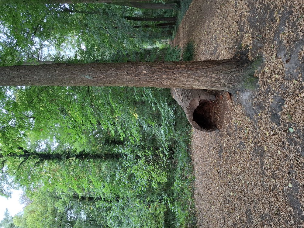
A very quiet, beautiful walk in the woods of the Provincial Domain Bokrijk. Definitely worth a walk.
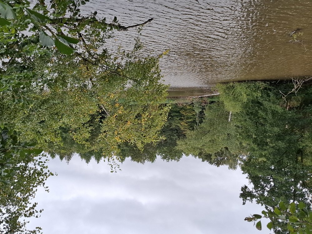
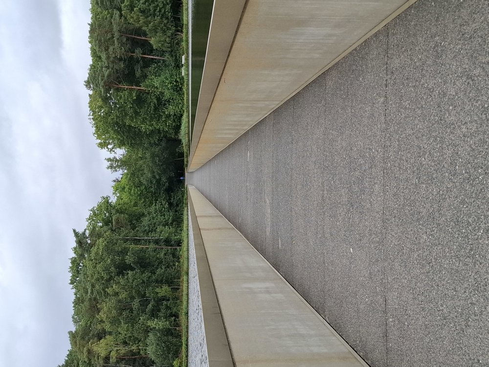
You walk along the arboretum of Bokrijk; for nature enthusiasts, it's worth deviating a bit from the walk and/or visiting the open-air museum. You also step through the famous “Cycling through Water”.
Benches: among others at 1.2/5/6.3/7.2 and 7.8 km.
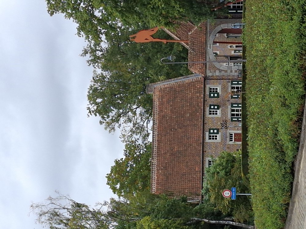
Attractions: Arboretum (free access) and Bokrijk Open-air Museum (paid entry).
Catering: Het Koetshuis.
automatic translation
 nodes to follow
0 km

0.4 km
1 km
1.4 km
2 km
5.1 km
5.4 km
5.8 km
6 km
6 km
6 km
6.1 km
6.6 km
7.1 km
7.9 km

8.2 km


 Upgrade to Premium Plus
