Loading...

Nature Reserve ‘Caetsweyers’

automatic translation

7 km • Diepenbeek

5.1263 1 2.5/5

7 km 0.0 km 0.0 km

route offered by

Jan Theunis

Icon starting point Addresse starting point (approximate)

Lutselusplein 5, 3590 Diepenbeek, BE
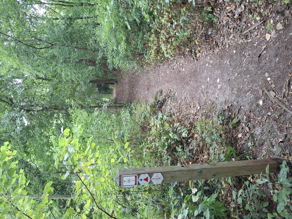
Icon type signage of route signage

The route is partially signposted with nodes. Use a GPS device or our app to follow the route.

5m 5m 5m 5m
Atmosphere image 1 of route Nature Reserve ‘Caetsweyers’ Atmosphere image 2 of route Nature Reserve ‘Caetsweyers’ Atmosphere image 3 of route Nature Reserve ‘Caetsweyers’
© Jan Theunis

Icon description route Description

Parking: Lutselusplein, Lutselus (Diepenbeek)

Signage: Nodes/GPS/Walking app.

First 4 km over low-traffic streets and roads through the village of Lutselus. You cross the busy Nieuwstraat twice, but this can be done safely at traffic lights.

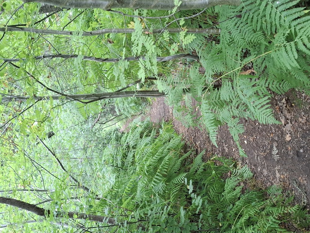
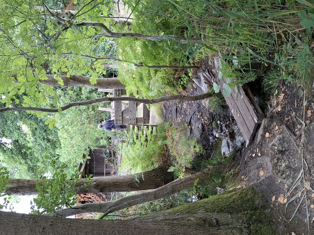
After the 4 km, you enter the nature reserve ‘Caetsweyers’. Here, it goes over forest paths and along the Kaatsbeek, a beautiful piece of nature.

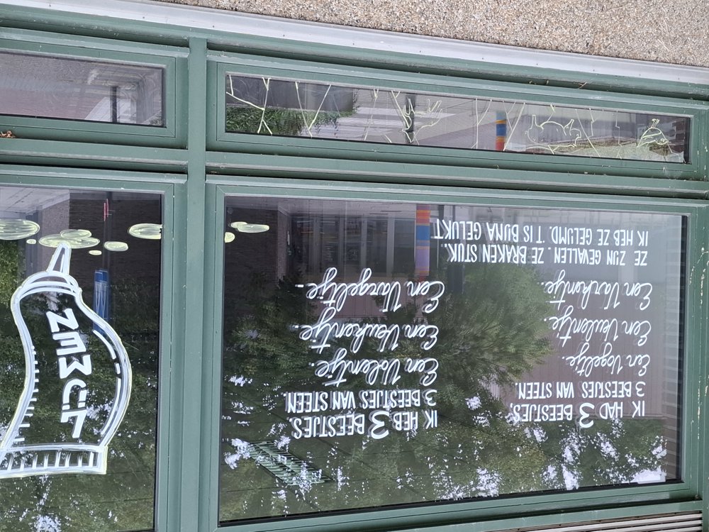
Back in the inhabited world, you can read the funny little poem on one of the windows of the school.

Bench(es): among others at 0.7/2.3/4 and 6.8 km.

automatic translation

Icon nodes to follow nodes to follow

Icon start route
0 km
Icon deviation route
0.2 km
Icon deviation route
0.4 km
Icon deviation route
0.9 km
Icon deviation route
1.6 km
Icon deviation route
2 km
Icon deviation route
2.5 km
Icon deviation route
2.8 km
Icon deviation route
3.7 km
Image node TP
4.1 km
Image node 96
6.6 km
Icon deviation route
6.9 km
Icon deviation route
6.9 km
Icon stop route
7 km
This route has 1 review(s).
Rate route!

Sunday, September 7, 2025 by Paul Geboes long walkway between the cottages, there is much more forest here for walking.
automatic translation

Wednesday, September 10, 2025 by Jan TheunisLooking at houses is also fun sometimes -:)
automatic translation

Which POI do you want to show on the map?

Experimental hiking network
Unsigned icon

The route you have chosen runs (partly) along an experimental virtual hiking node network (the blue-coloured nodes and sections on the map).

You must be logged in to plan routes here.

Experimental hiking network
Unsigned icon

The route you have chosen runs (partly) along an experimental virtual hiking node network (the blue-coloured nodes and sections on the map).

These routes are not controlled in the field. Before you start hiking here, take a minute to read what an experimental hiking node network is and what rules you should follow when hiking here.