 Hiking
 Login
Login
 More
More
 EN
EN
 Premium
Through the Zonhoverheide
automatic translation
6 km • Zonhoven
2.5591 0 0/5
6 km
0.0 km
0.0 km

 Addresse starting point (approximate)
Mercuriuslaan 4, 3600 Houthalen-Oost, BE
 signage
The route is partially signposted with nodes. Use a GPS device or our app to follow the route.
© Jan Theunis
 Description
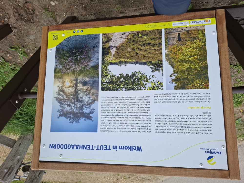
Parking: The De Teut parking lot at Wagenmanskeel, Zonhoven.
Signage: Nodes/GPS/Walking app.
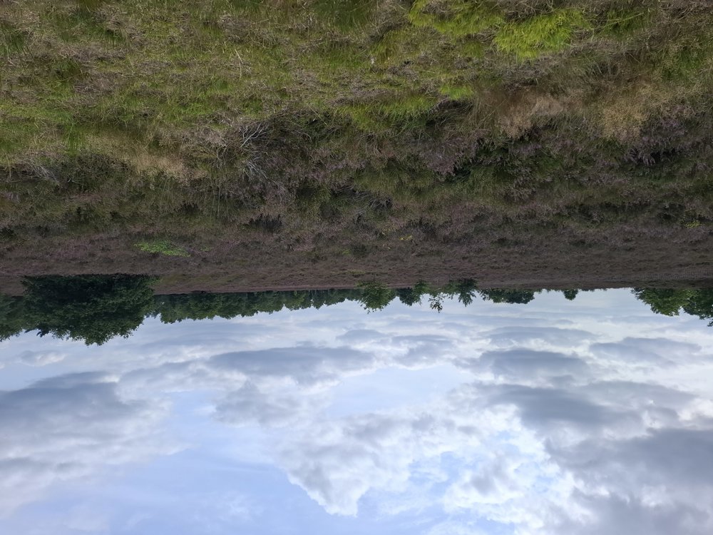
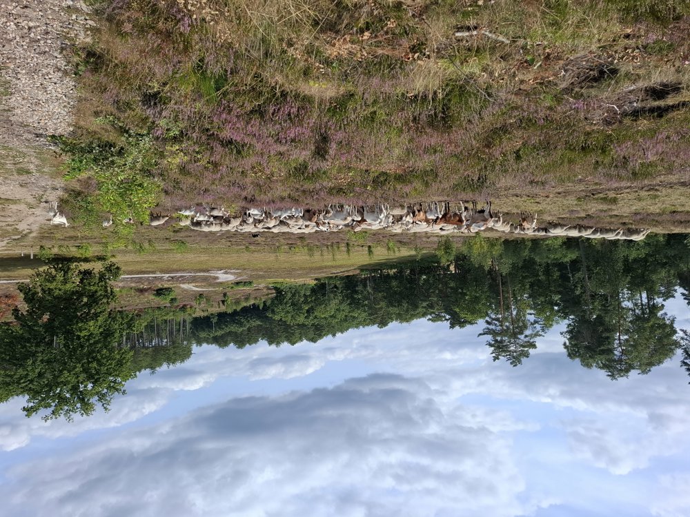
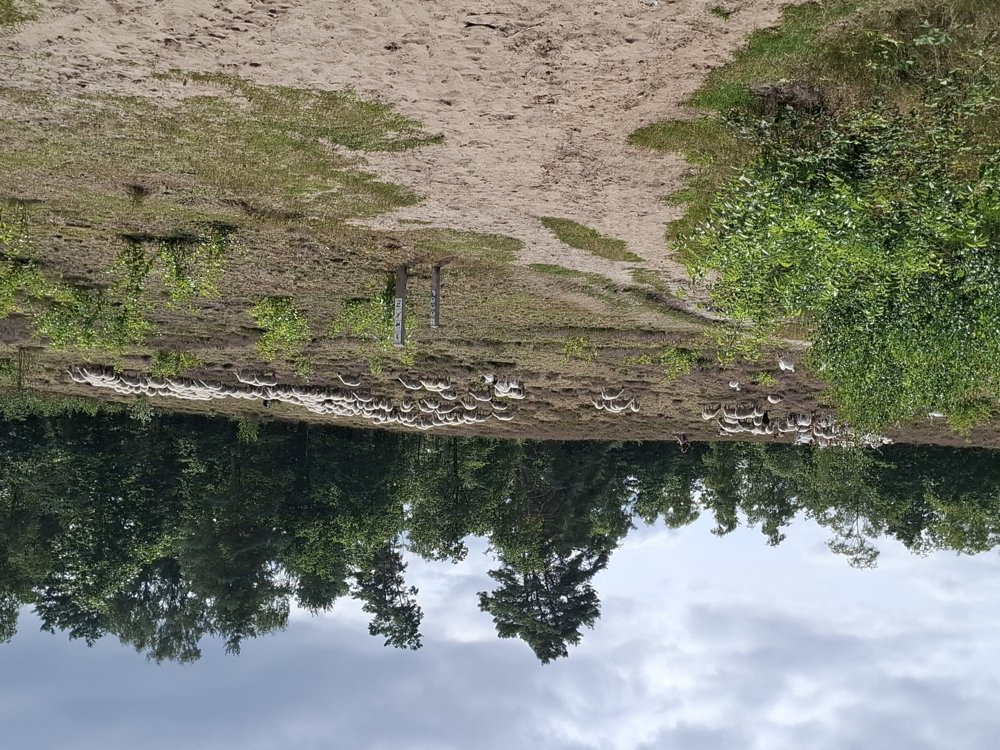
Walk through the forests and heath of Zonhoverheide. This is not a flat walk, but it goes over rolling terrain, so not steep uphill, but there are 79 meters of elevation gain. Beautiful walk through this nature reserve and maybe you will encounter, just like us, the shepherdess with her flock of goats and sheep.
Bench(es): None.
automatic translation
 nodes to follow
0 km

0.3 km
0.3 km
1.2 km
3 km
4.2 km
5.3 km

6 km


 Upgrade to Premium Plus
